Here are the summary hike details:
- Start/ end location: Aualm alpine hut
- Ascent /descent: 480 m/ 1.574 ft.
- Distance: 5 km/ 3.1 miles – see our exact Strava route at the end of the post
- Duration: 4 hours (lunch and photo breaks included)
- Technical and physical requirements: Medium
- Season: June – October
Introduction
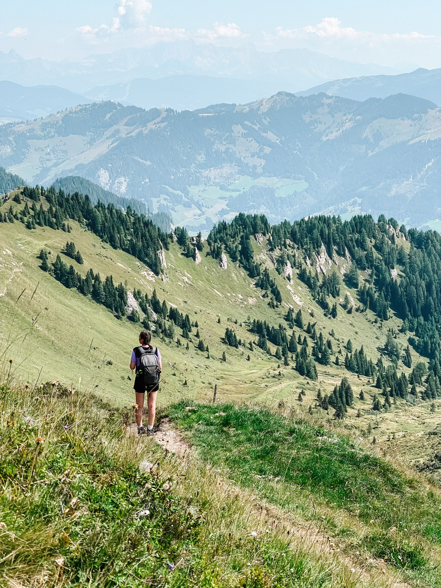
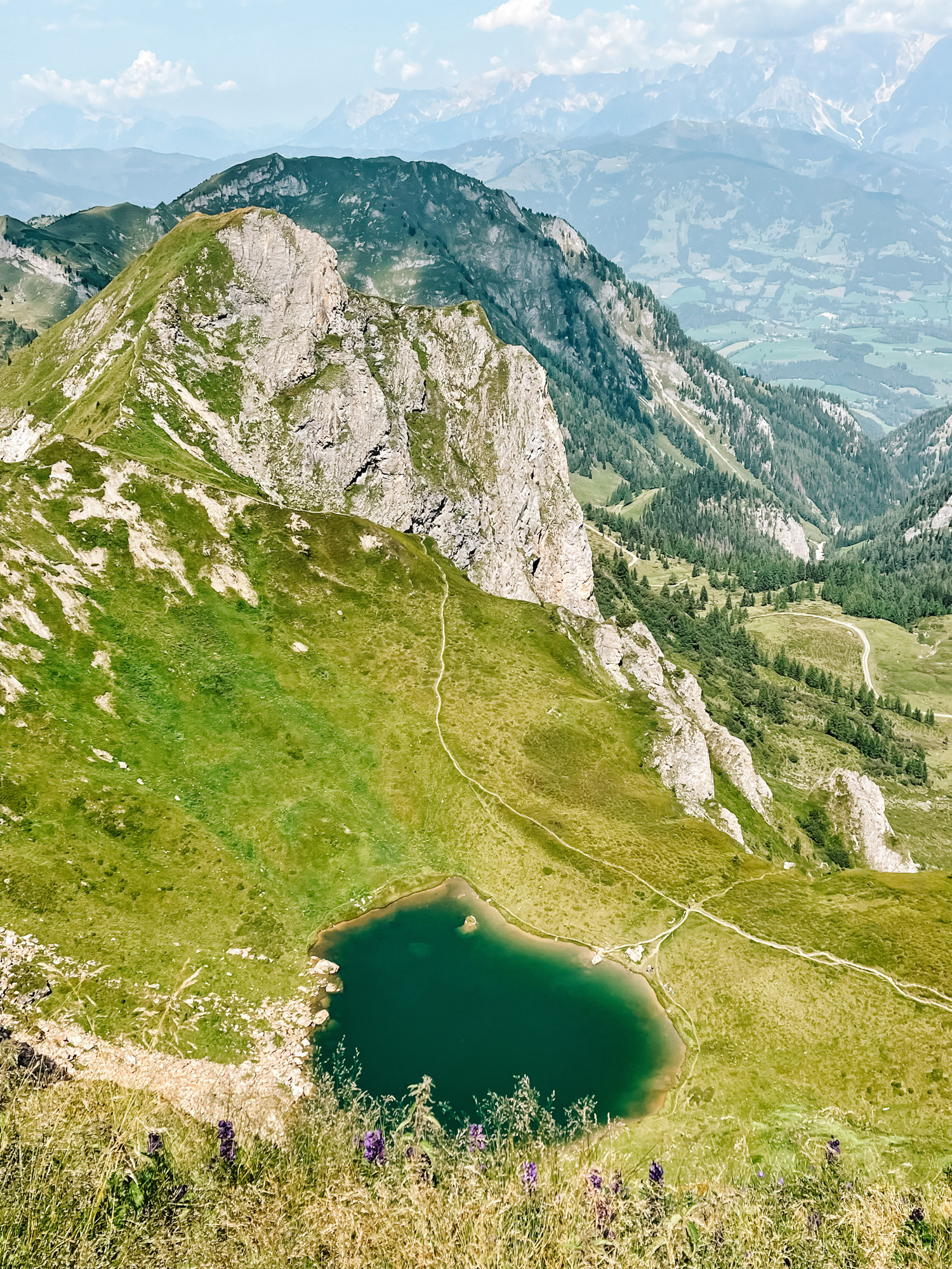
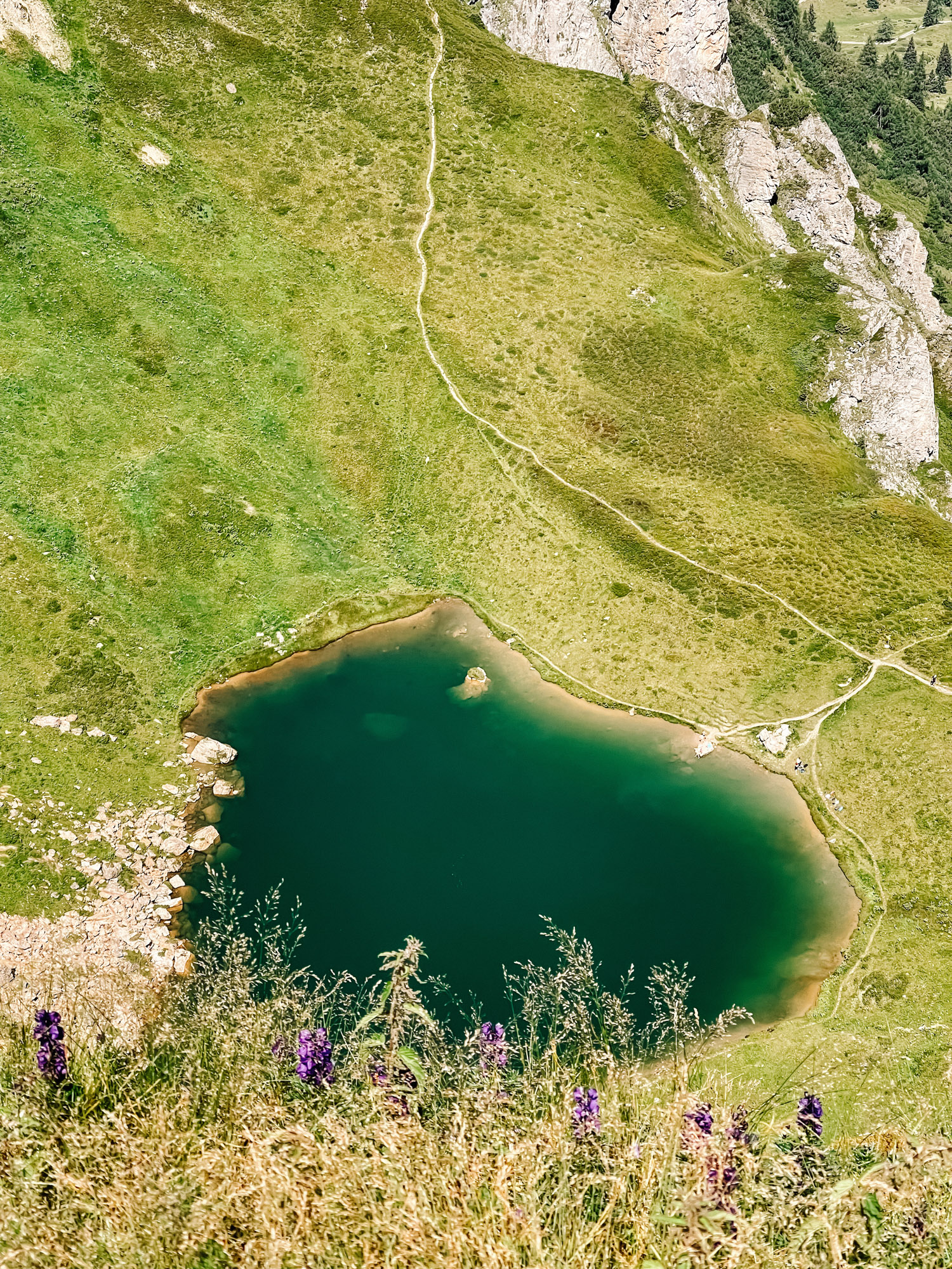
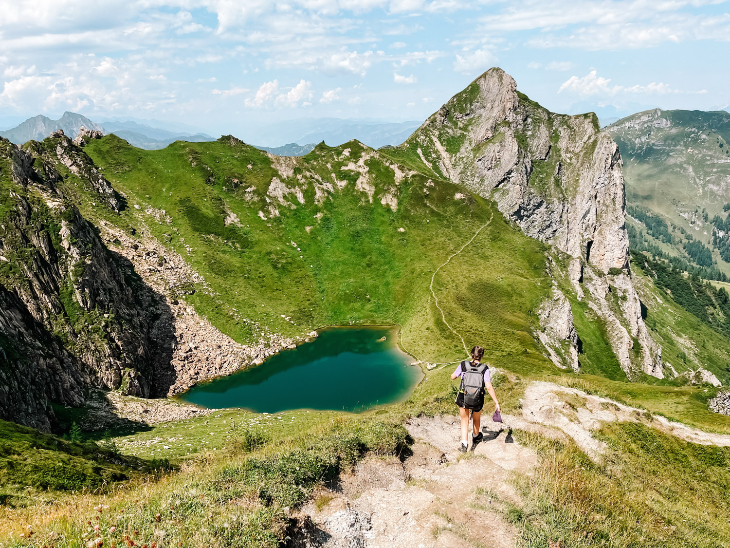
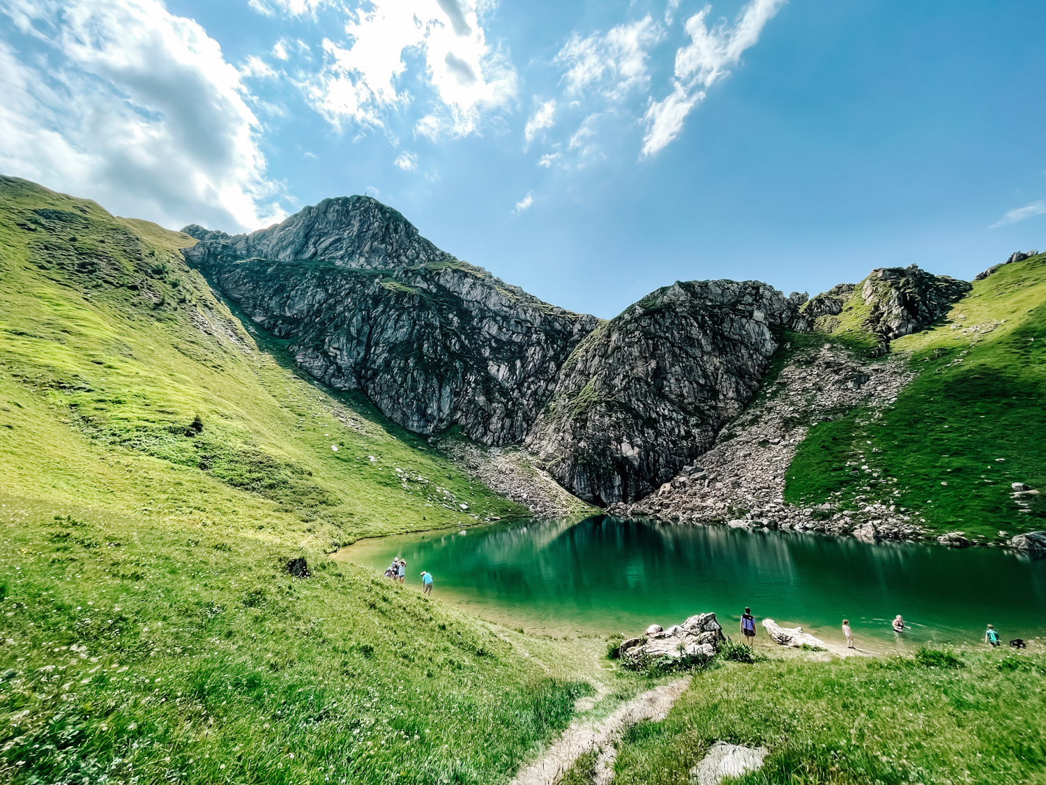
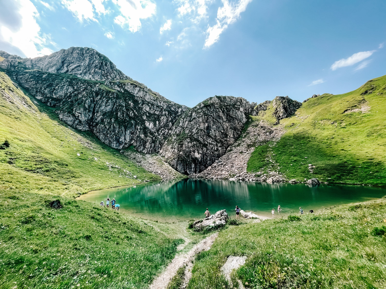
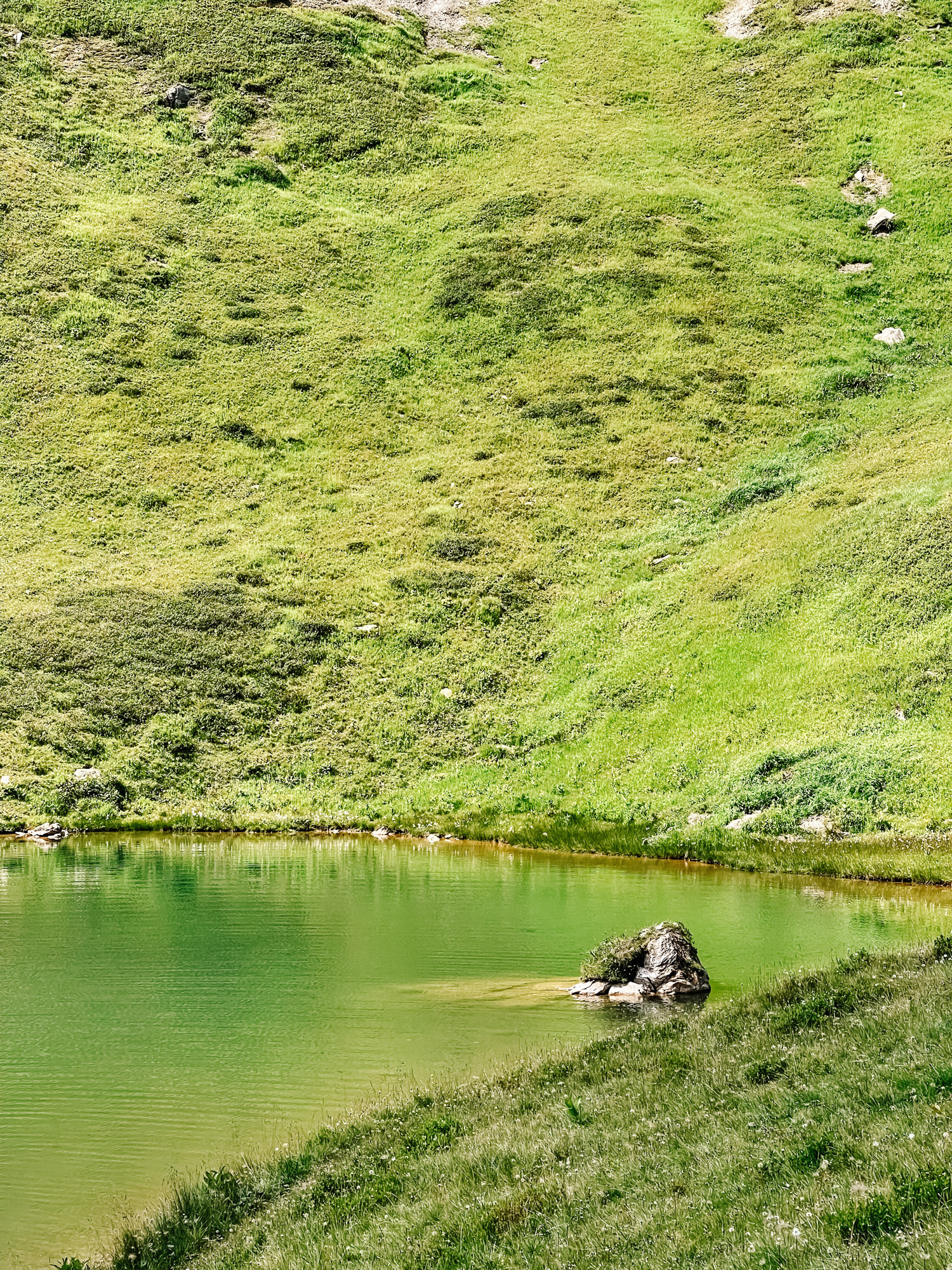
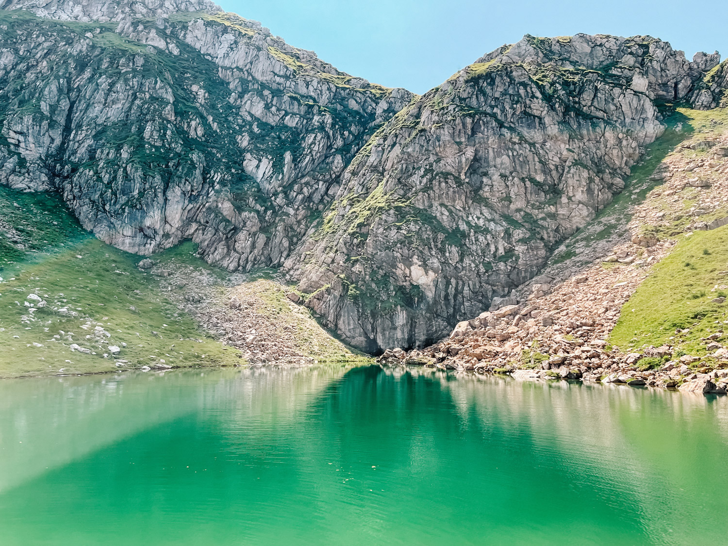
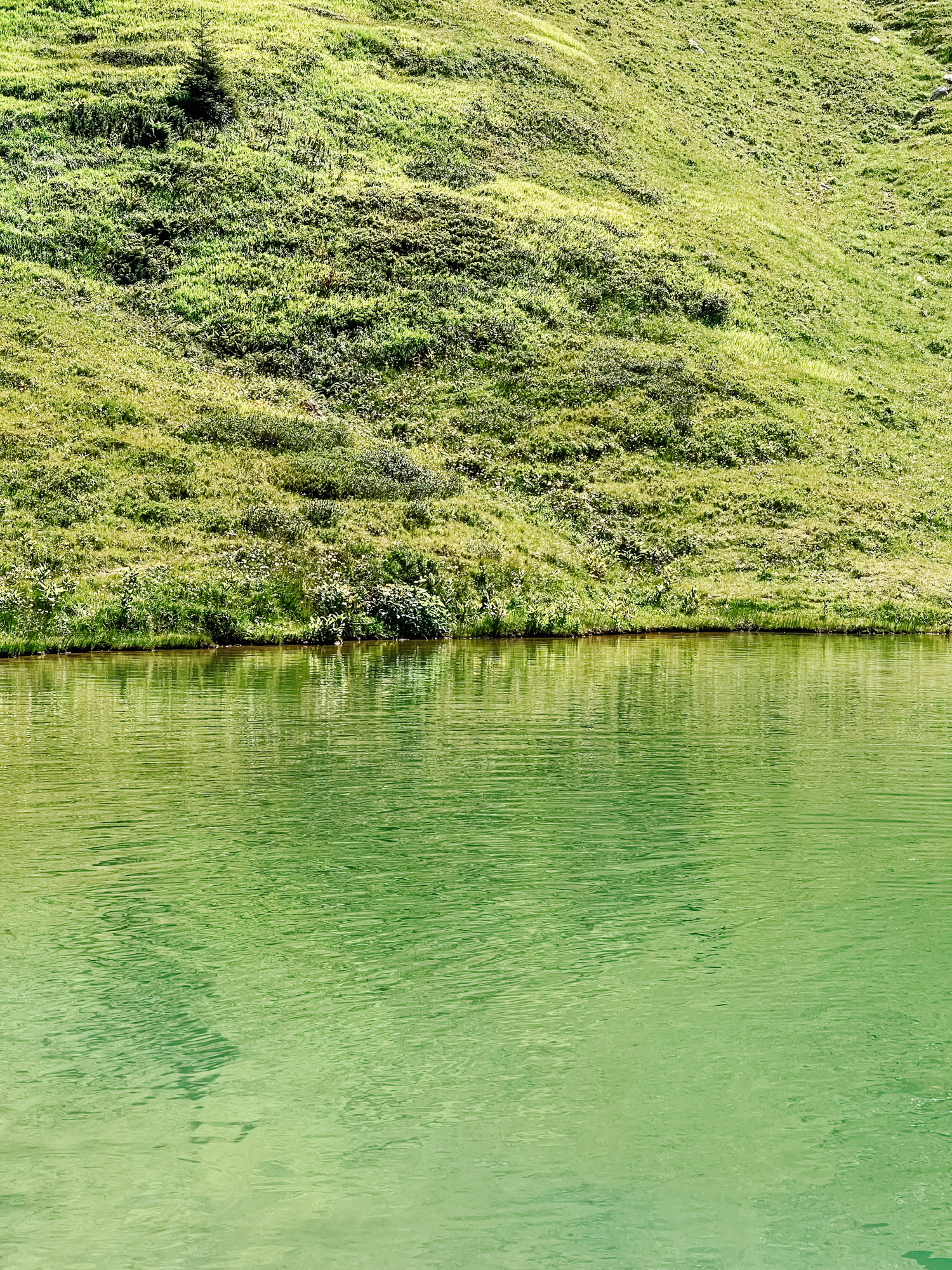
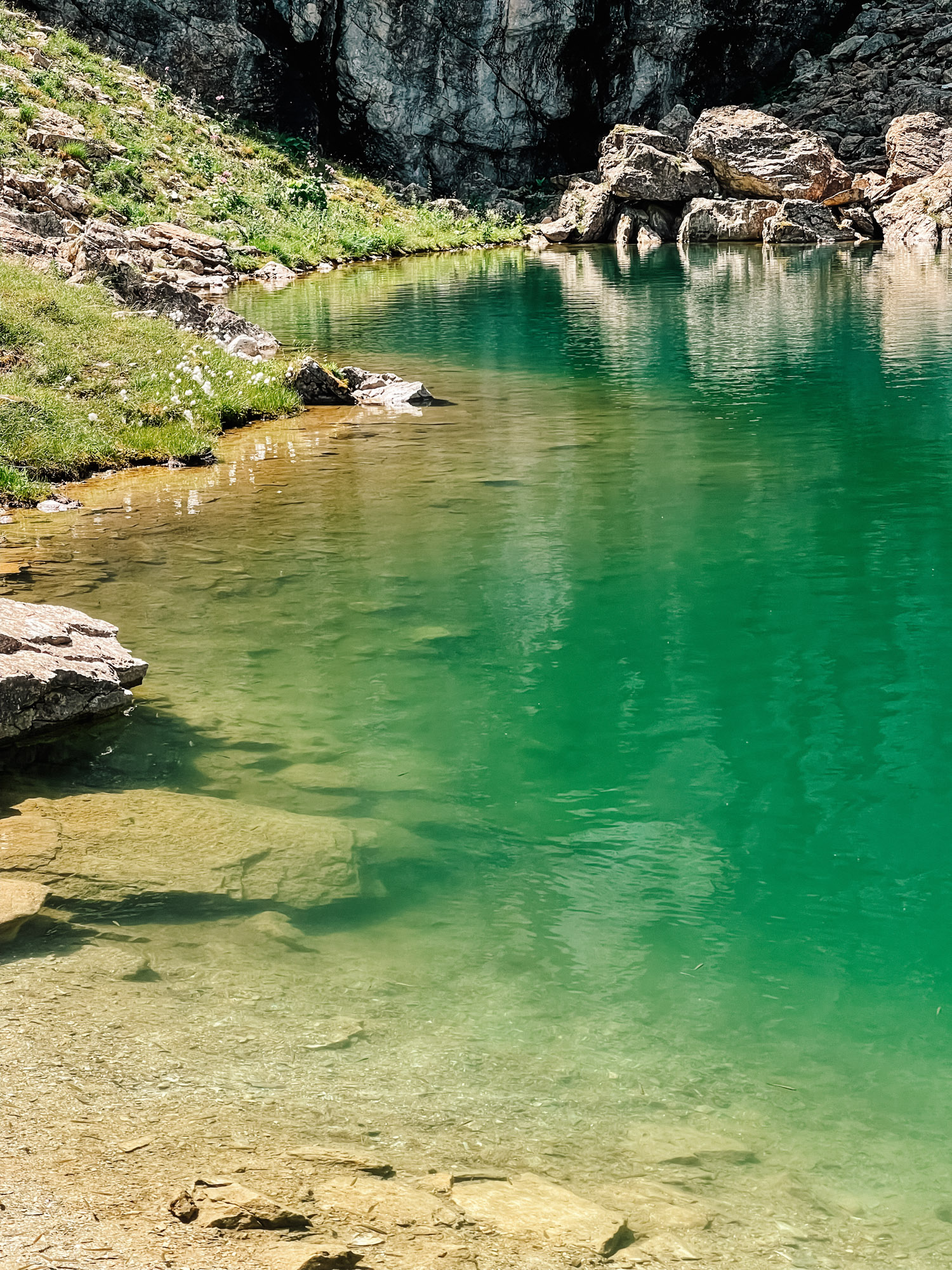
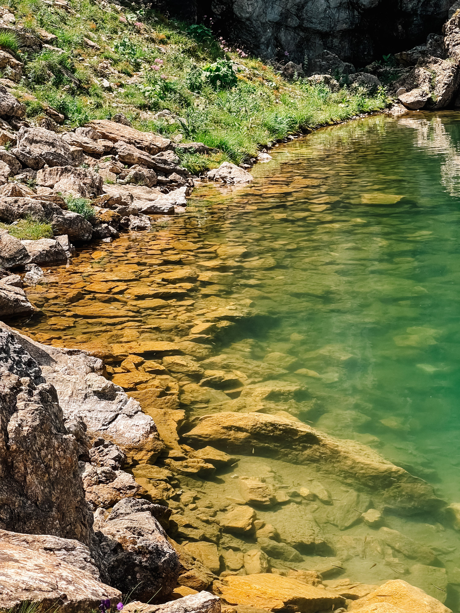
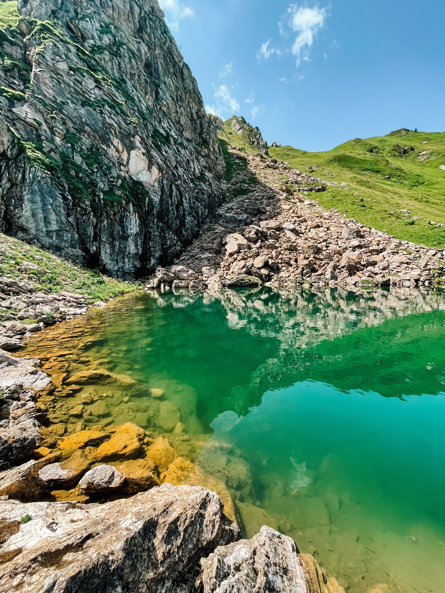
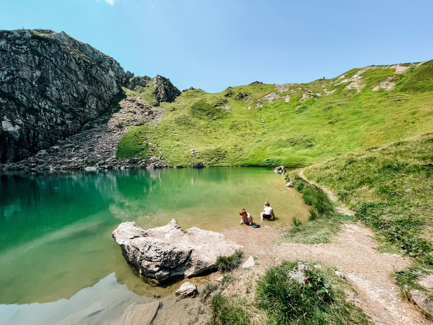
While we were in our small vacation in Alpendorf, Austria, in one of the days we wanted to do a hike in the region (and here is one of the first day activities we did in Alpendorf). We asked the very friendly staff from Der Alpenblick hotel for some local hike recommendations and Schuhflicker peak was the first of the three recommendations we got, so it was our first choice for the next day. We saw that it also has a lake close to it, Schuhflickersee, and we decided to also go to the lake, which is always a great hike combination. You can also reach Schuhflicker from other directions if you want, there are several options visible on the maps, but you would need to do your own research about starting points, distance and accessibility.
Hike details
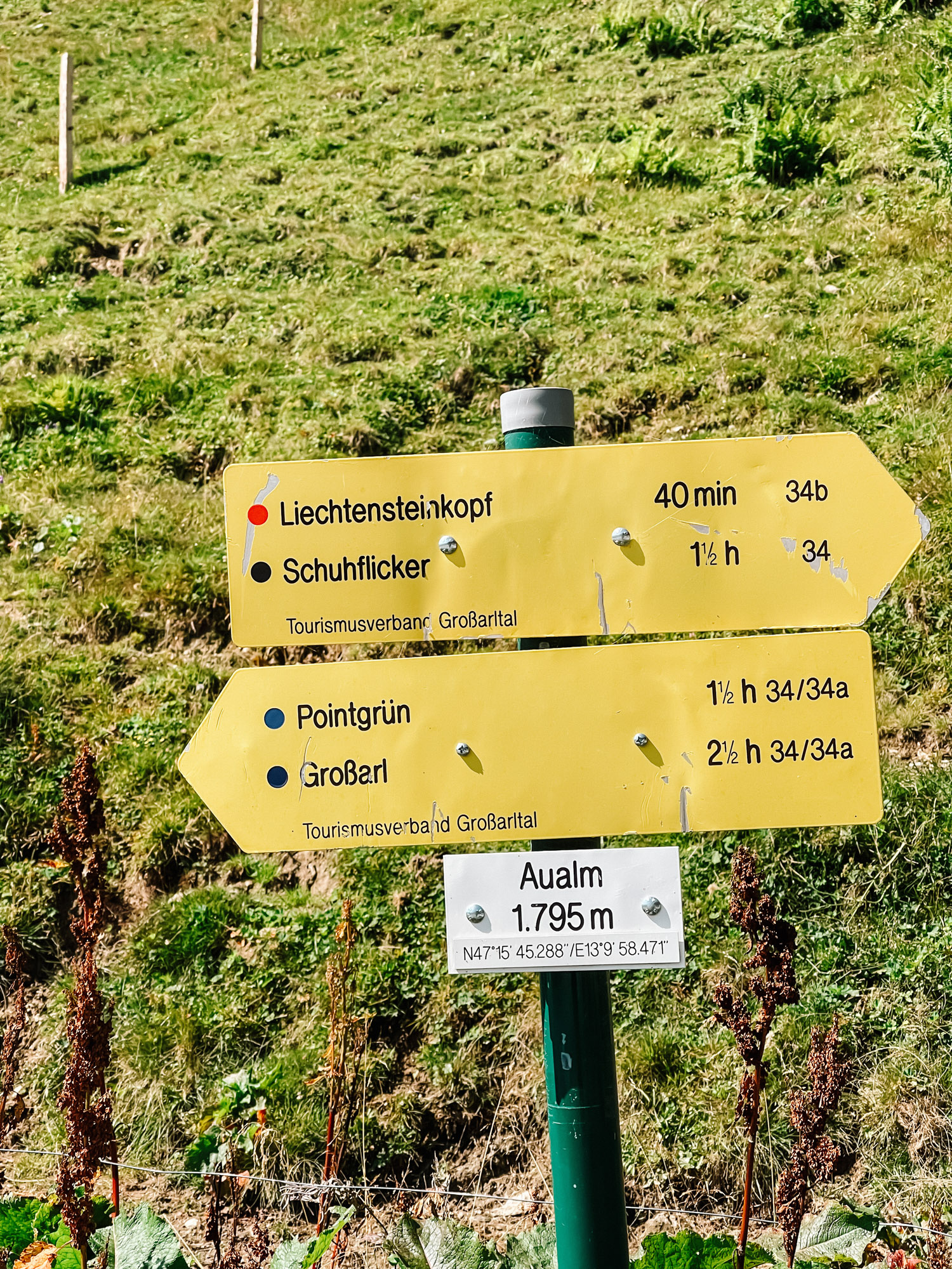
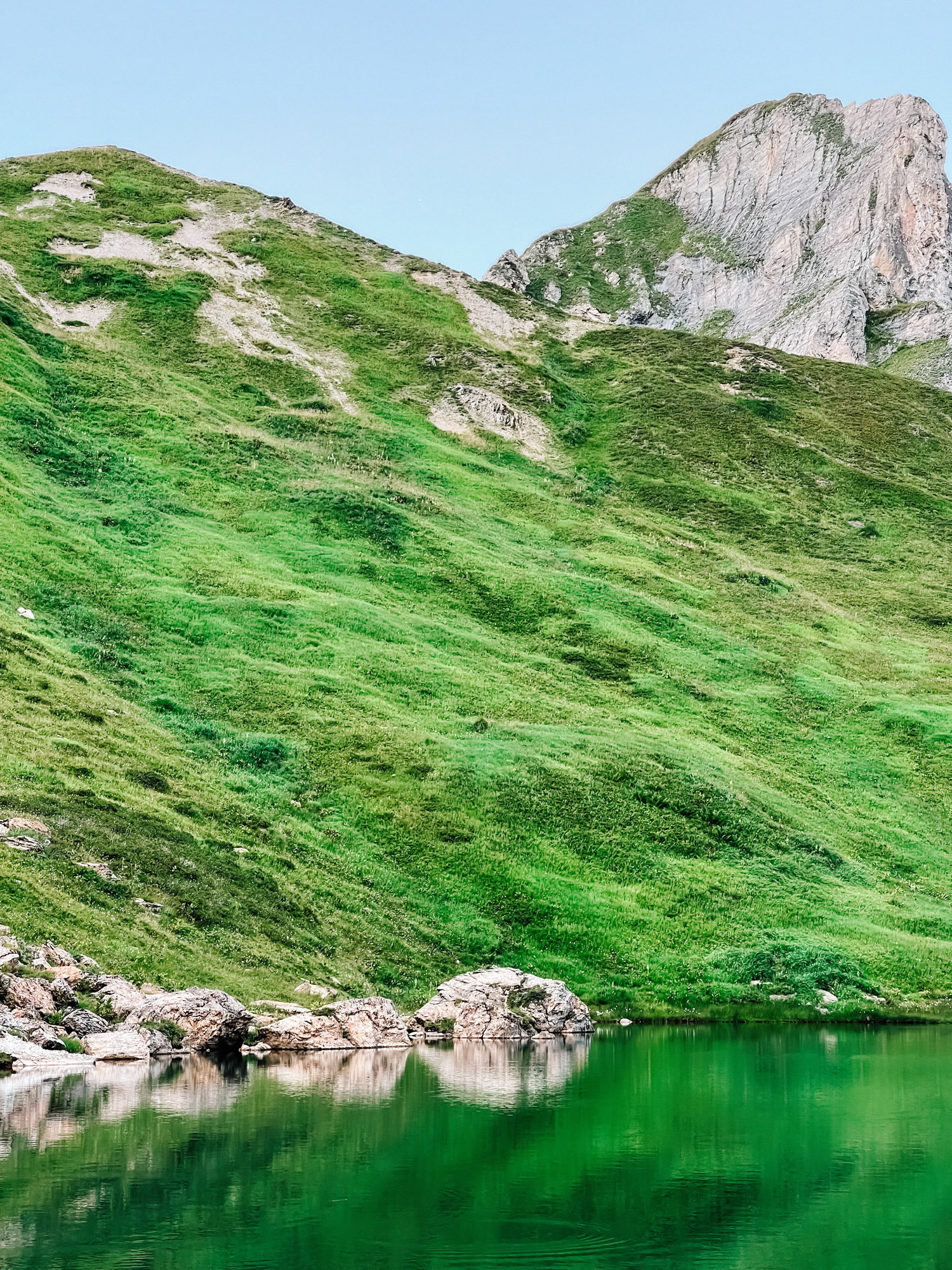
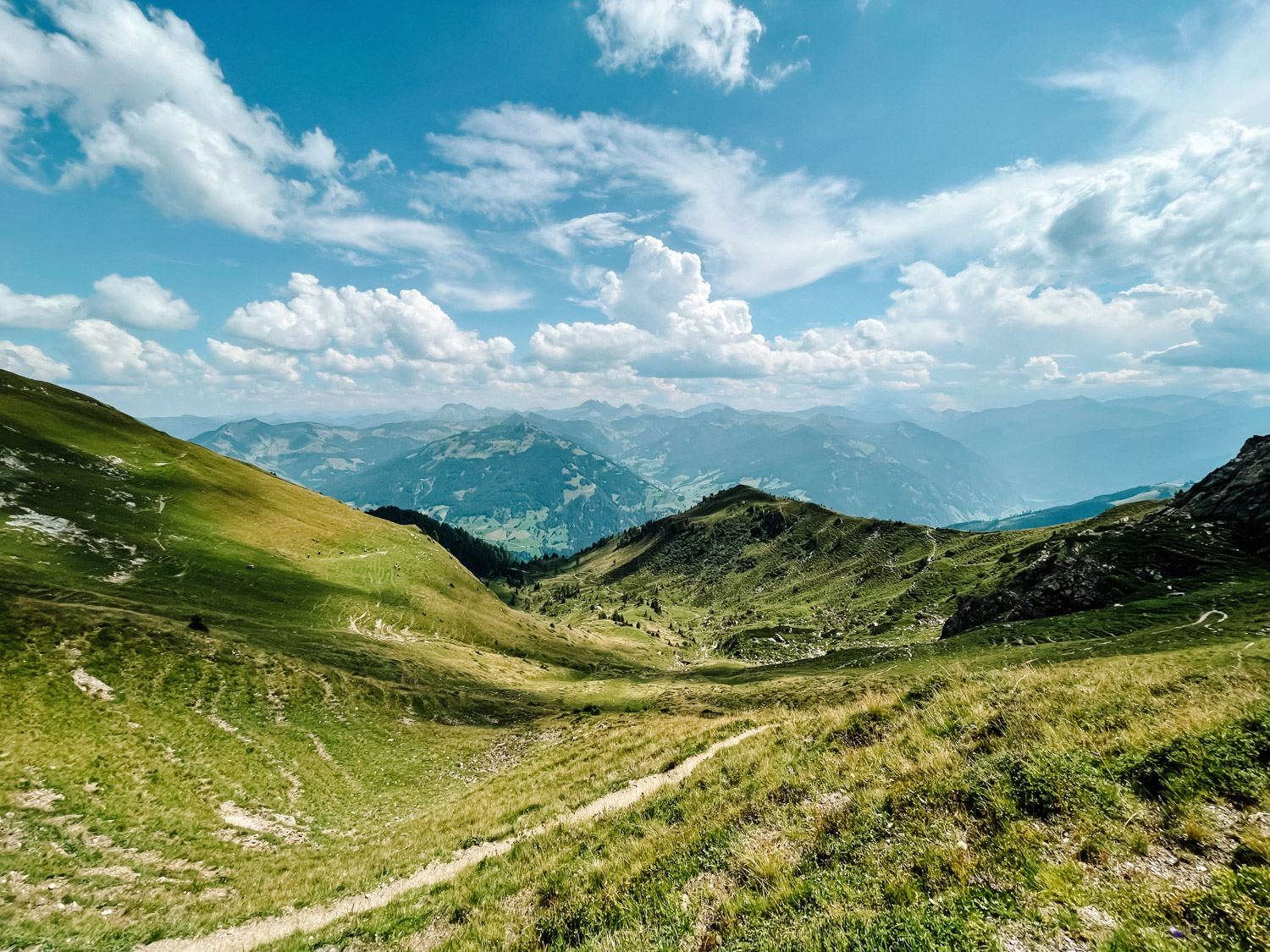
We started the hike from Aualm, here is the Google Maps link, which is accessible by car, bike or by foot from the valley :). Aualm is situated at 1.795 m / 5.889 ft. and is one of the highest alpine huts in the valley. The road there is well maintained and it can by reached by any car. The hut is open daily from mid-June to end of September. You can also have a nice lunch here after you finish your hike. Also, parking is free in front of the hut and there are around 15 -20 spaces available.
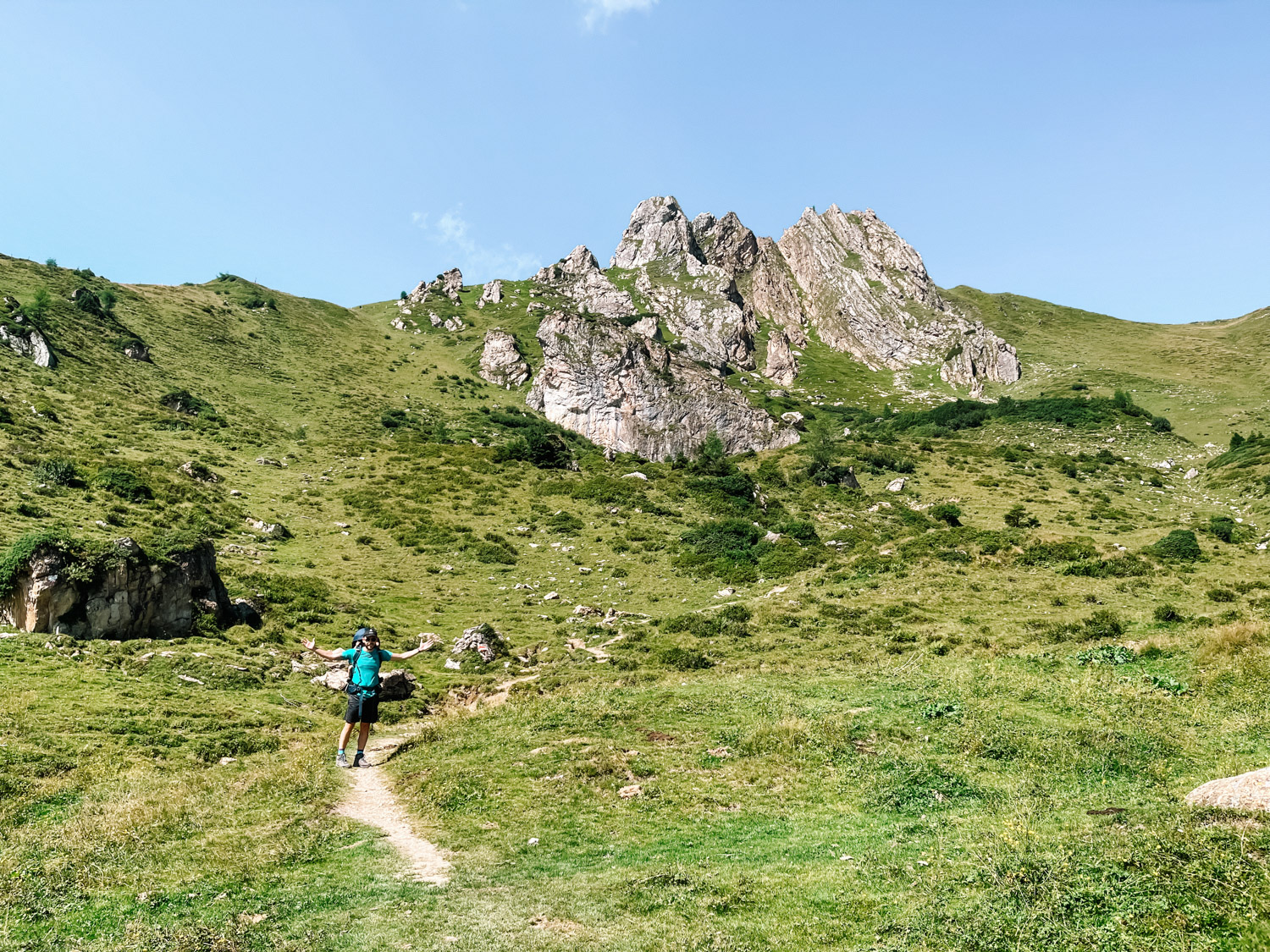
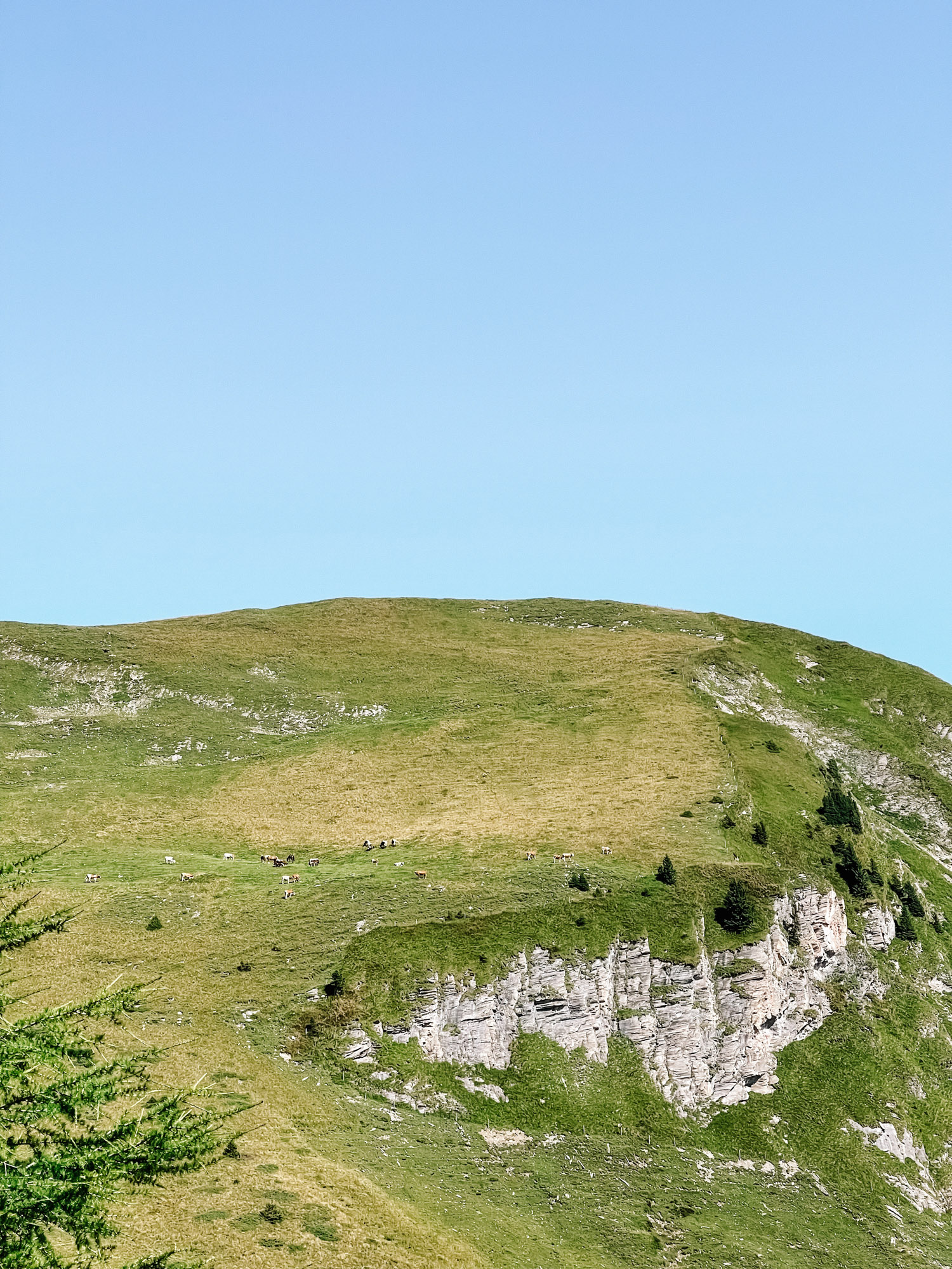
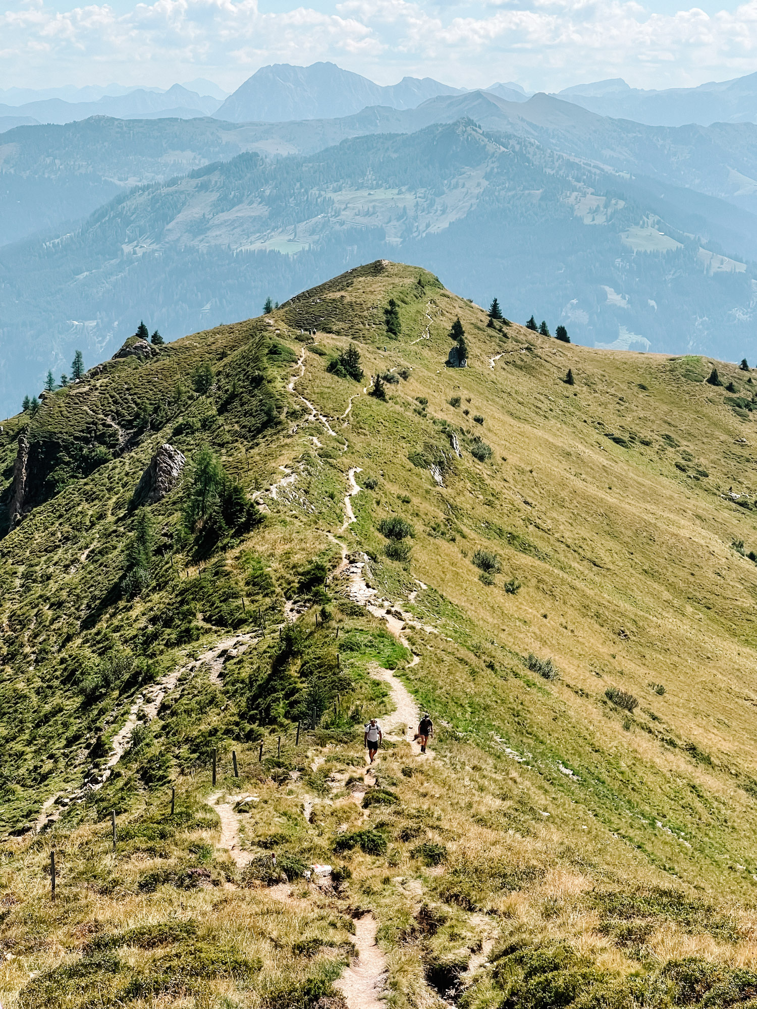
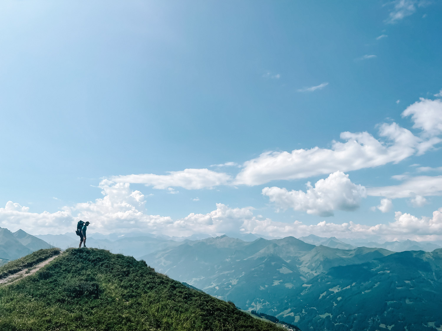
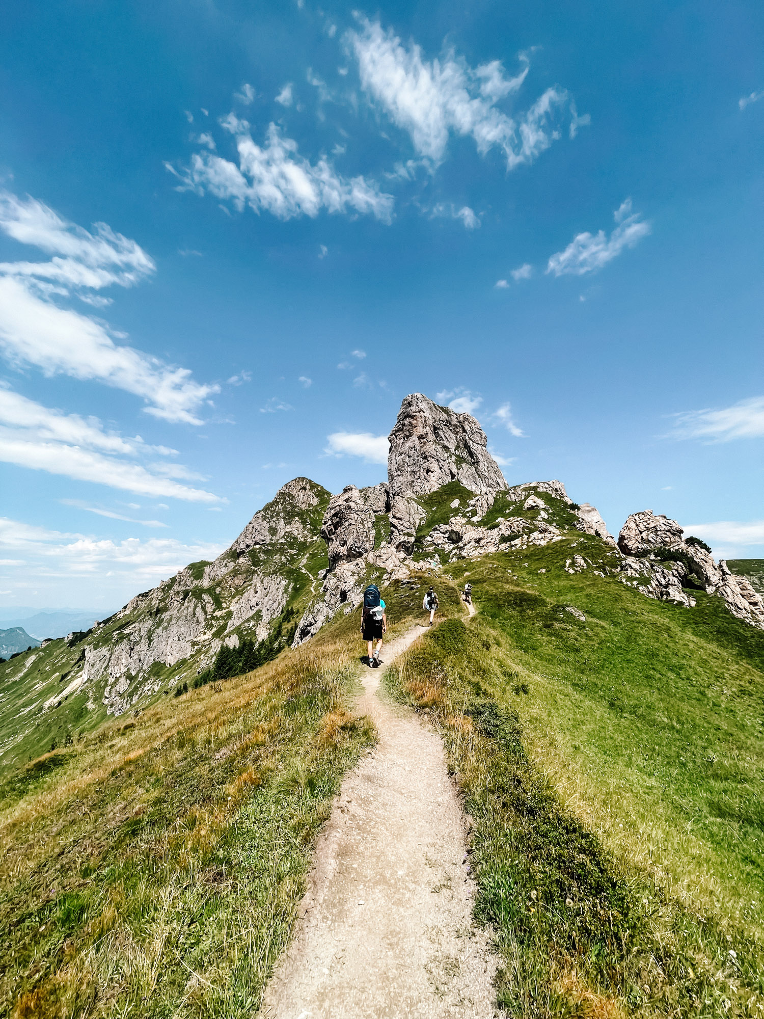
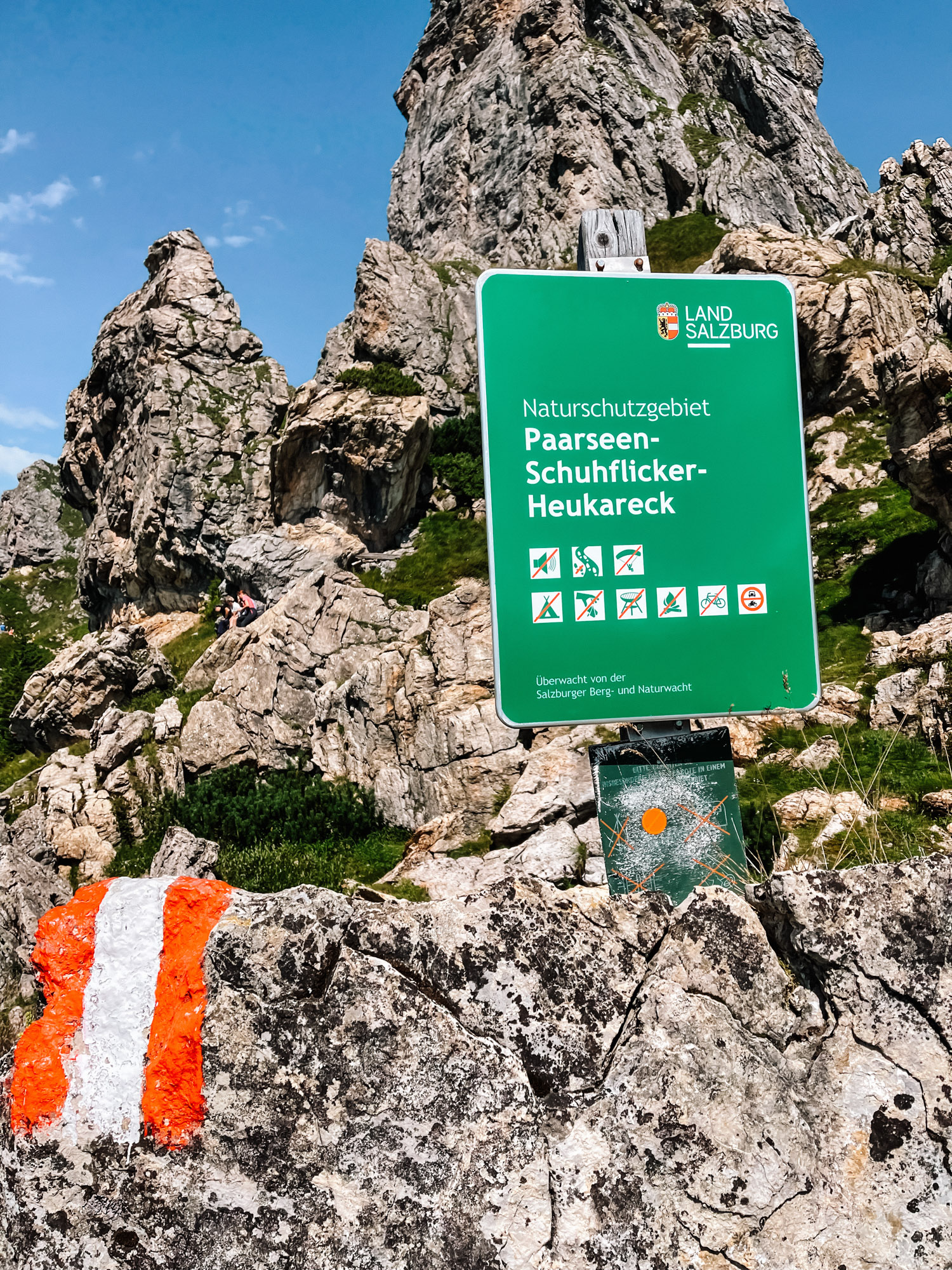
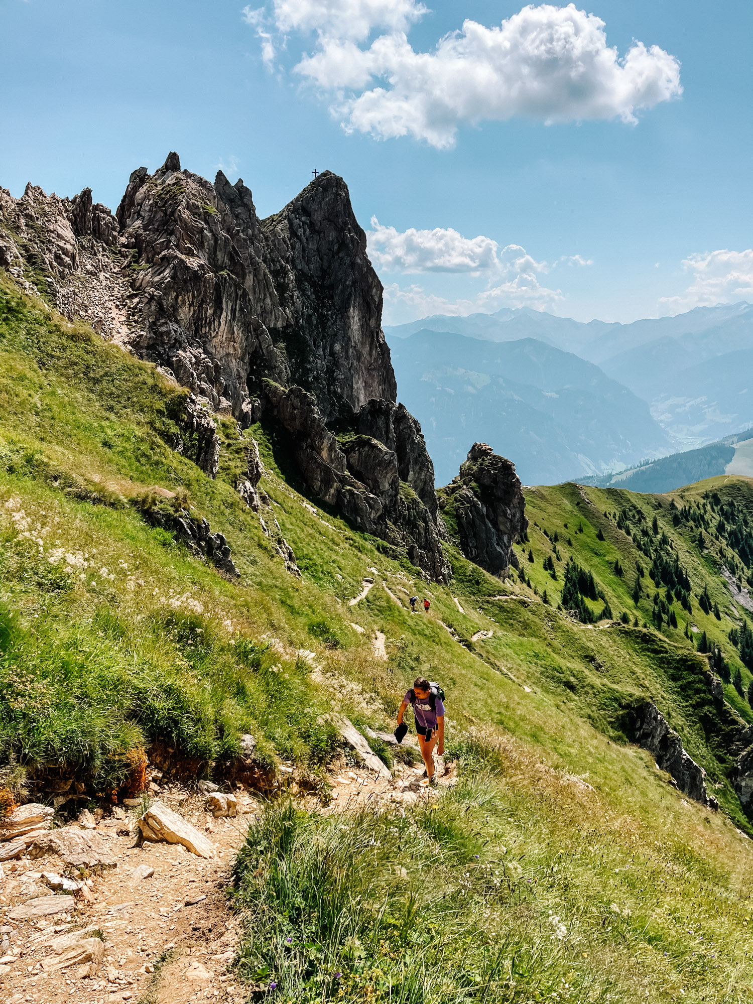
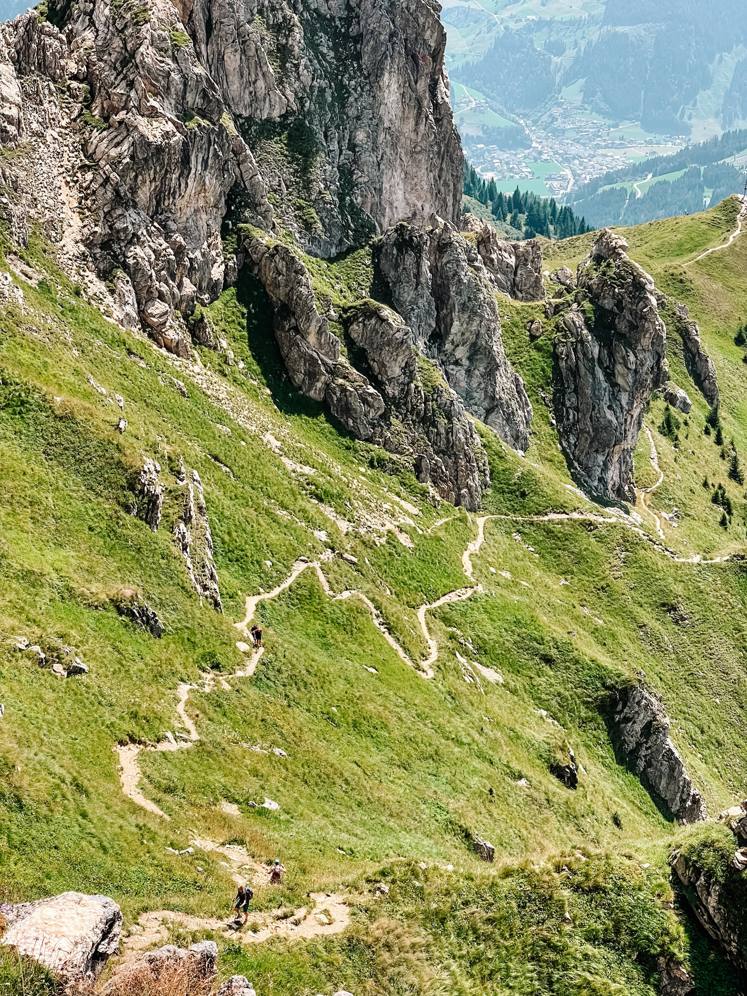
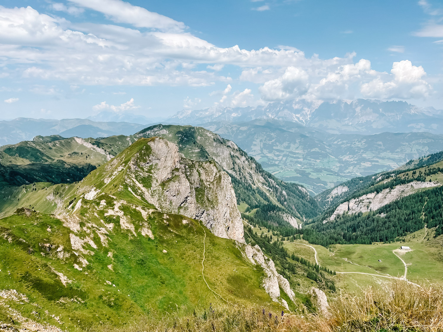
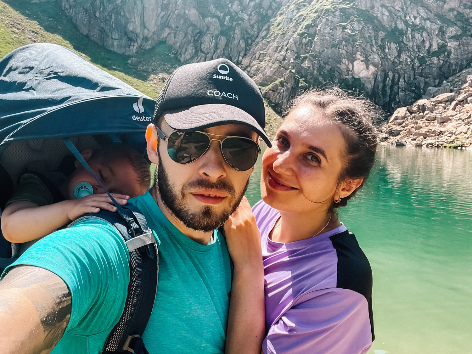
The hike to Schuhflicker (2.214 m / 7.263 ft.) is starting directly from Aualm. Also, it is well marked with red and white postings, the path is also well maintained as you’ll see in the pictures below. Towards the end it gets a little exposed and it is not recommended if you have vertigo and are afraid of heights, but that is only for the last part of the hike (which you could also skip and go directly to the Schuhflickersee if vertigo is an issue for you). At the end of the post you can see our Strava route for the exact path, that you can use or customize based on your preferences. The entire hike took us about 4 hours, including approx. 50 minutes spent at the lake. It has a length of 5 km/ 3.1 miles, with an elevation of around 480 m/ 1.574 ft. The area is well known for the mountain flora and if not very crowded.