Here are the summary hike details:
- Start/ end location: Wägerhus (bus station)
- Ascent /descent: 1.100 m (3.600 ft), including summiting Jörihorn
- Distance: 12 km
- Duration: 5-6 hours (snack and photo breaks included)
- Technical and physical requirements: Medium
- Season: June – October
Introduction
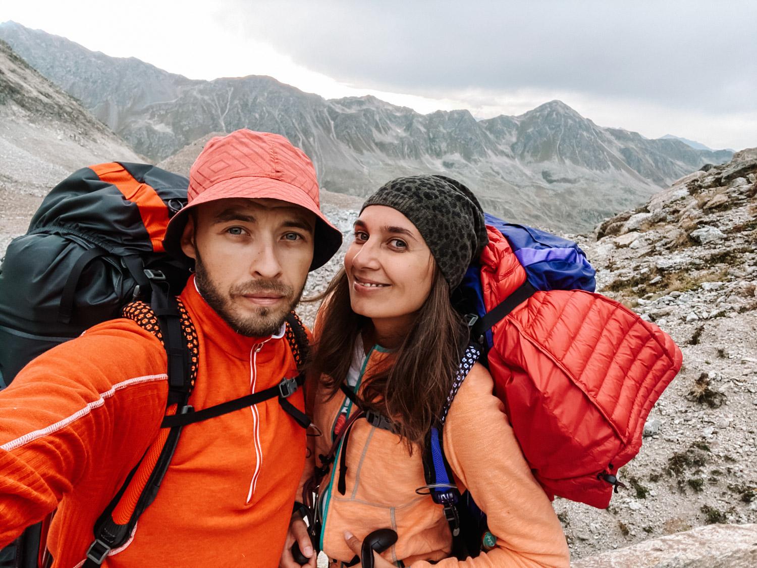
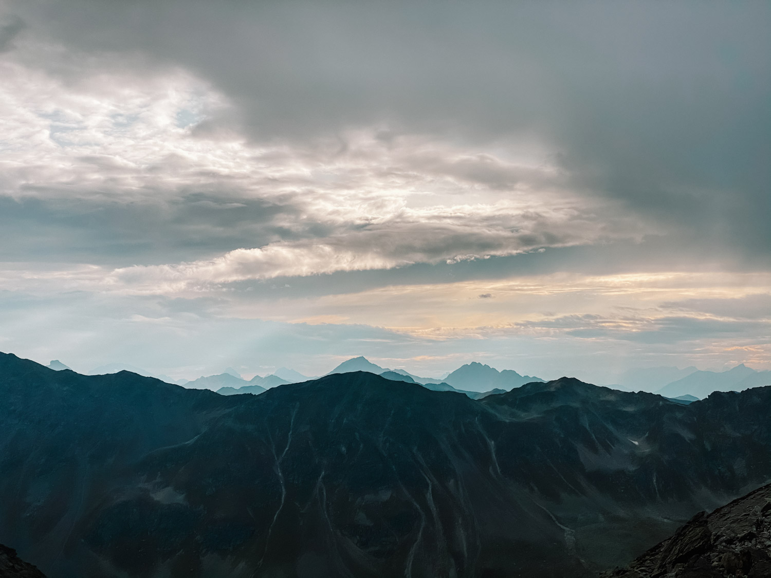
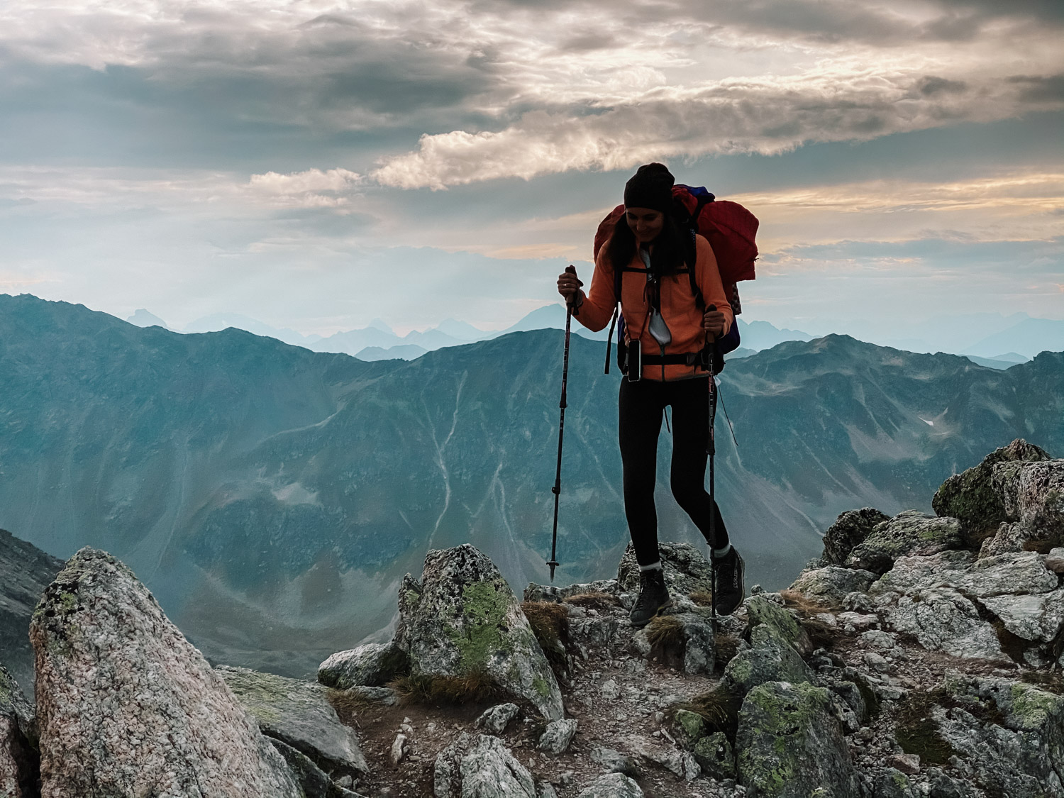
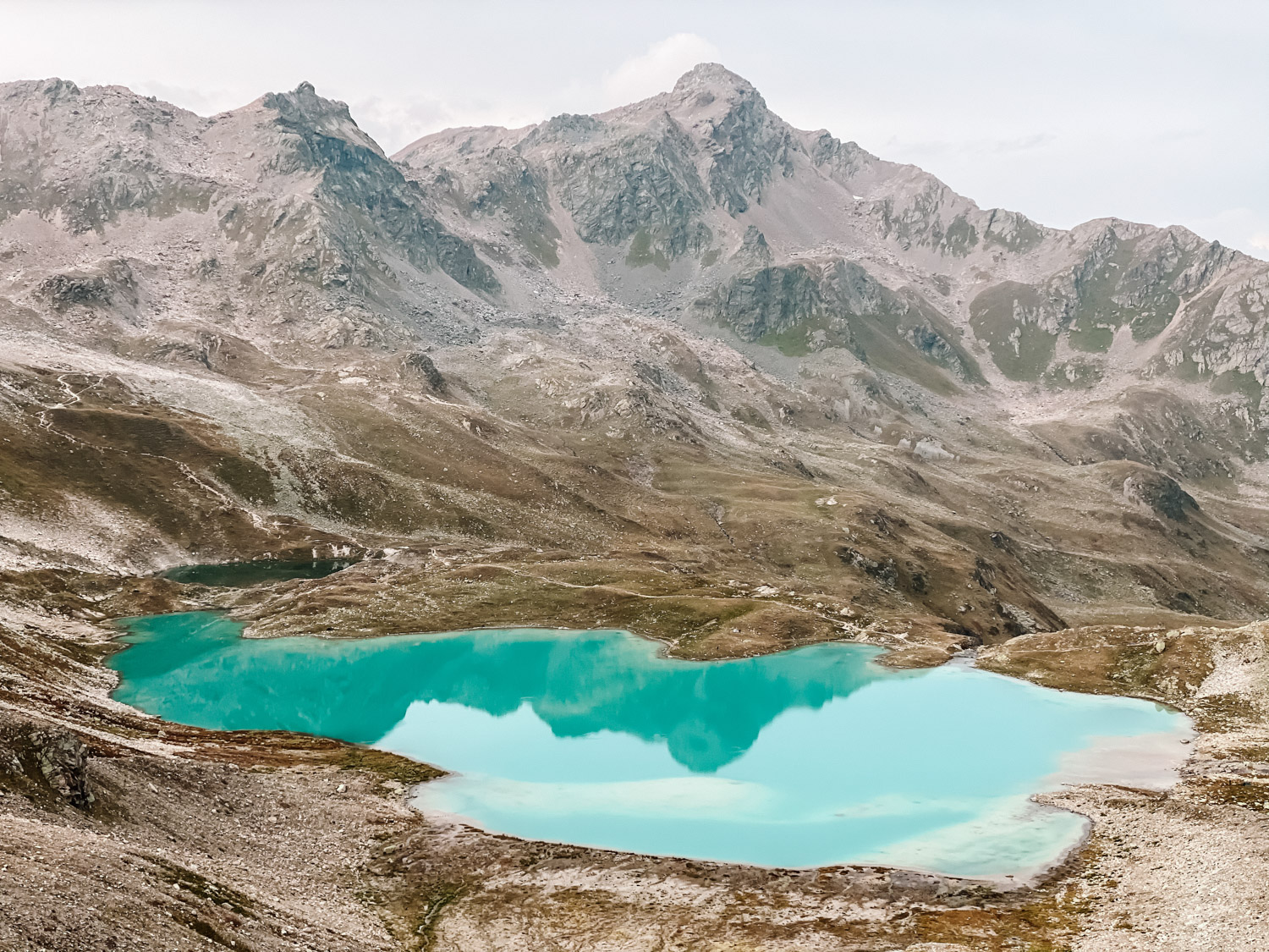
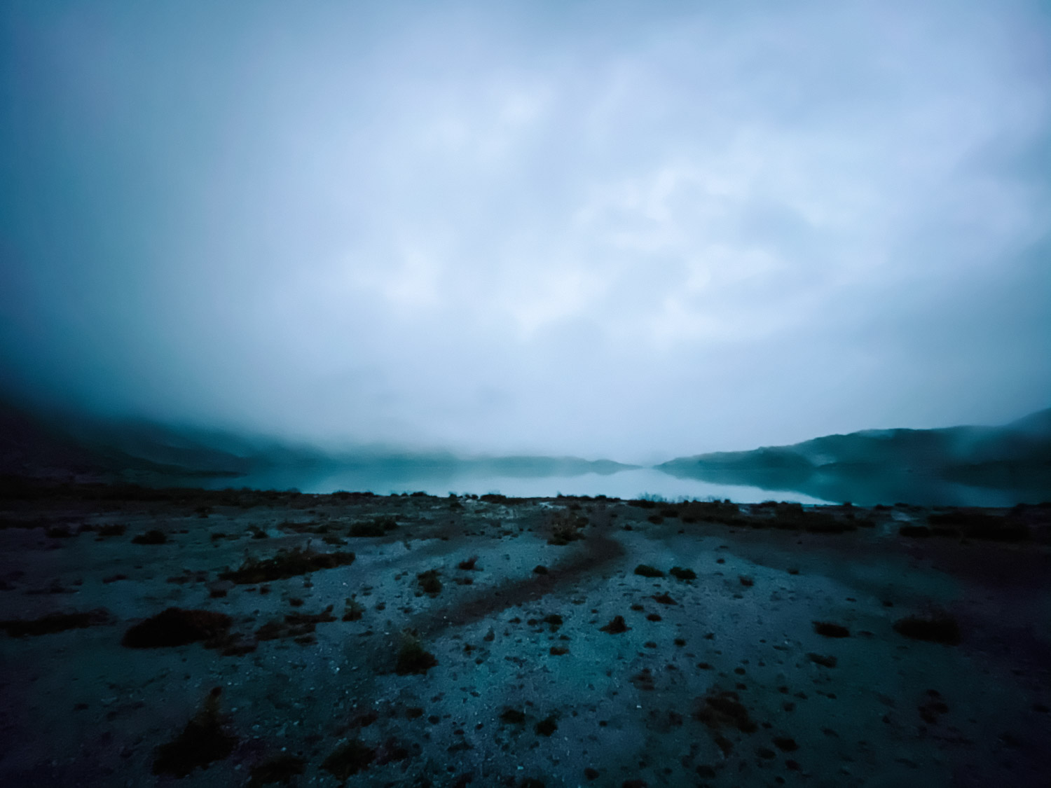
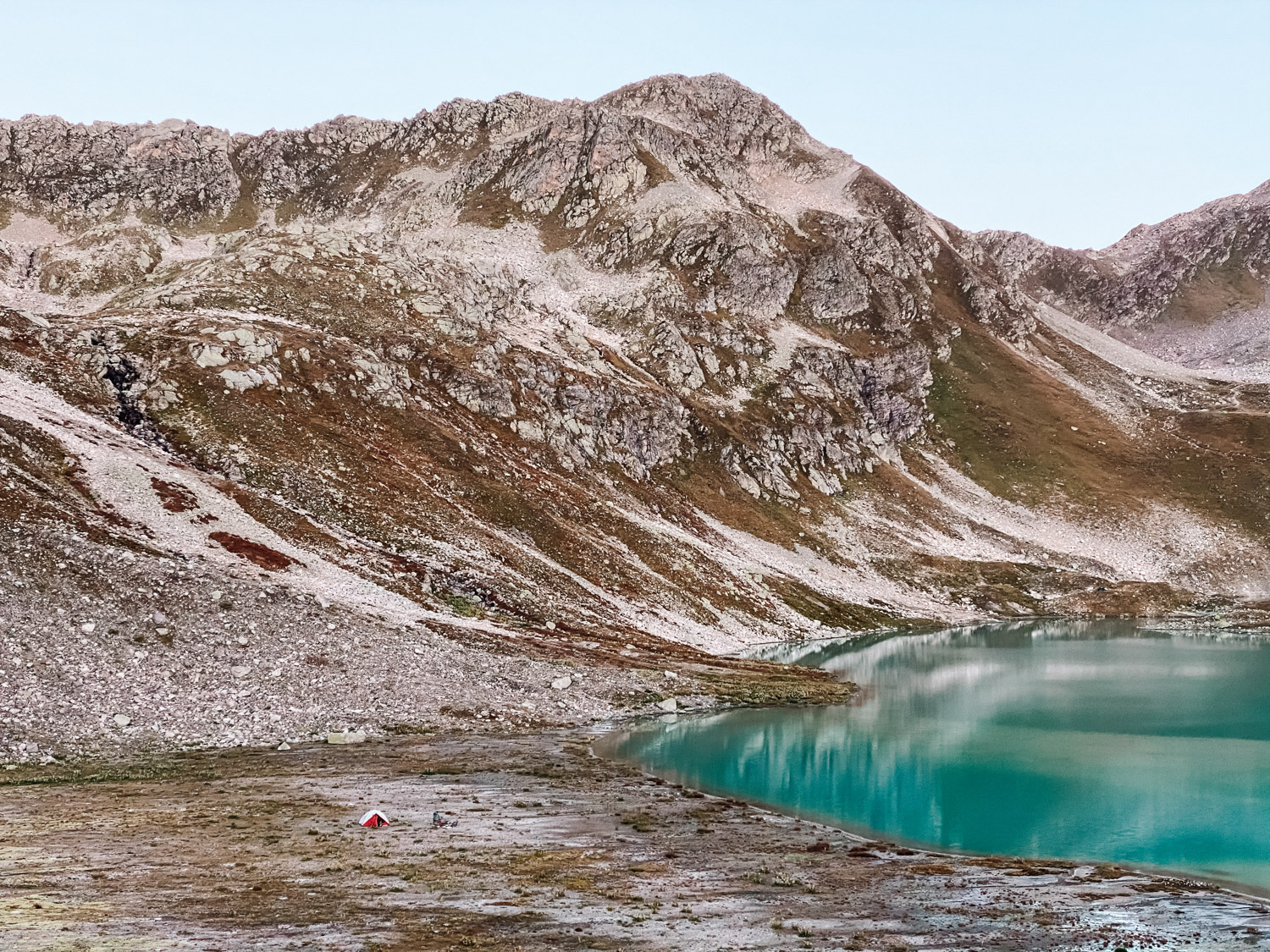
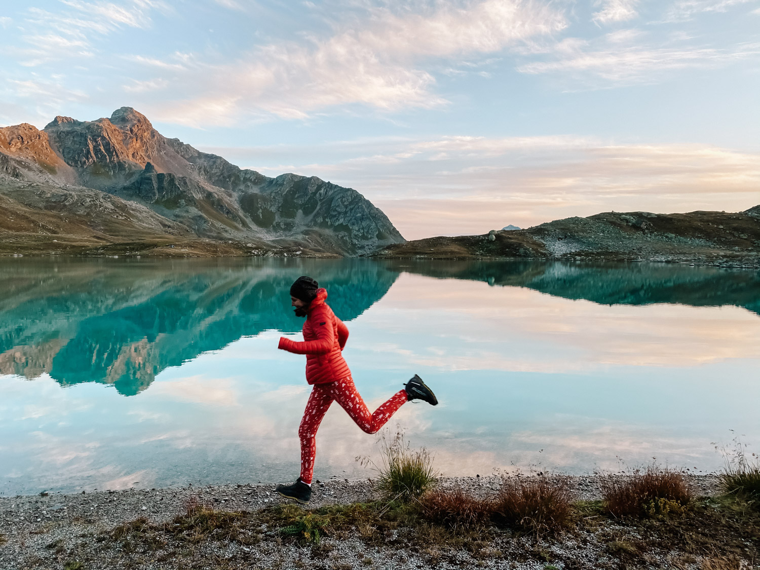
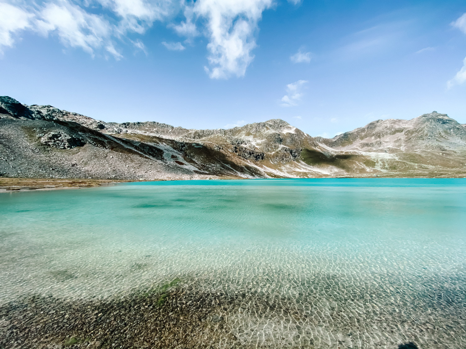
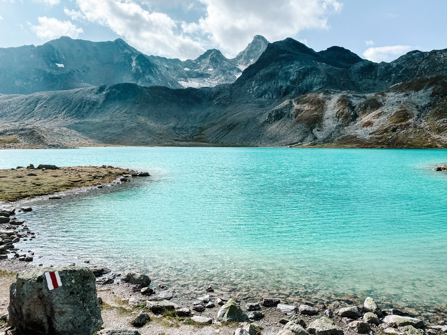
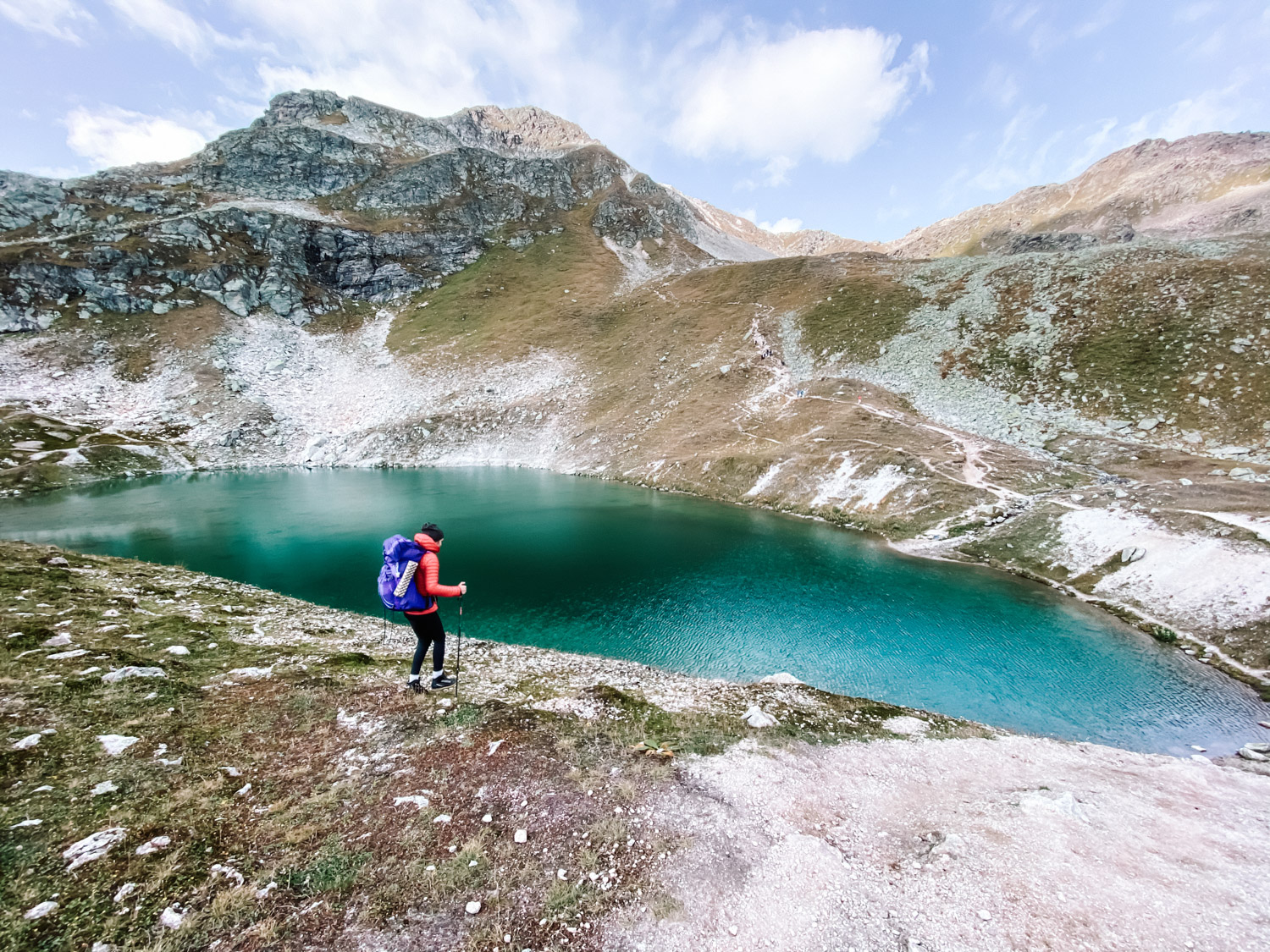
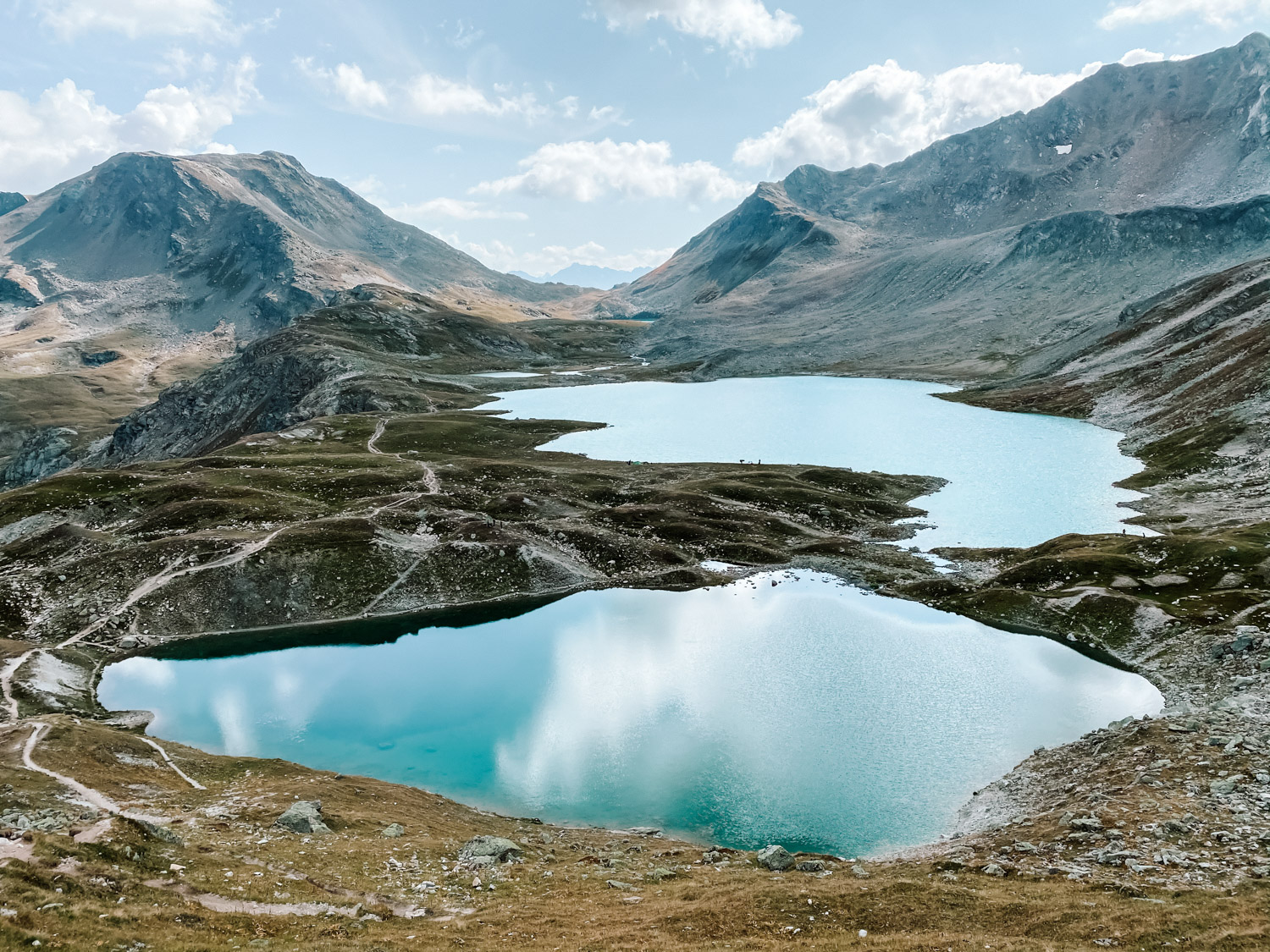
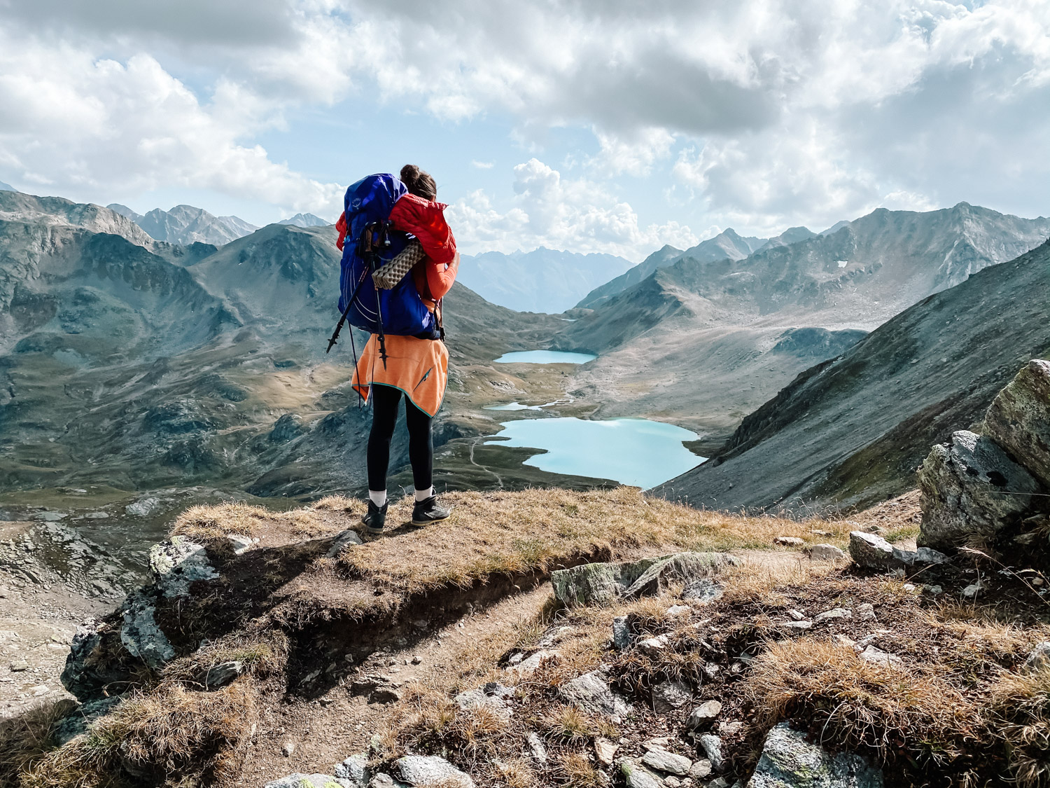
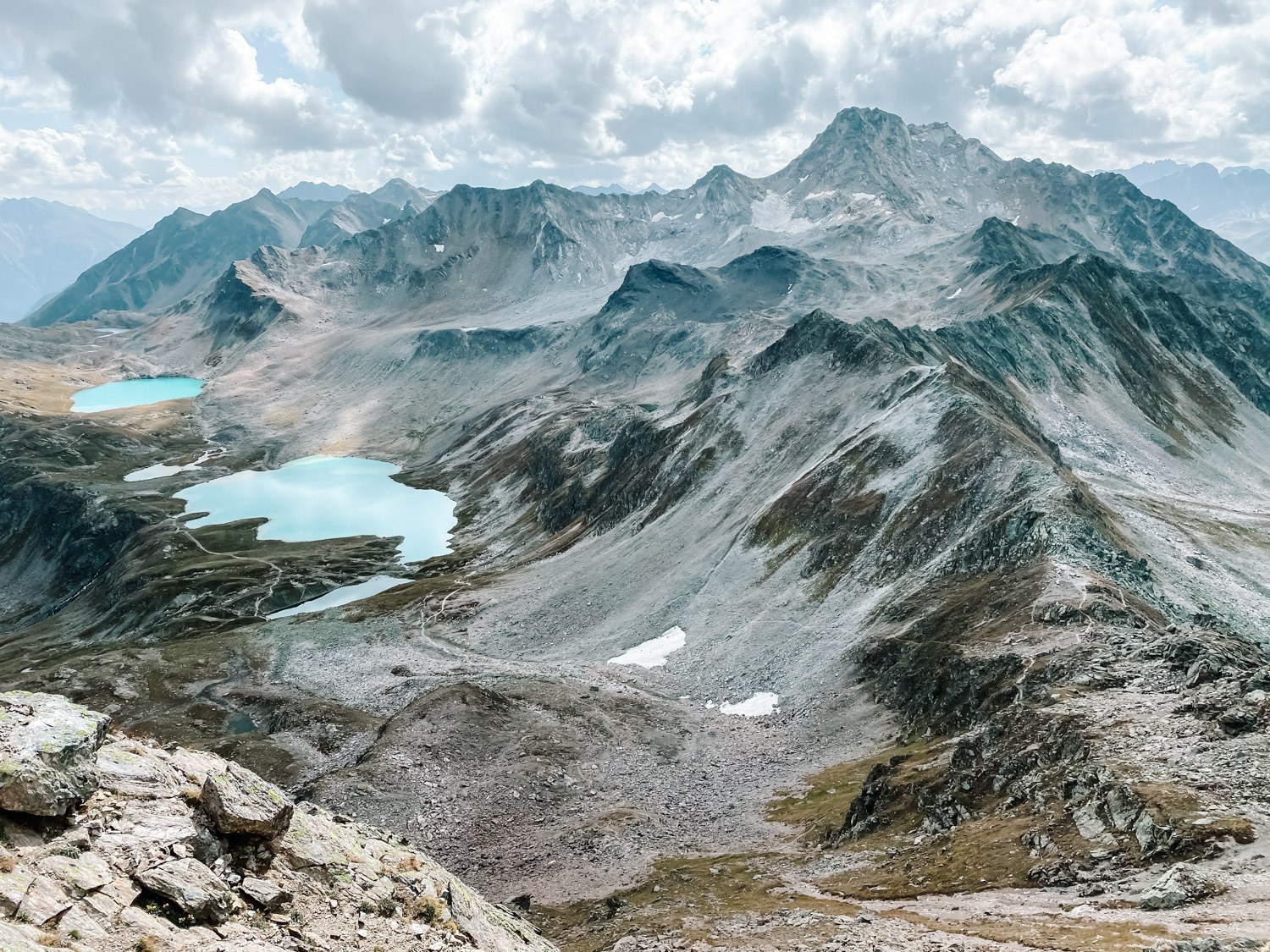
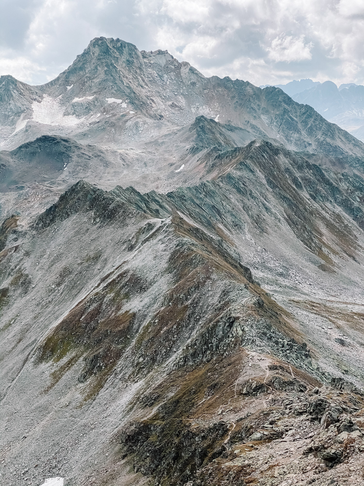
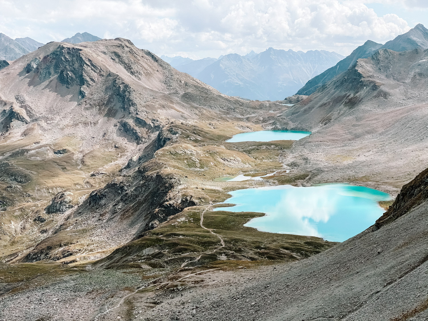
We started our two days journey with an wild camping overnight at Jöriseen, in what it seems to be one of the last warm weekends of September. The entire hike is a spectacle and offers amazing views from the two peaks you’re hiking, towards the Jöriseen lakes (a bunch of Alpine lakes and is situated west of the Jörifless Pass and north of the Flüela Wisshorn).
Hike details
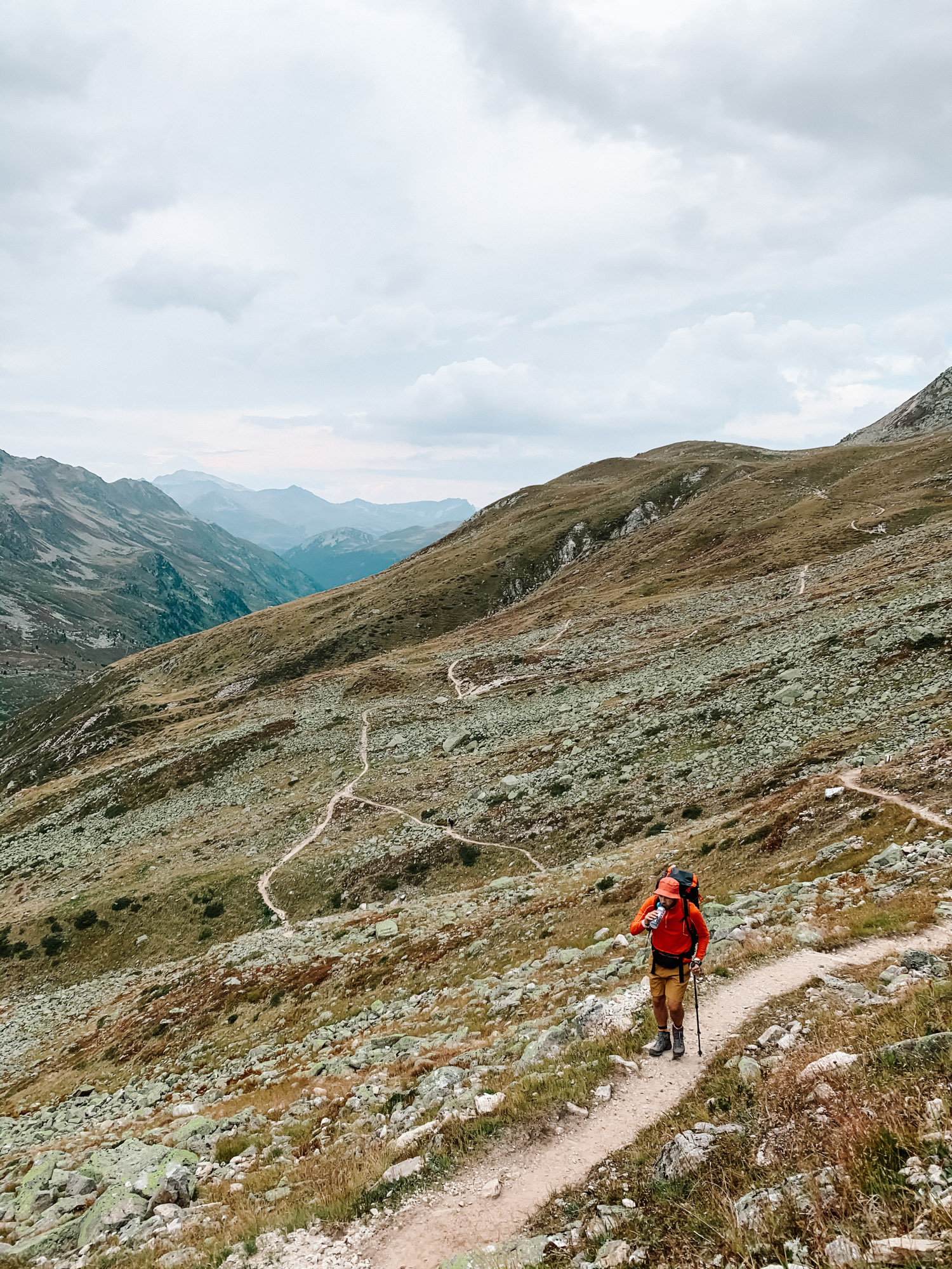
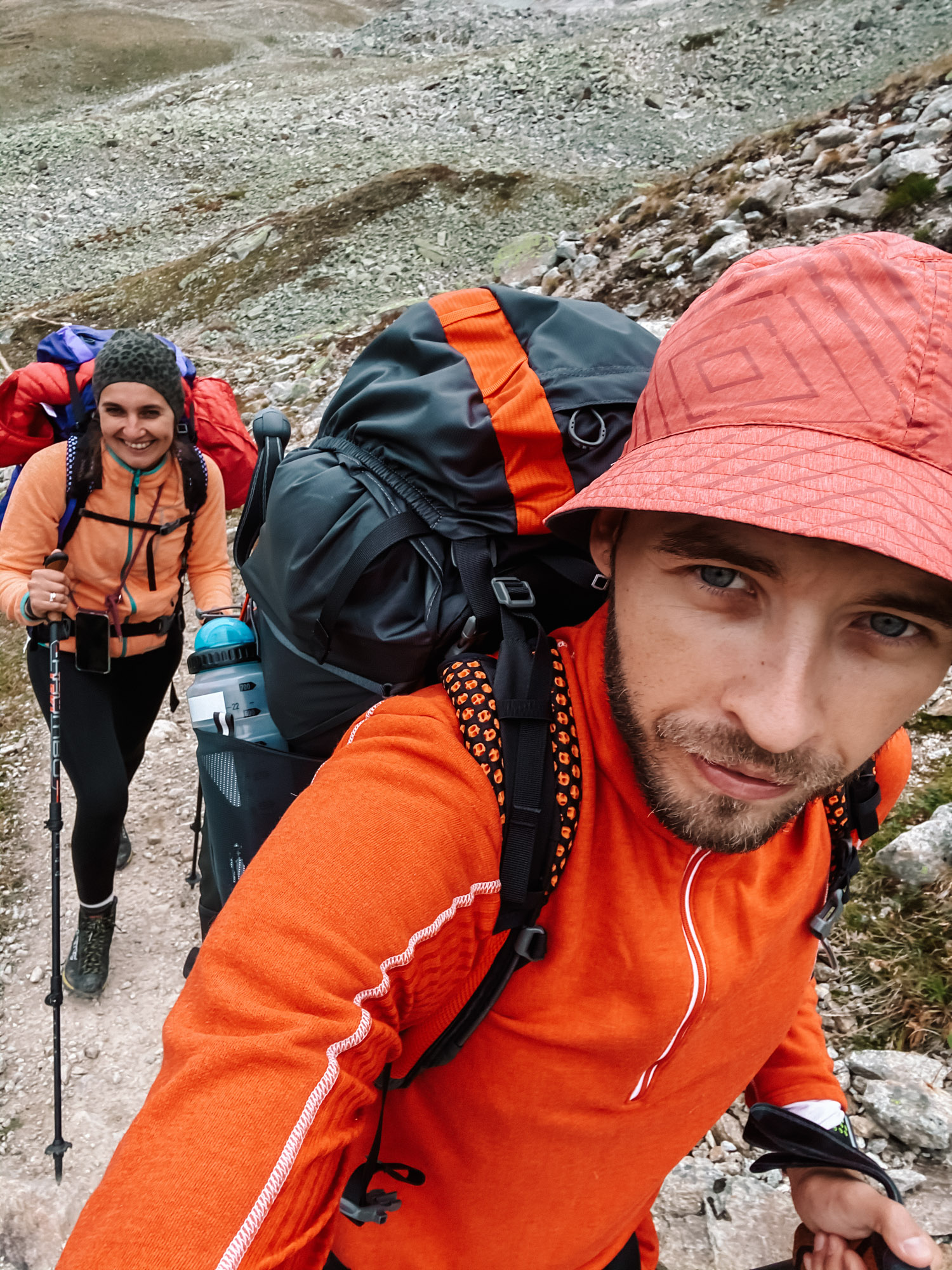
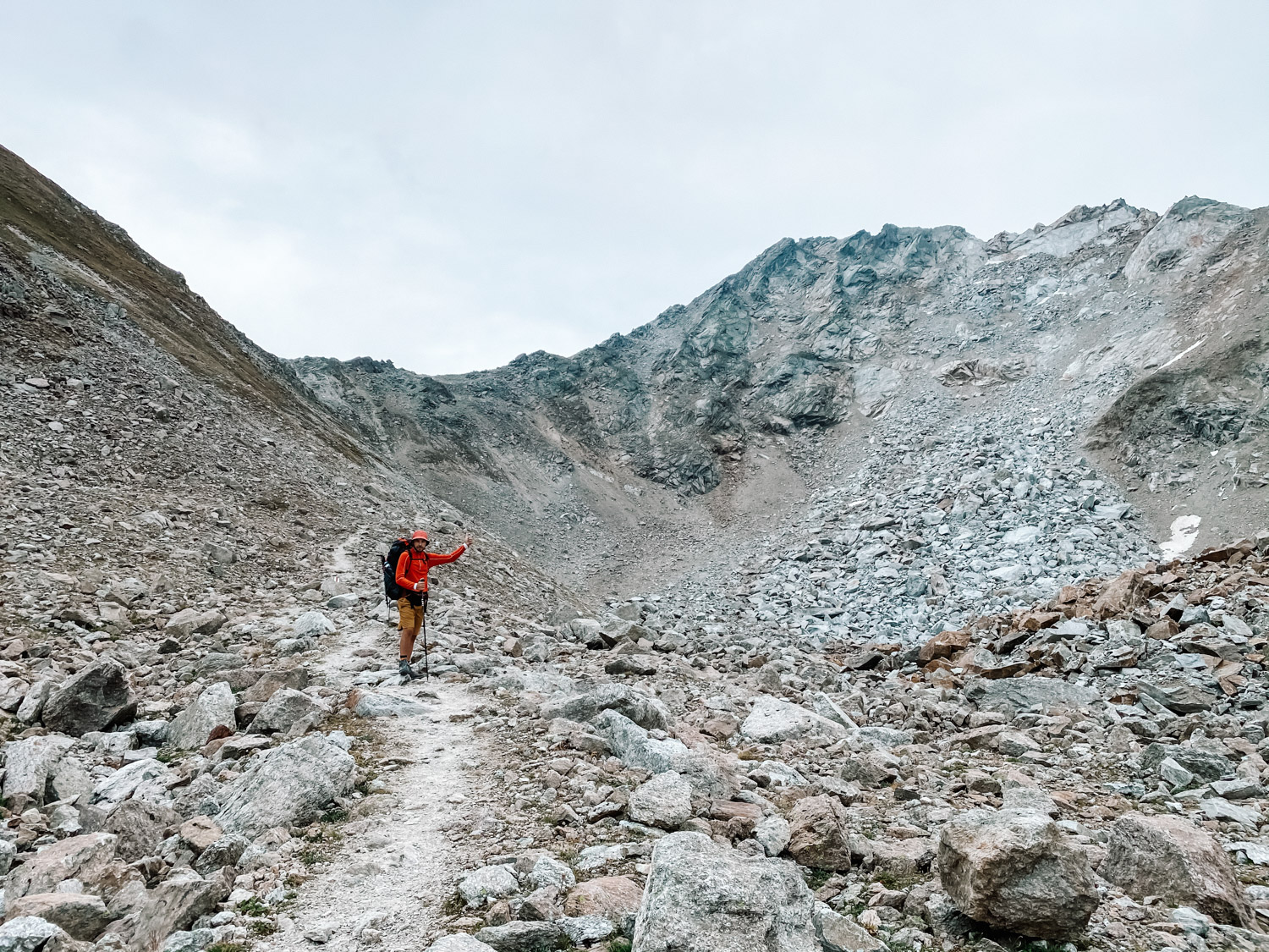
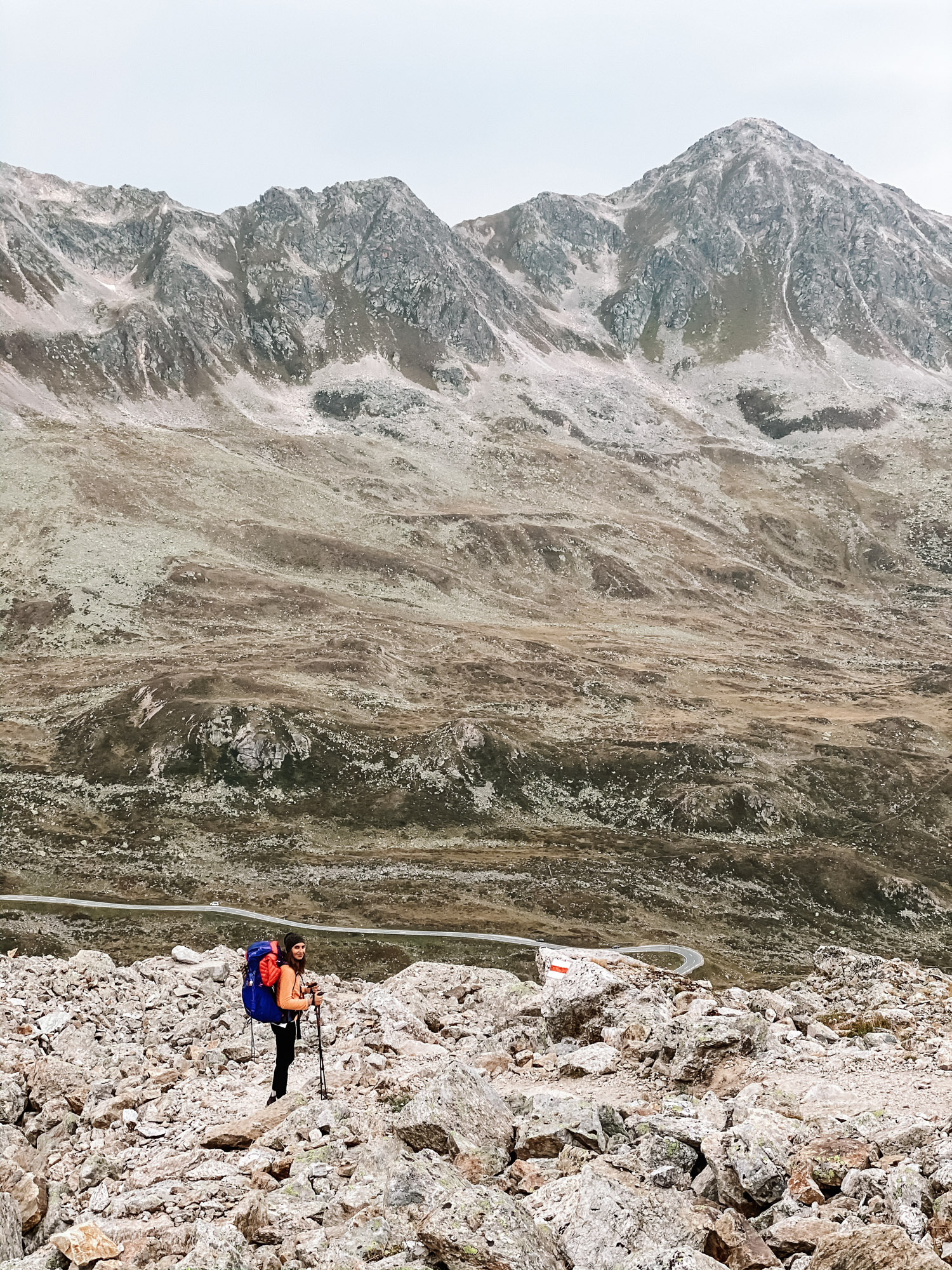
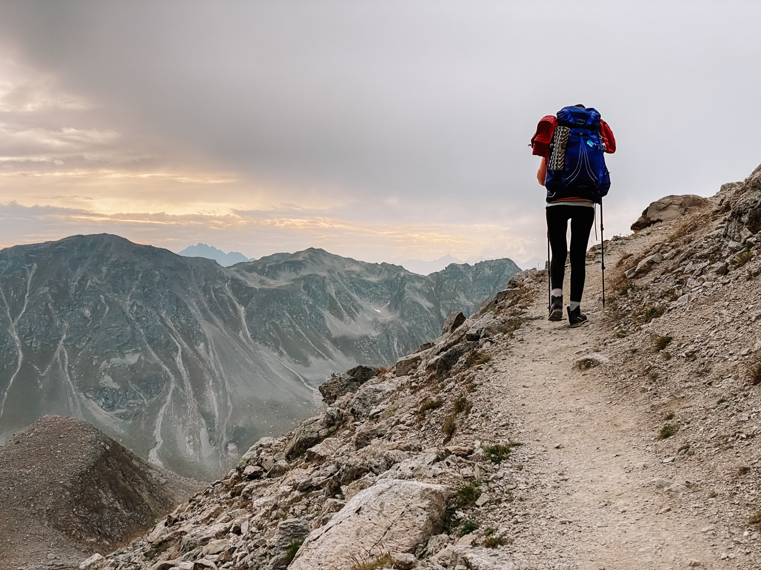
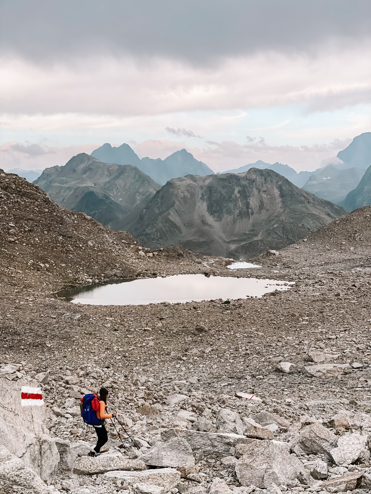
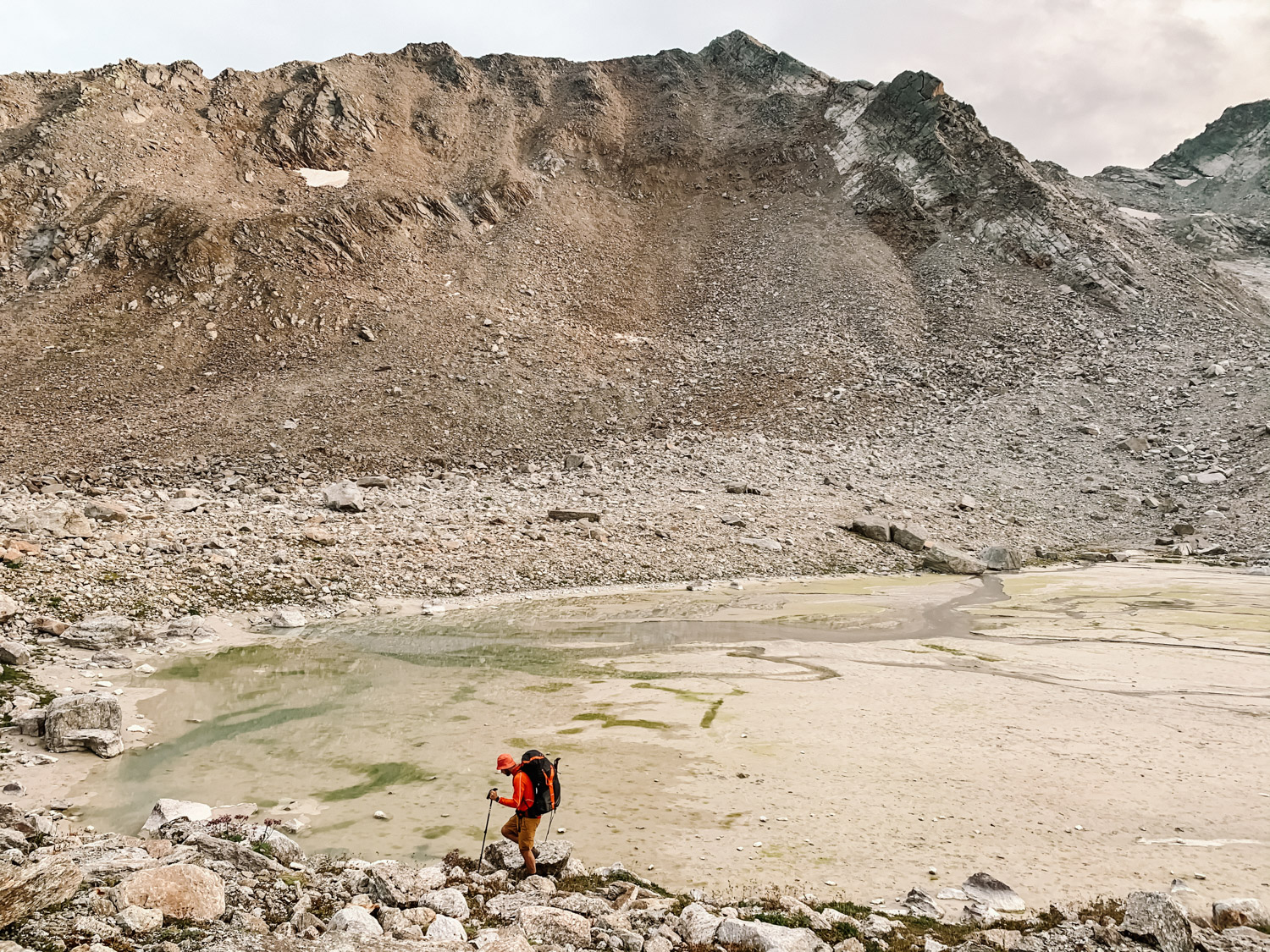
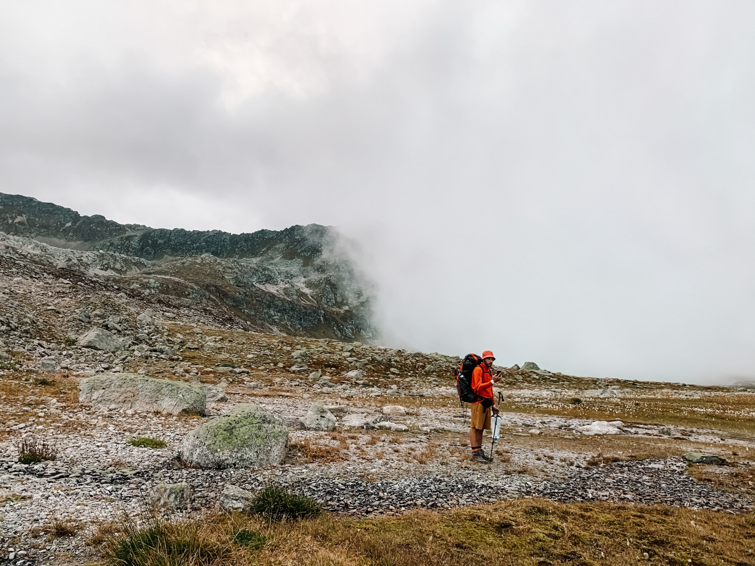
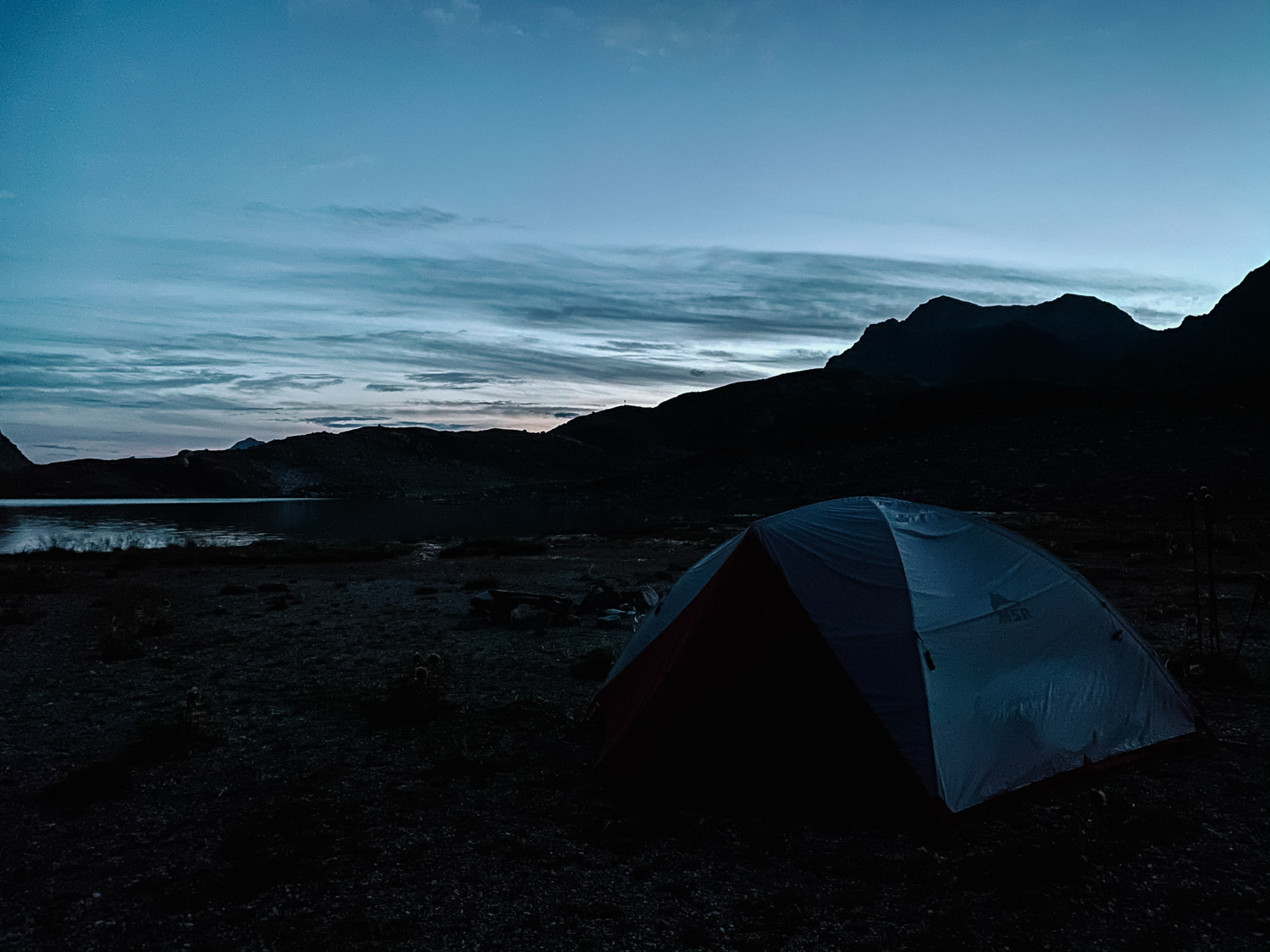
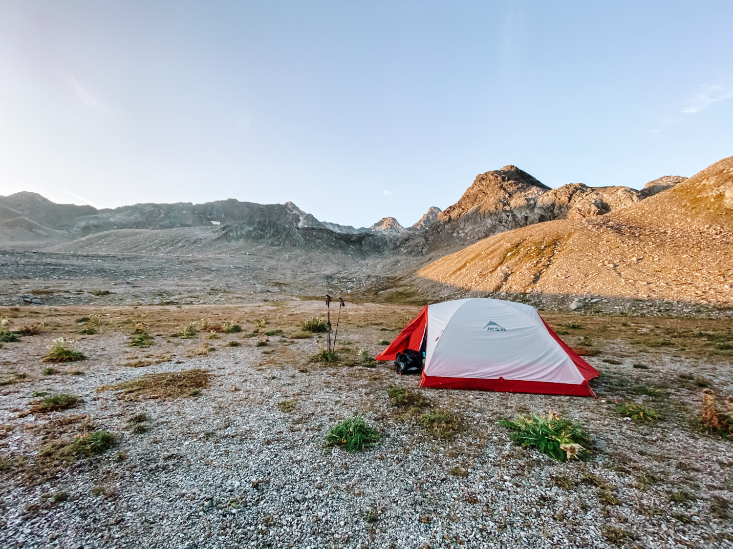
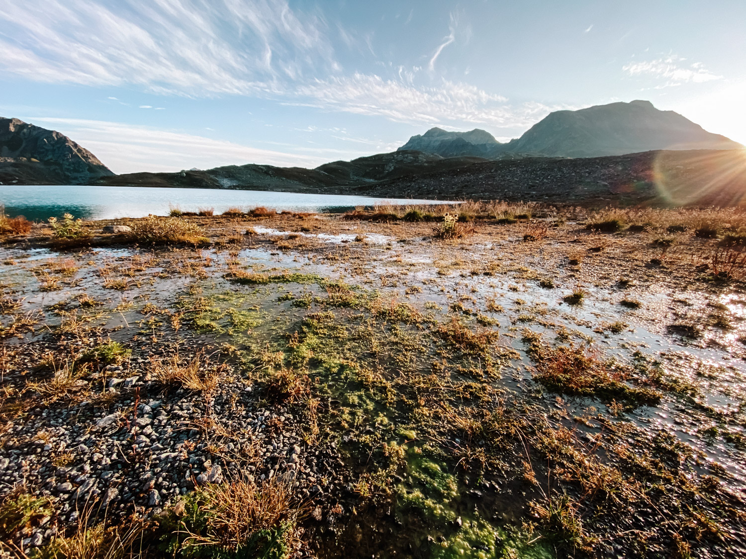
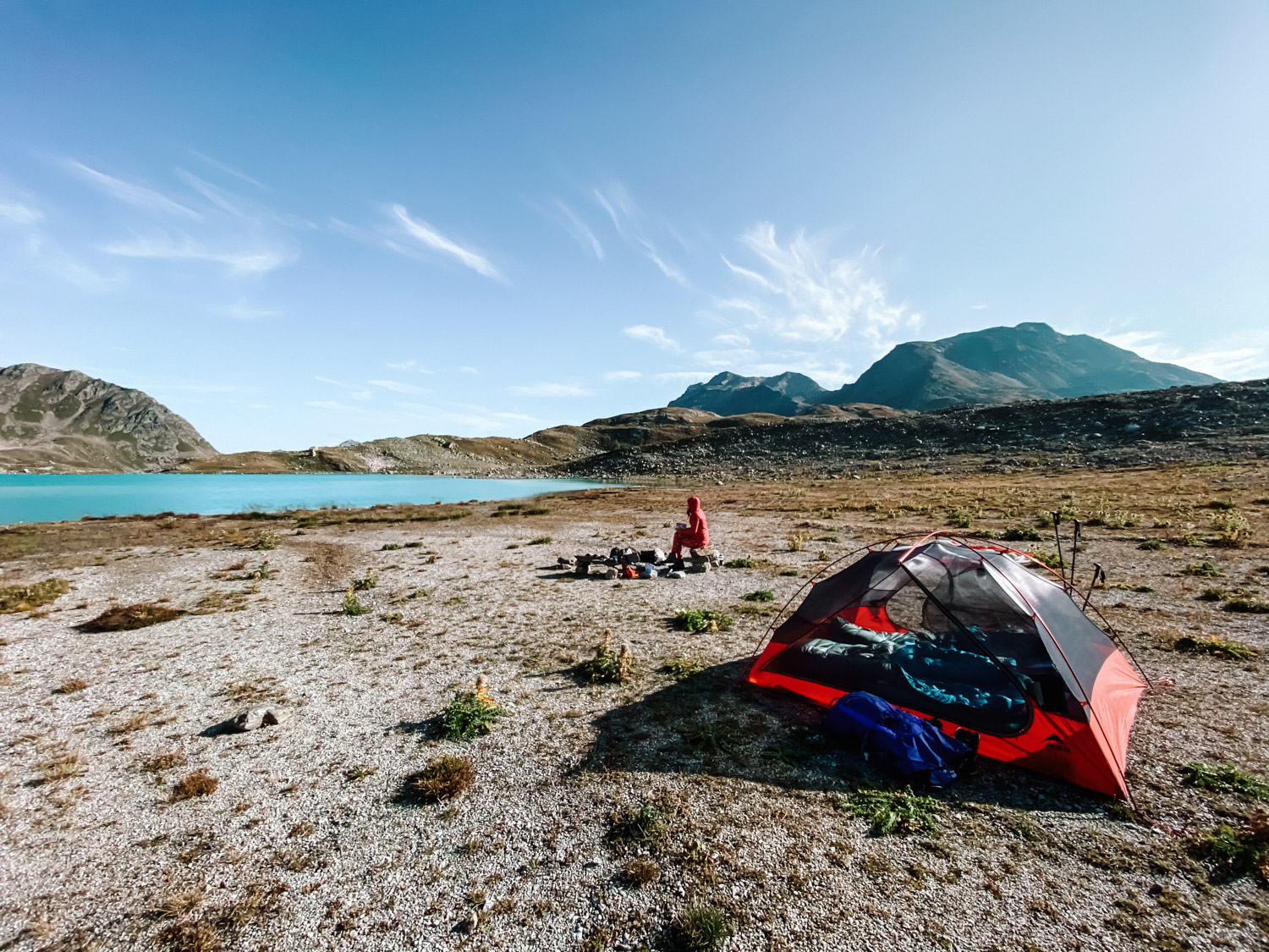
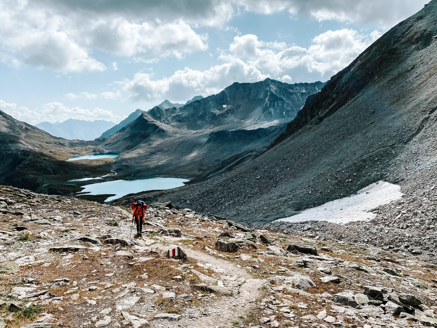
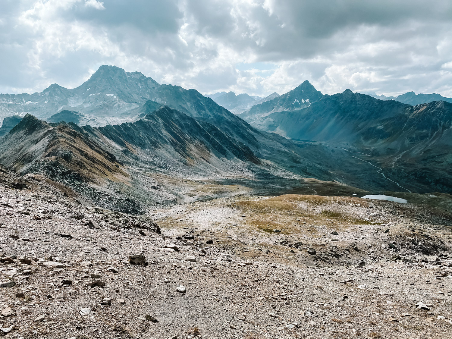
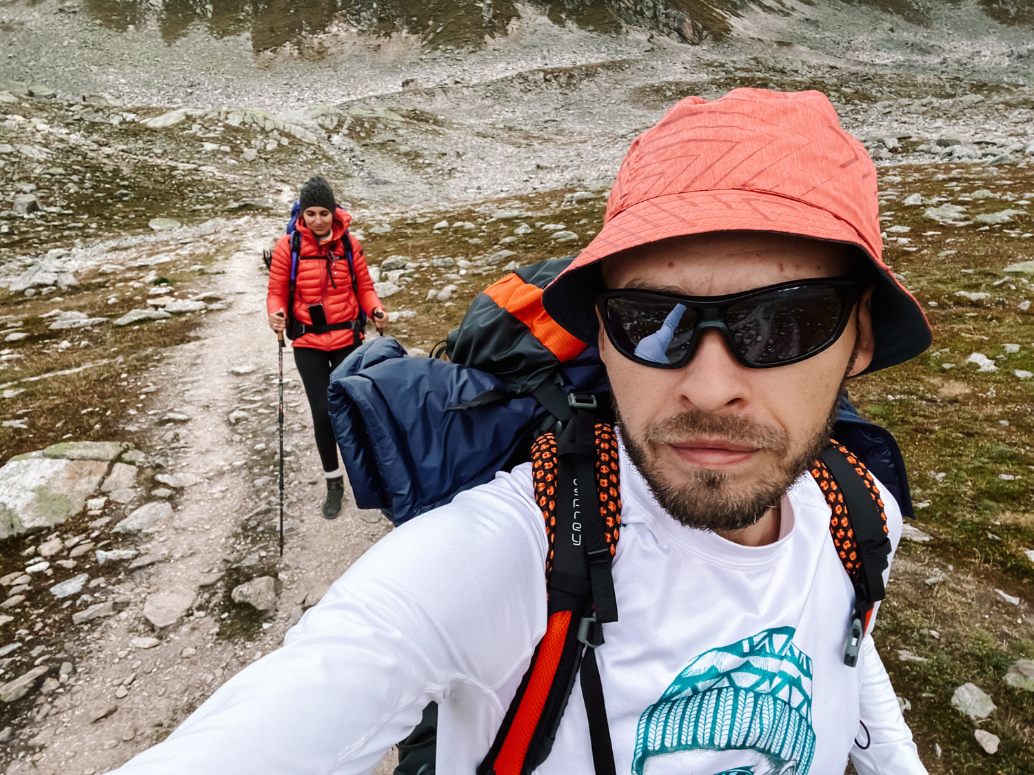
The hike starts and ends in the Wägerhus Davos bus stop and the whole loop is 12 km long. After ascending the first couple meters on the route, you can go left or right, completing the loop in both ways – we went on the right side – but I guess any direction is just as beautiful. On the right side, the trail is steep all the way to Winterlücke (2.787m, 9.143ft.), pushing a total of 500m of incline from the bus station. Once at Winterlücke, we went down towards Jöriseen lakes, scouting a good camp site where to pitch the tent. The weather was changing fast and in 5 minutes everything went from daylight and bright to fog and clouds. It took us one hour moving time up to Winterlücke and 50 minutes moving time down to the lake (without breaks for resting and photos).
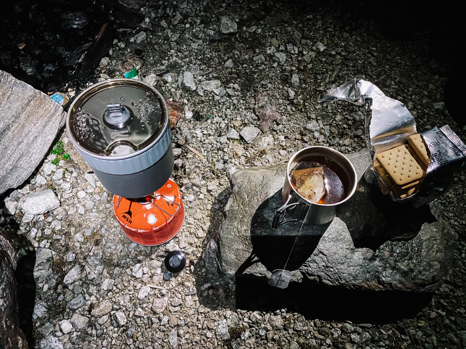
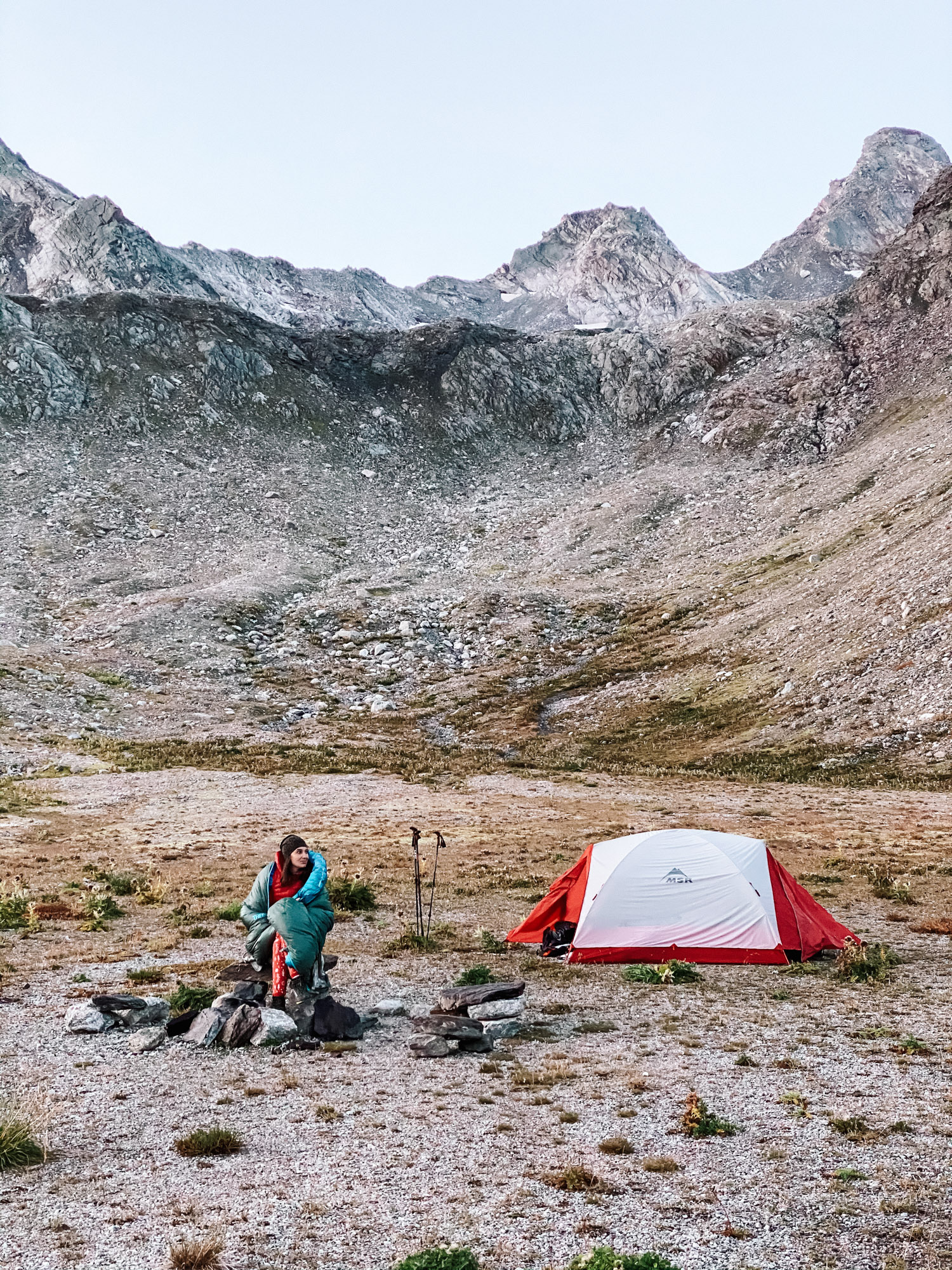
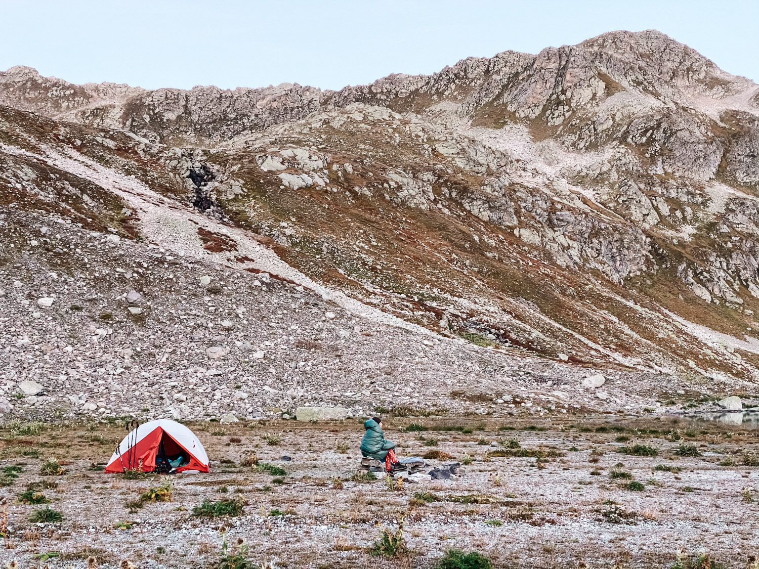
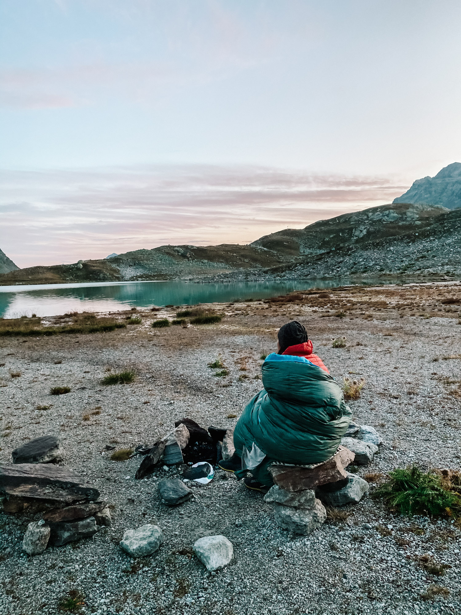
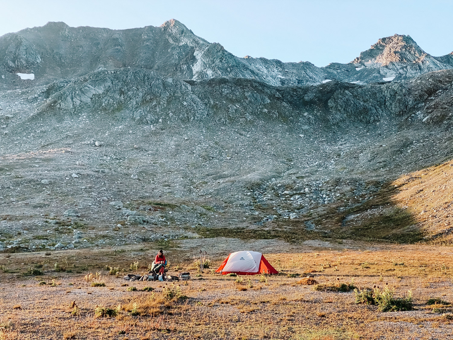
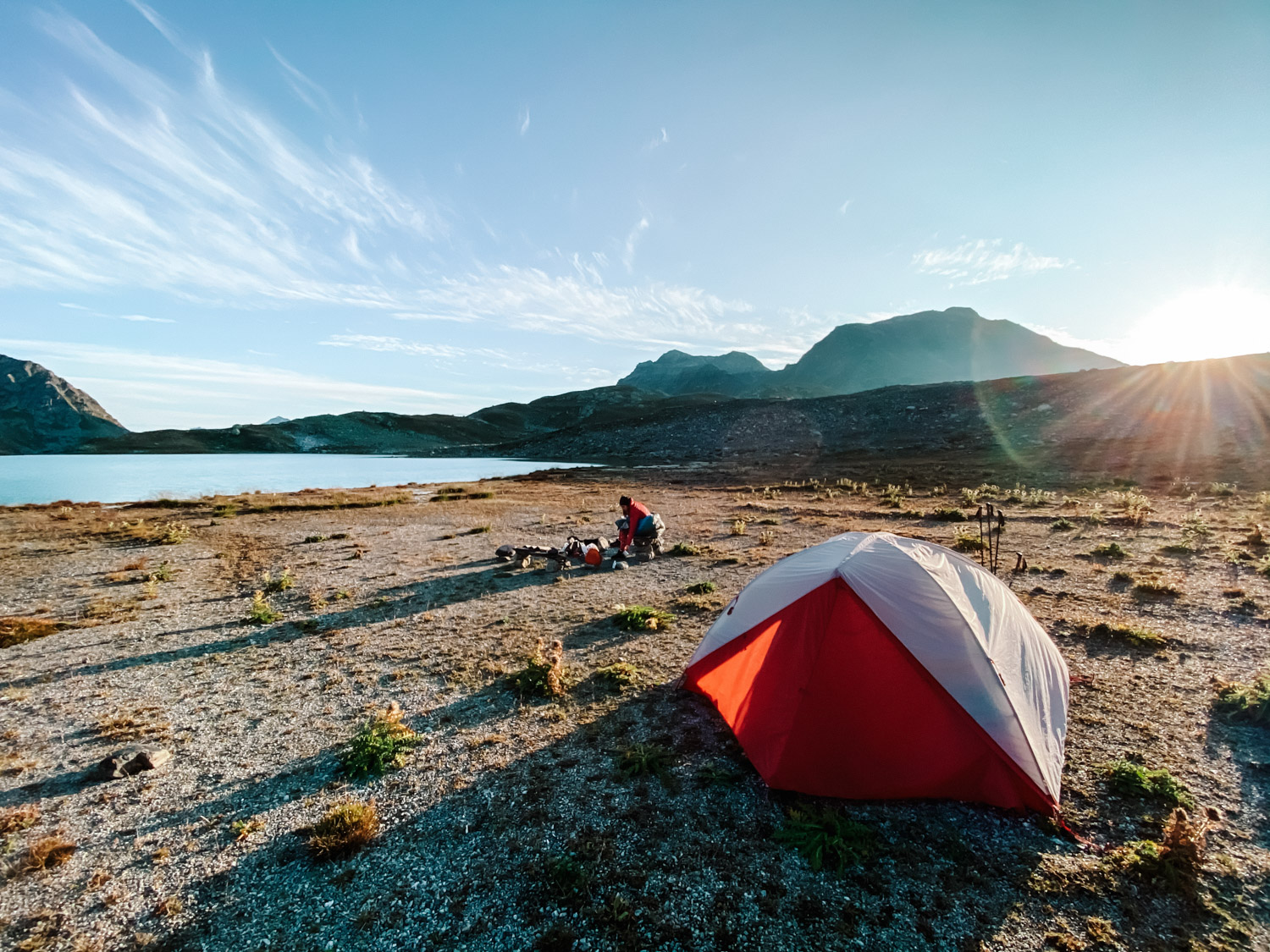
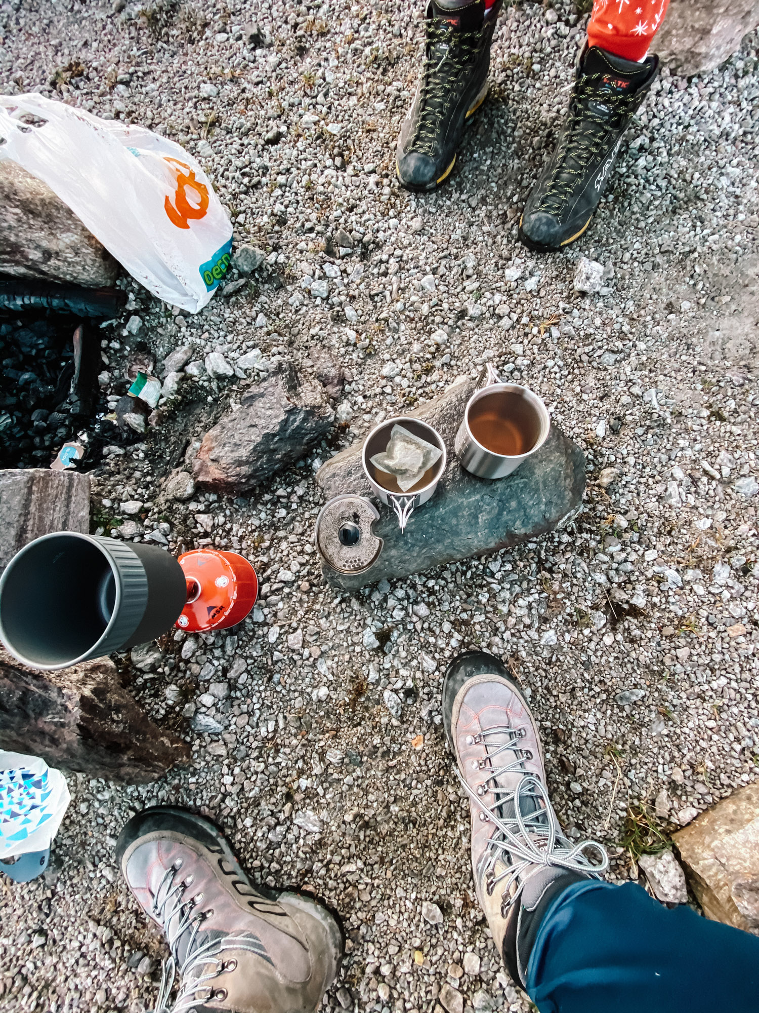
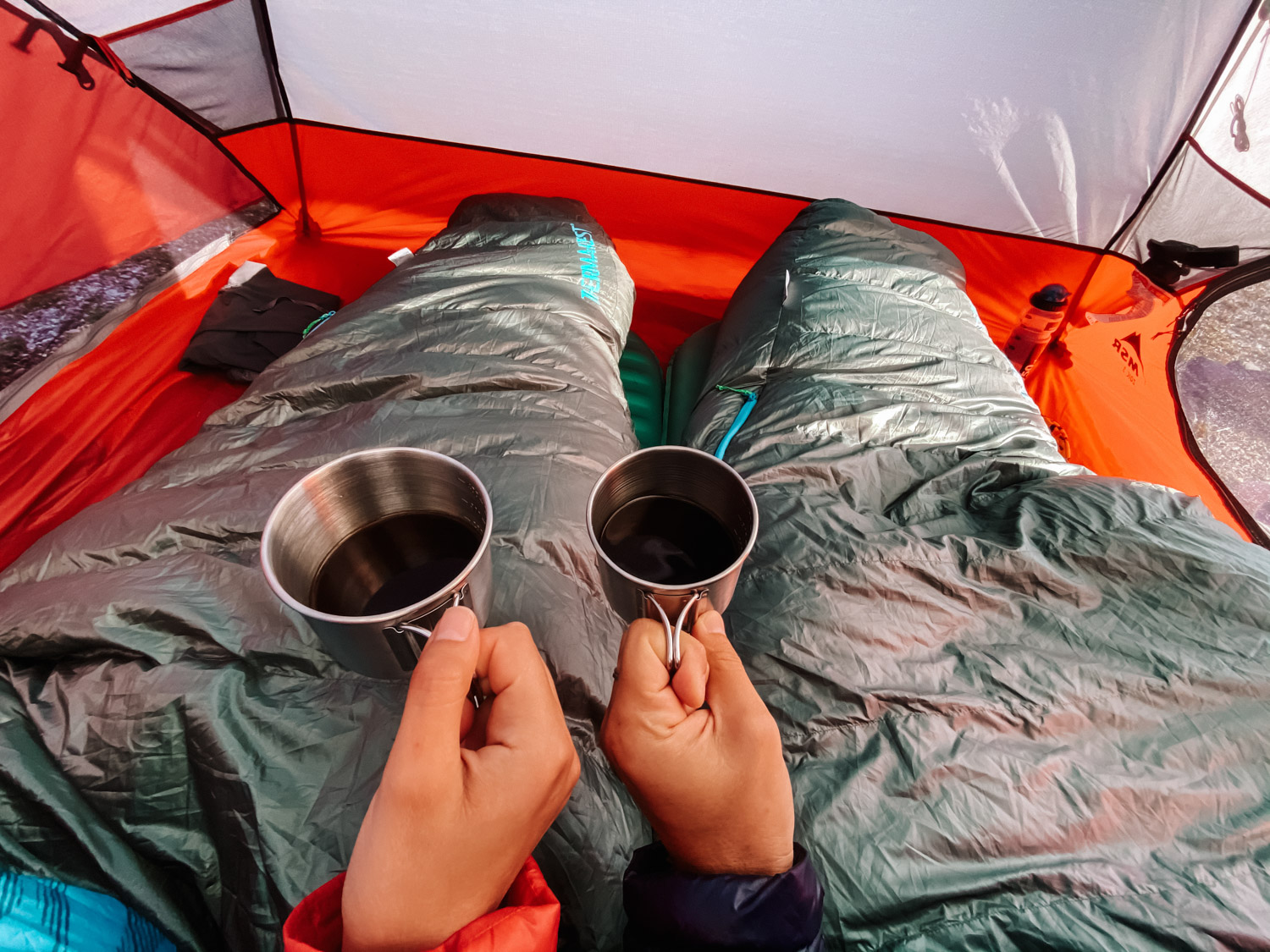
After installing the tent, we cooked dinner and had a warm cup of tea, as you will see below. Slowly, the clouds where shattering and we managed to see some bright stars across the sky. Temperature was dropping fast, and during the night we had around 2-3 degrees Celsius (37F.) It’s important to have good gear so you enjoy a comfortable sleep during the night. There is nothing worse than being cold in a such beautiful place. We used our backcamping gear for this trip, that you can see here and we were actually quite warm during the night.
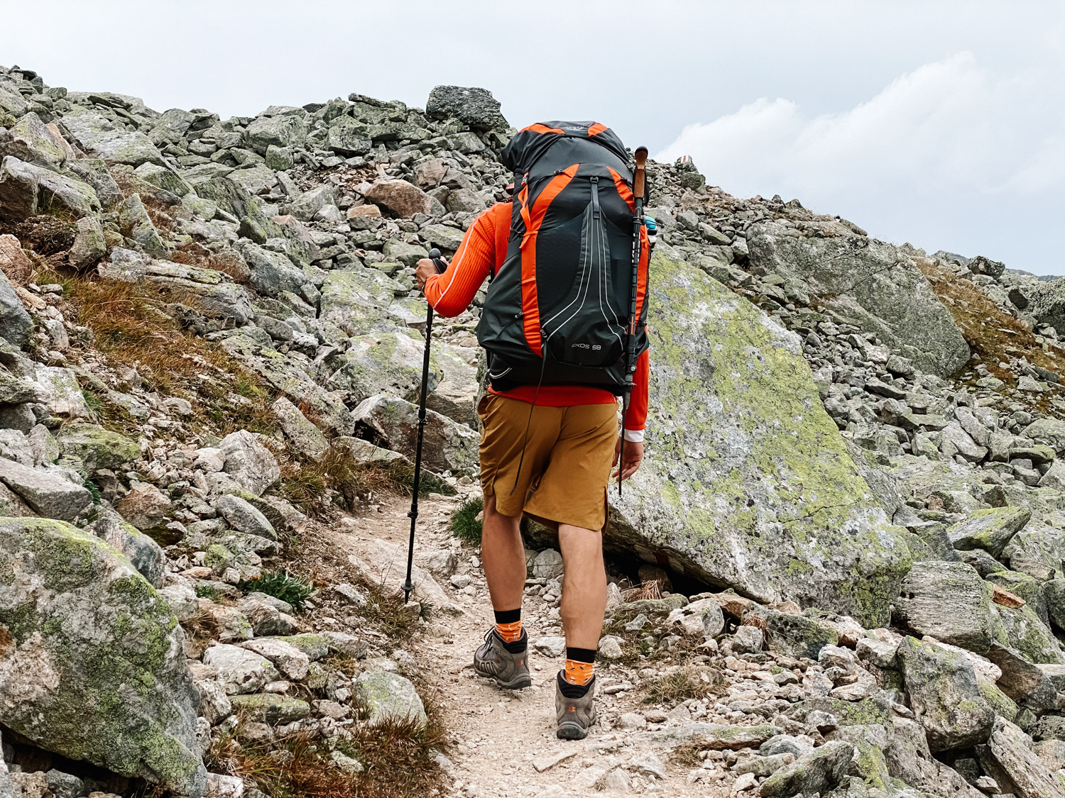
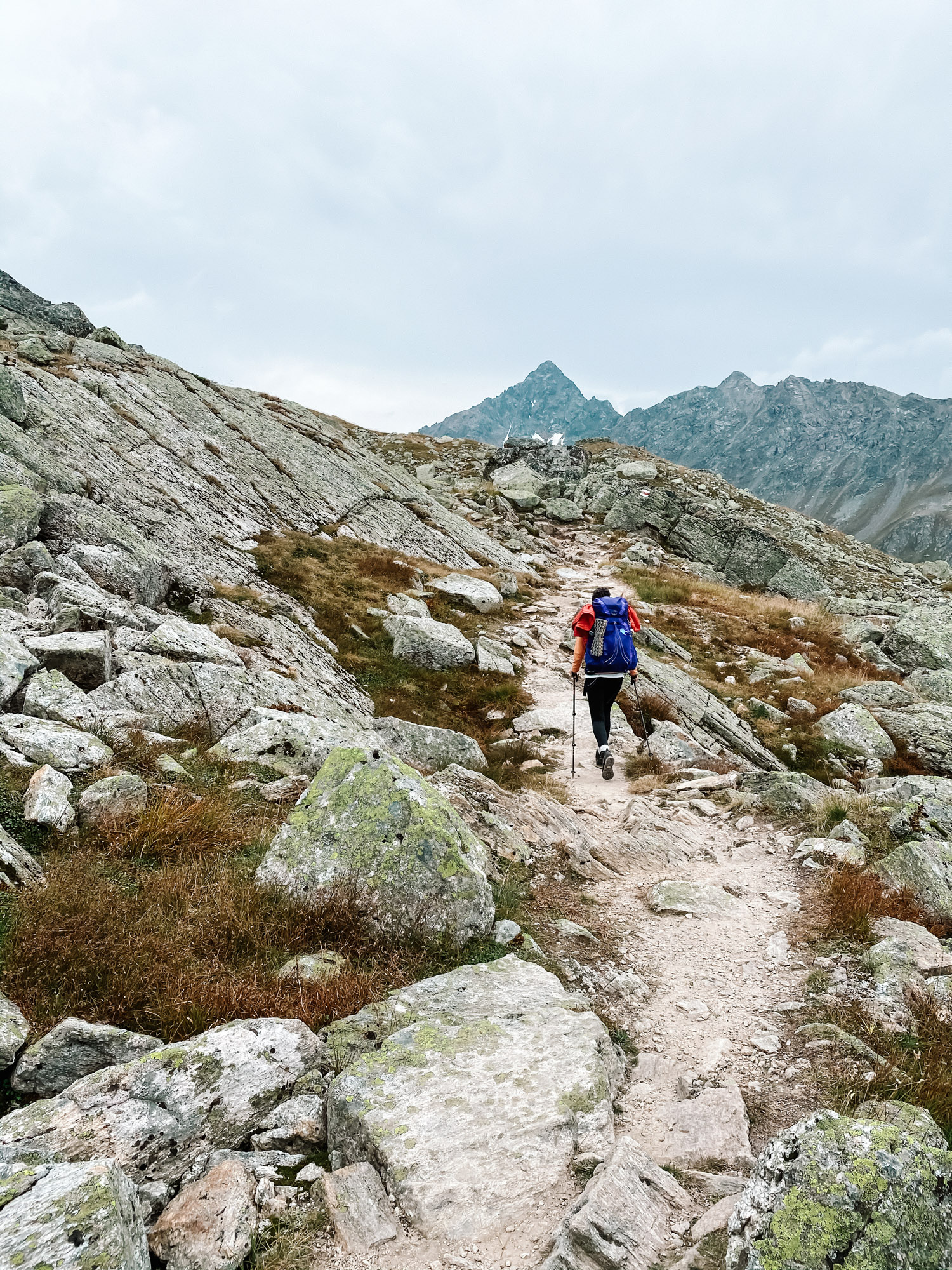
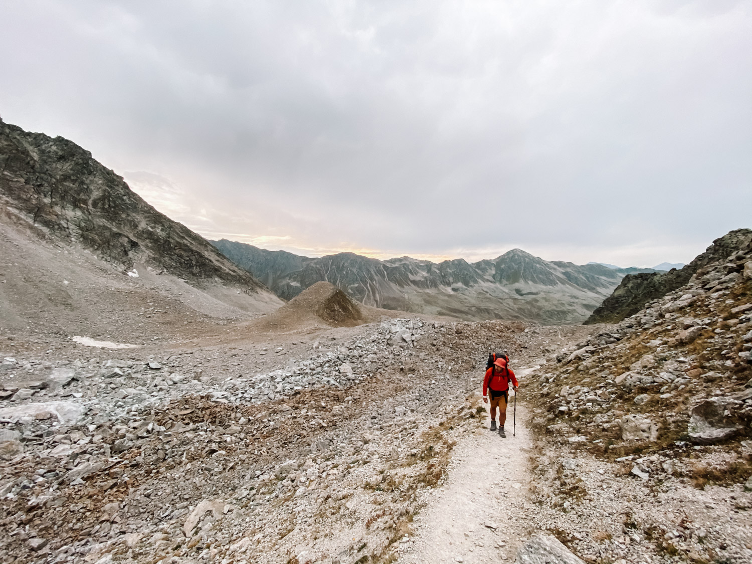
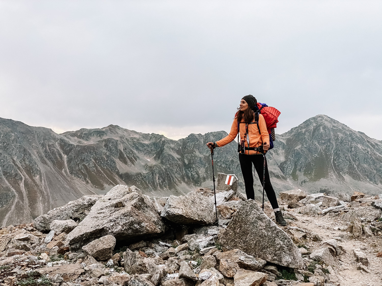
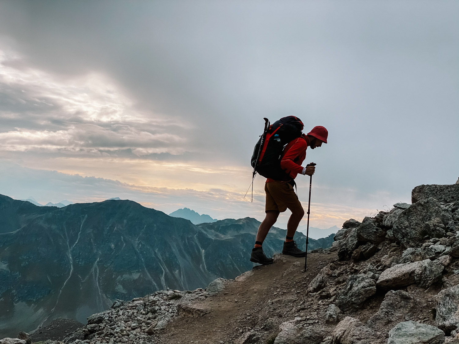
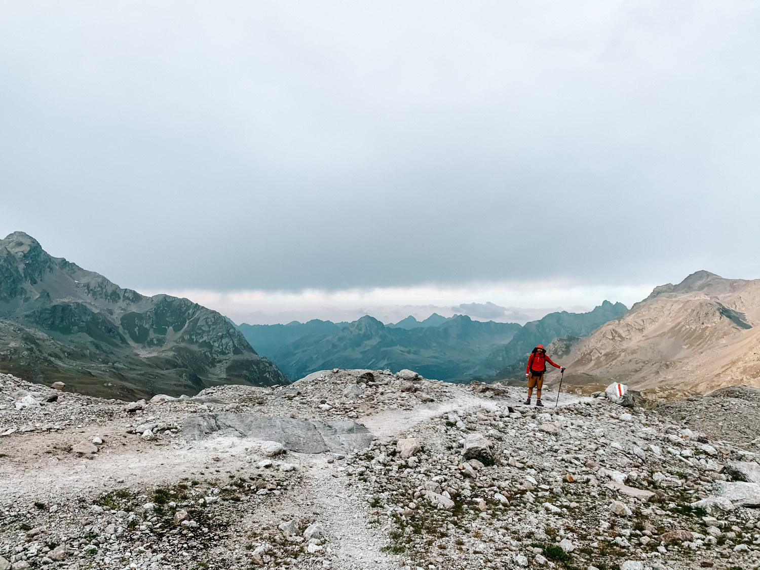
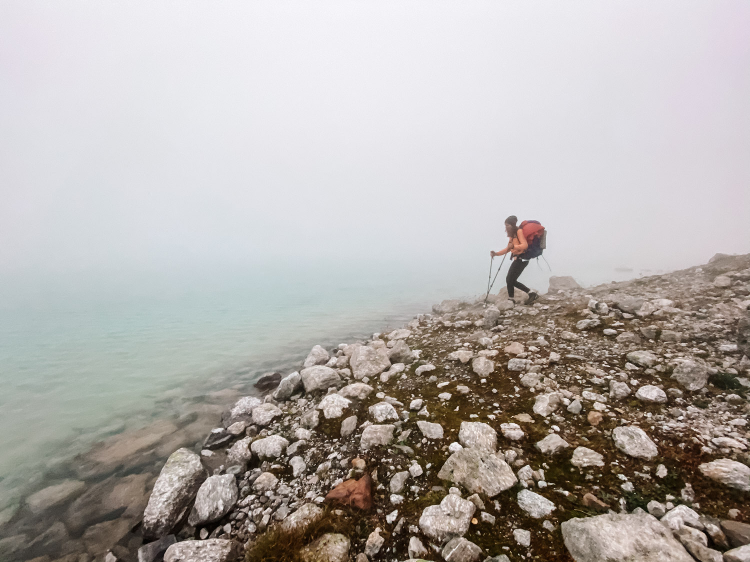
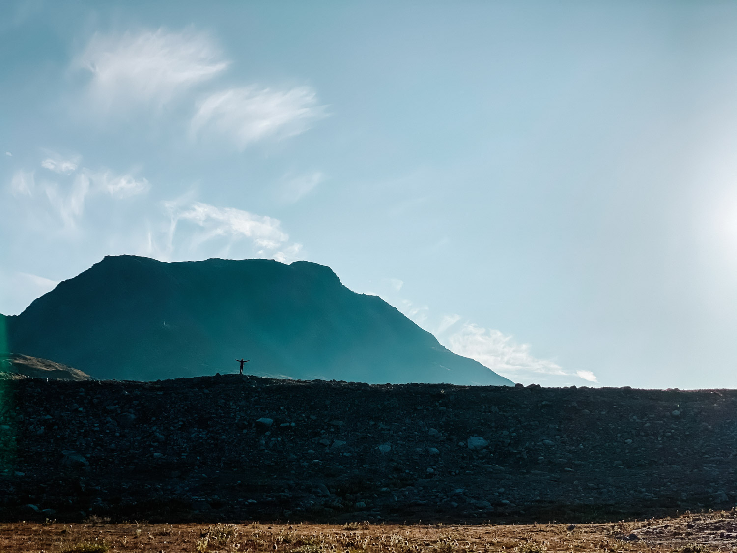
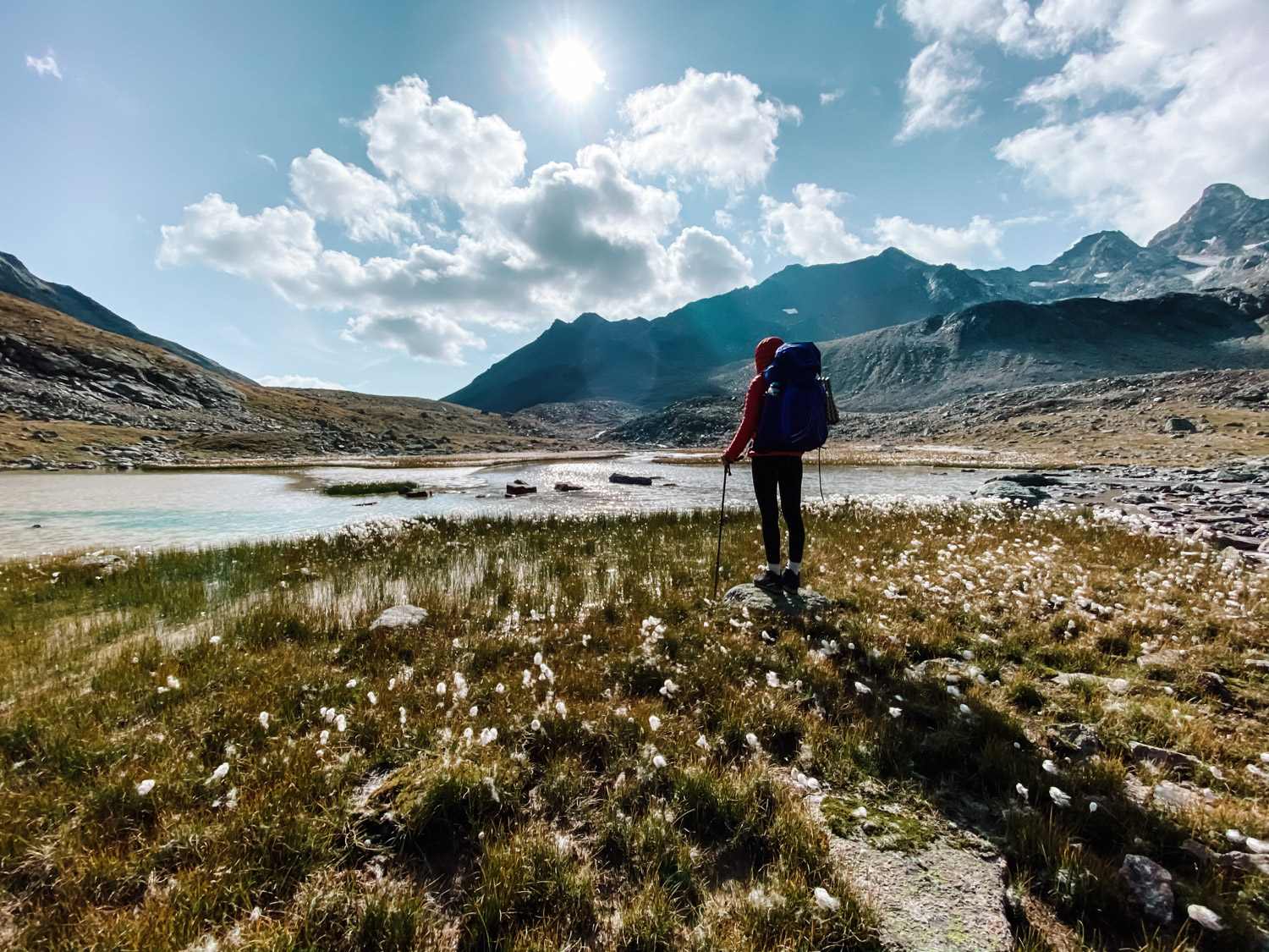
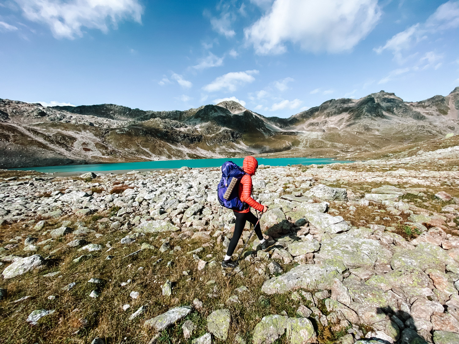
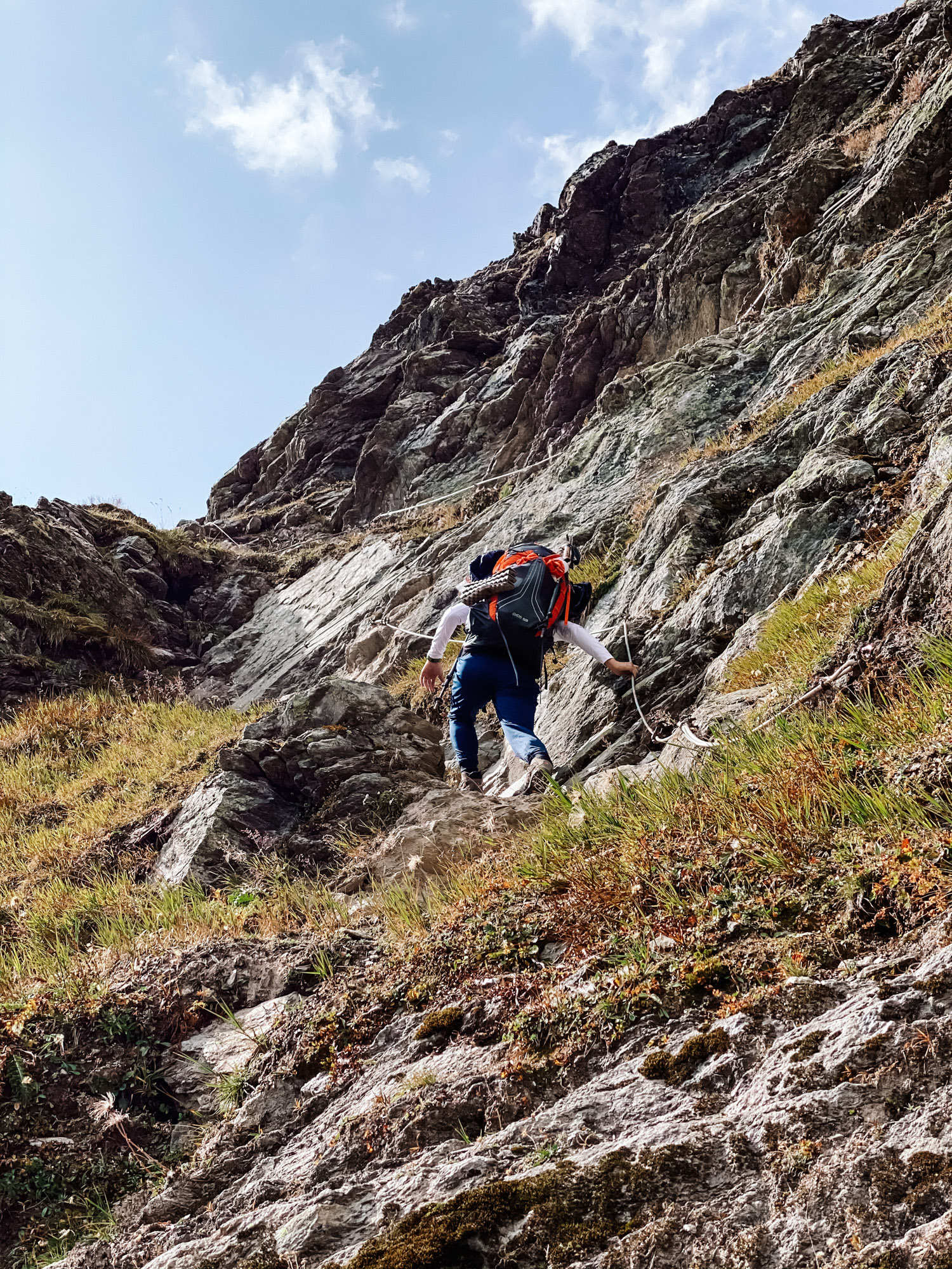
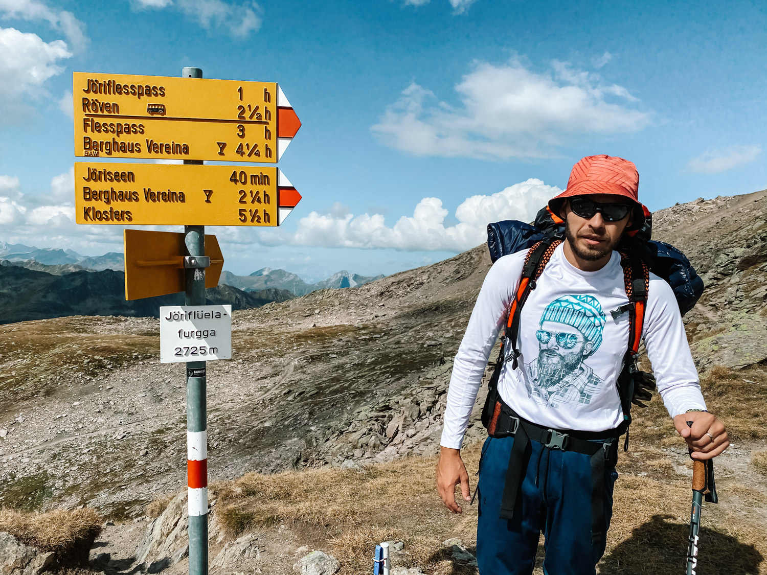
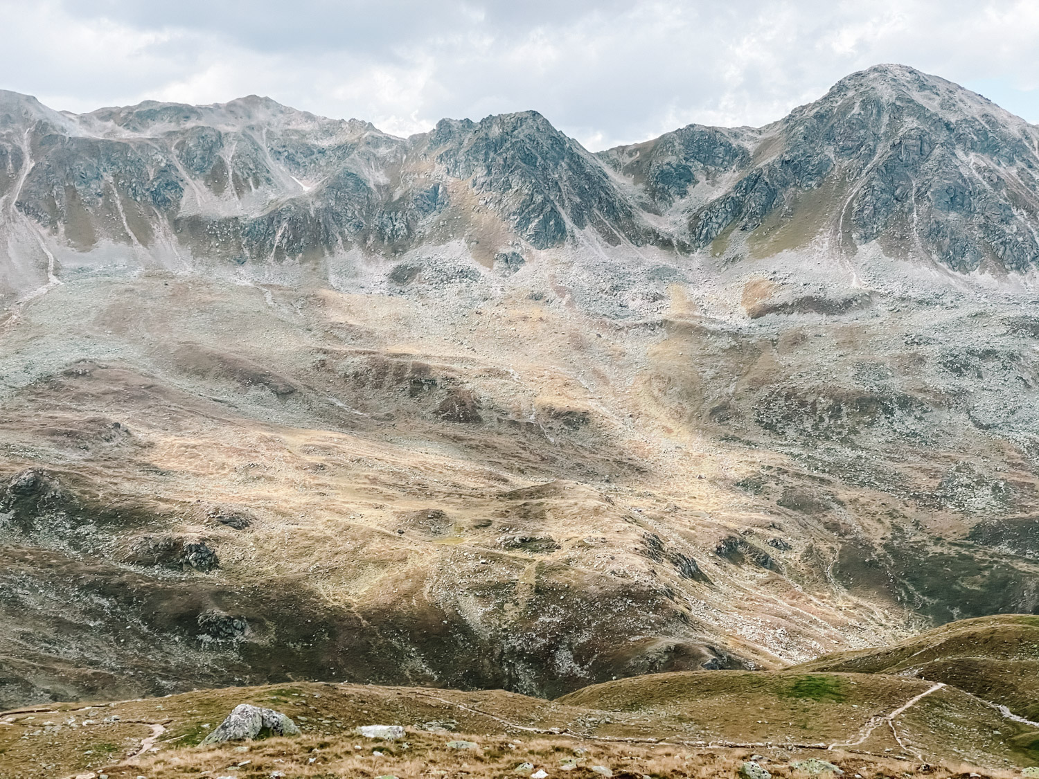
The next morning we woke up and had brekfast and a nice cup of coffee. Then, we continued the hike up to Jörifluelafurgga (2.725m, 8.940ft.), leaving behind the lakes with crystal clear water and a colorful paradise. It is the last part of the ascent, before the final descent back to Wägerhus. Once at Jörifluelafurgga, we went another 15 minutes towards Jörihorn summit (2.845m, 9.333ft.), on an unmarked path. It’s a bonus peak hike, a bit slippery and steep towards the end and not recommended if you have fear of heights.
Conclusion
The hike is safe, not exposed, marked red and white all the way, suitable for everyone in good physical condition (except the Jörihorn detour, that requires more technical capabilities, rock climbing, exposure on both sides – don’t try this if not comfortable or have fear of heights etc).