
Summary hike details:
- Start location: Seceda mountain peak, 2.519m (8.264 feet)
- Destination: Sass Rigais and retour
- Ascent / descent: 723m / 2373ft.
- Distance: 12 km
- Duration: 4-5 hours (snack and photo breaks included)
- Technical and physical requirements: Medium
- Season: June – October
Introduction
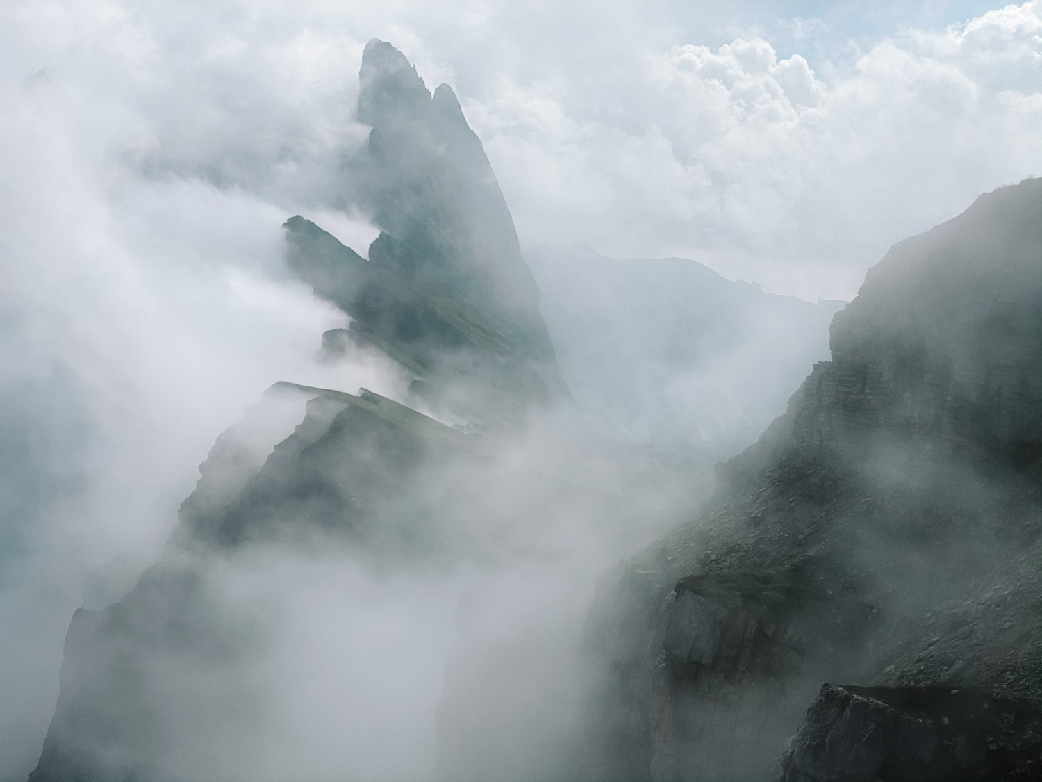
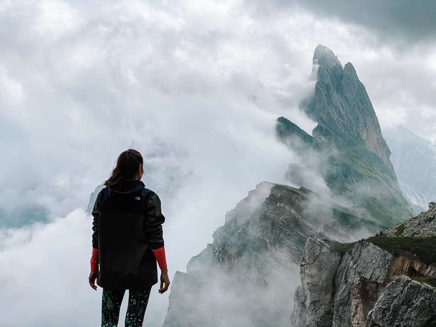
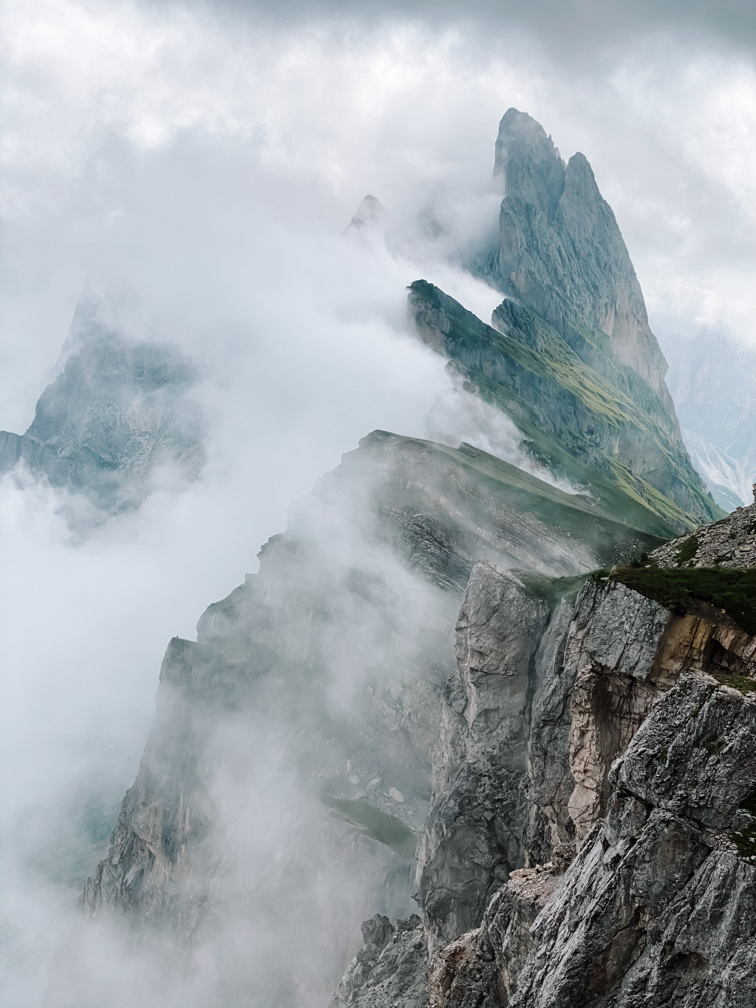
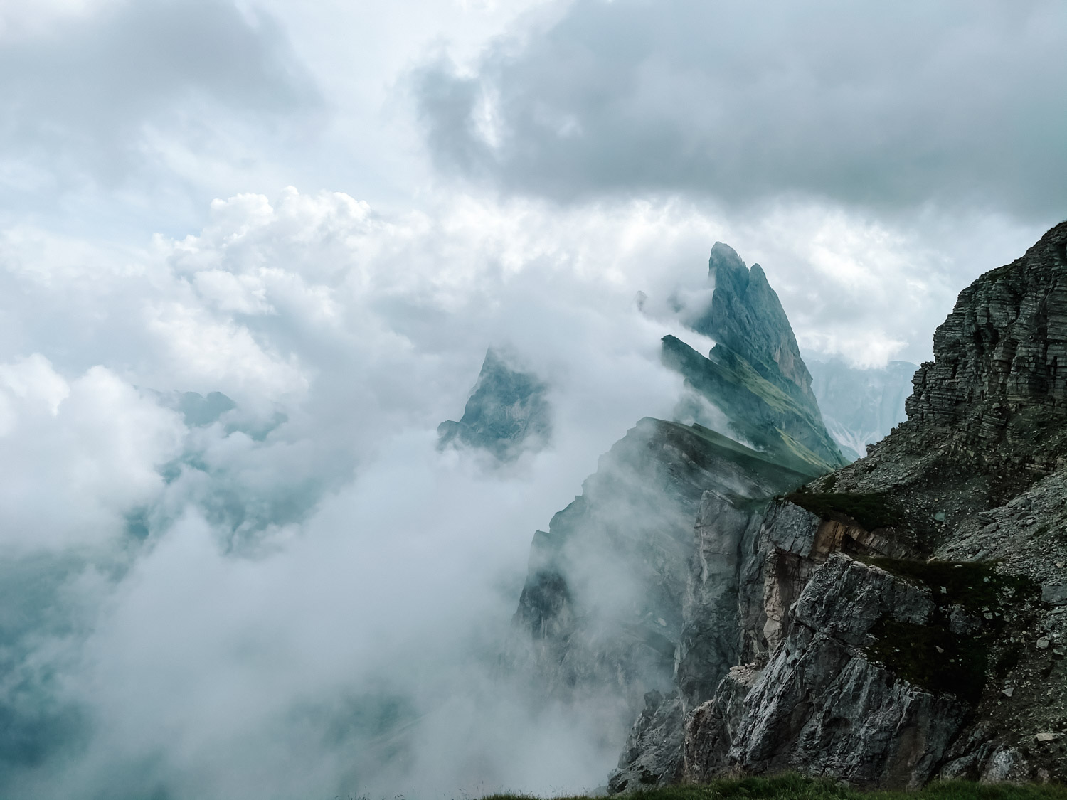
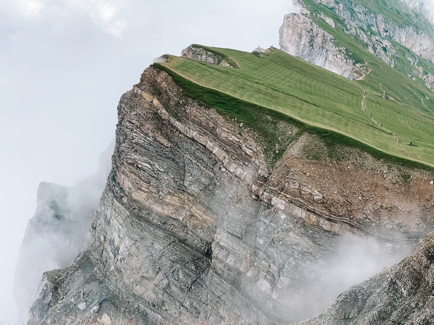
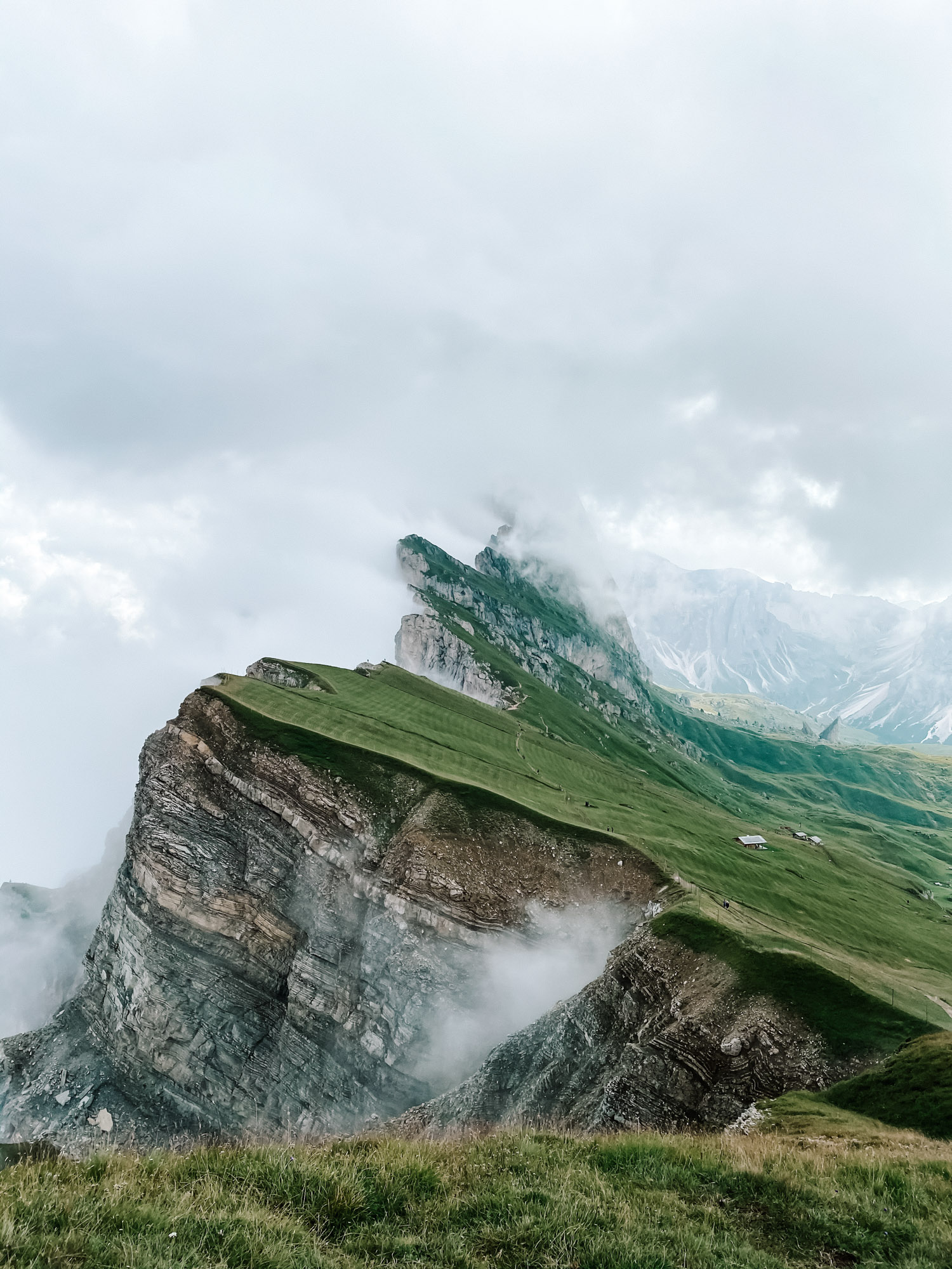
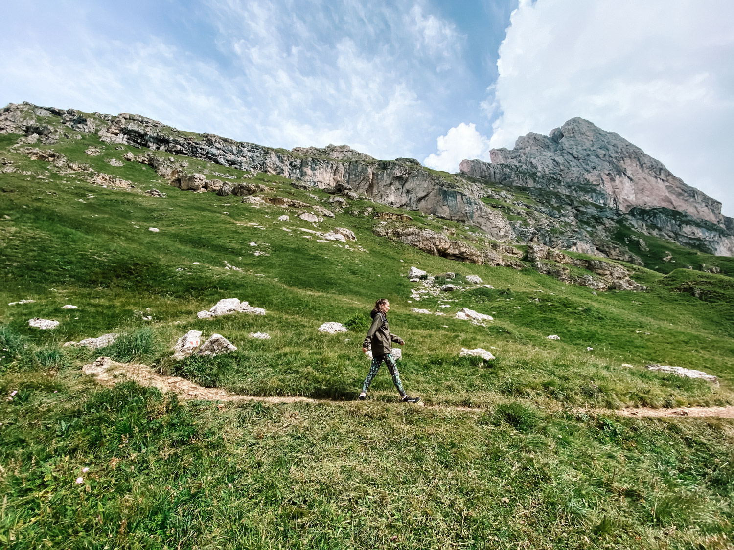
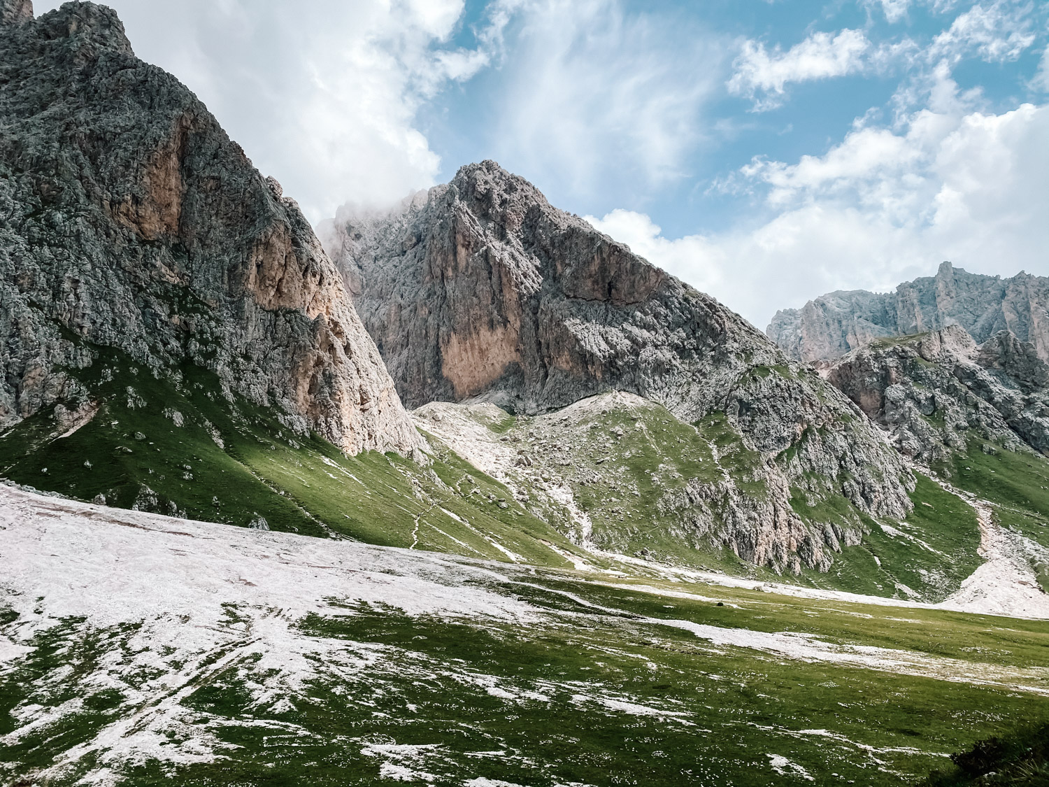
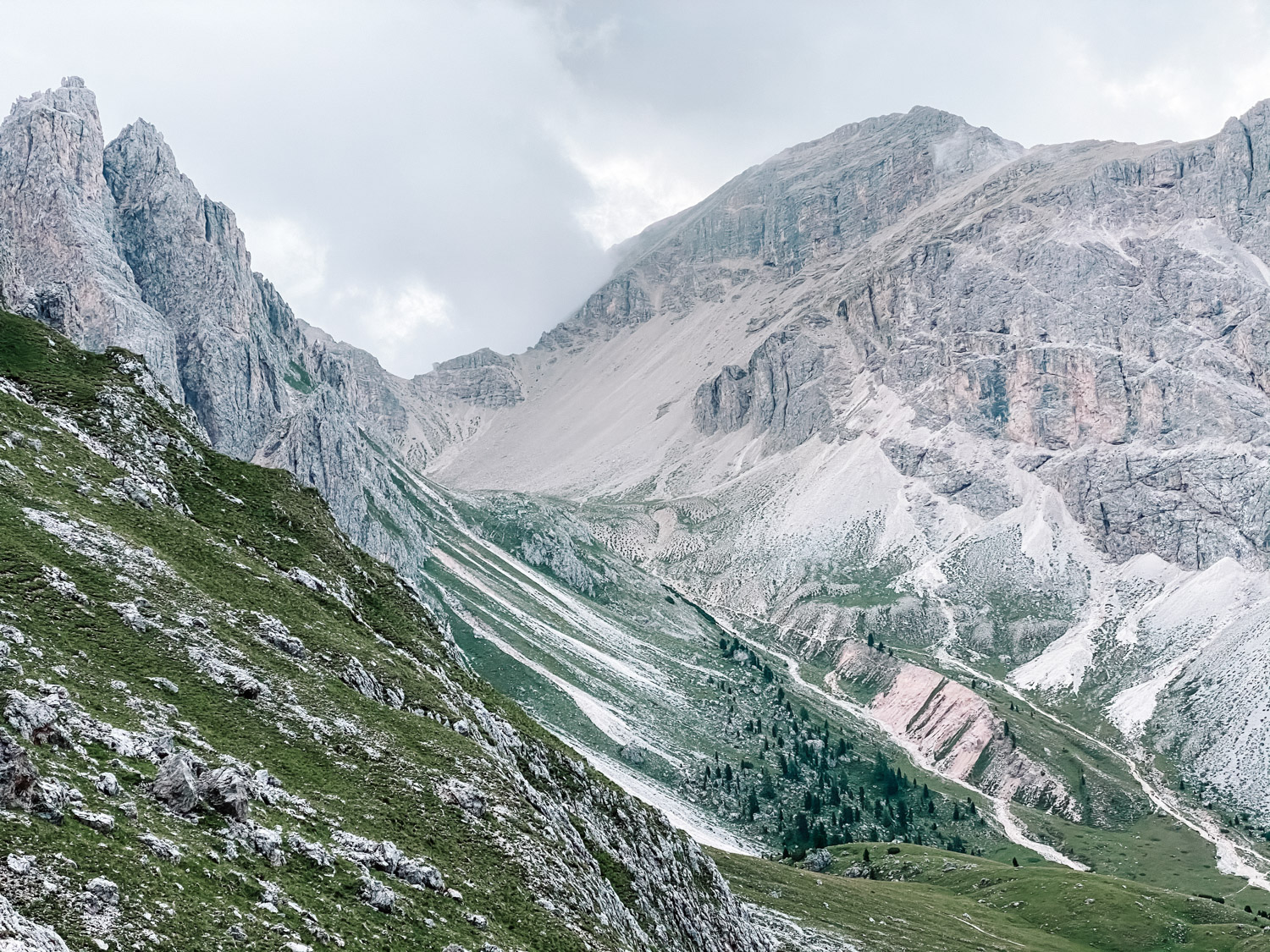
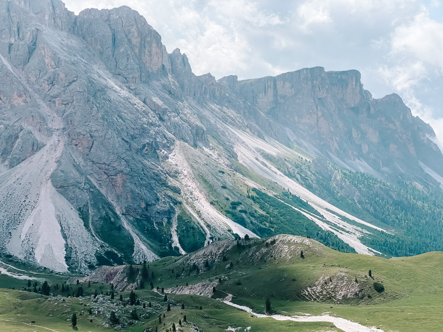
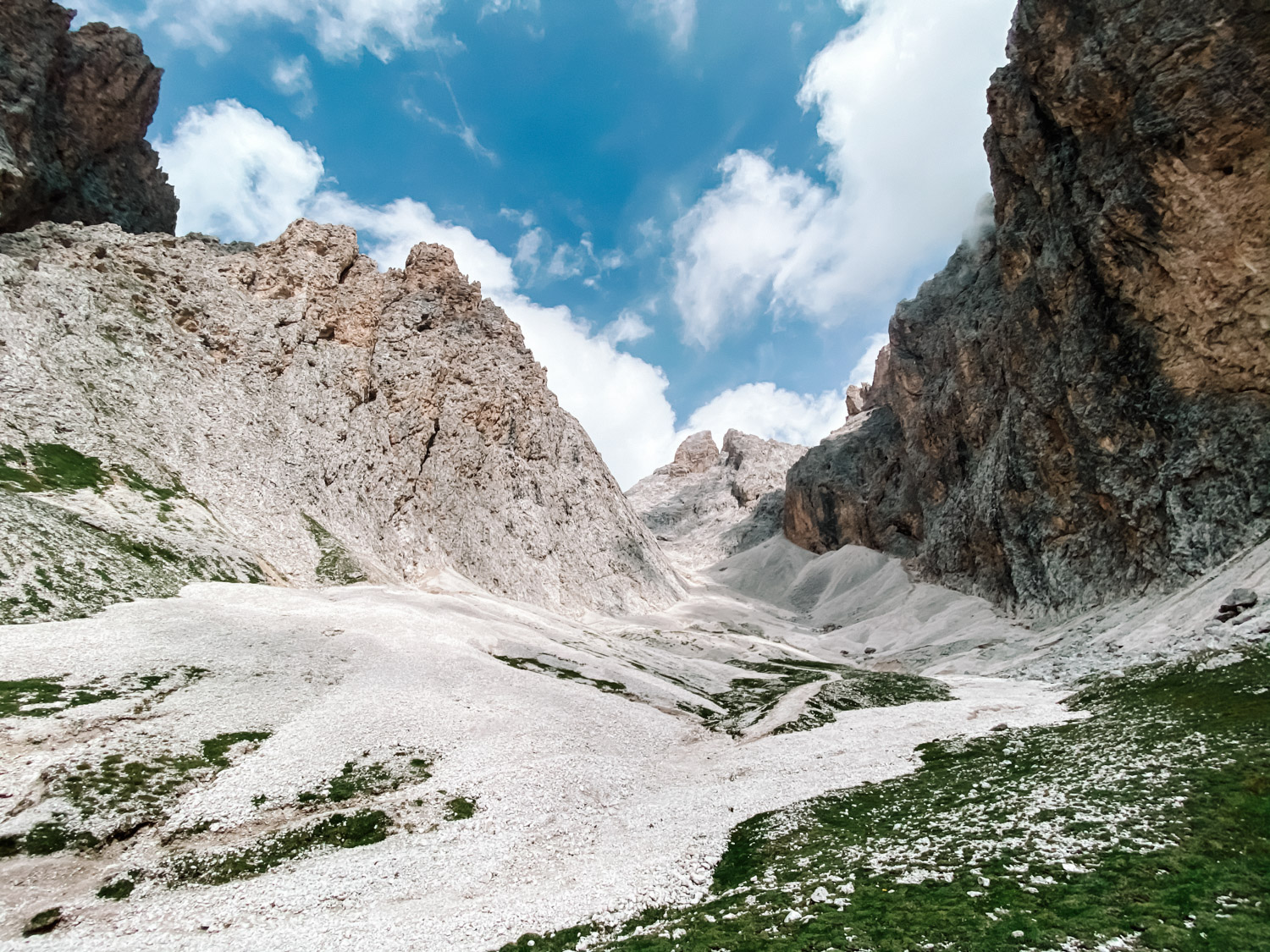
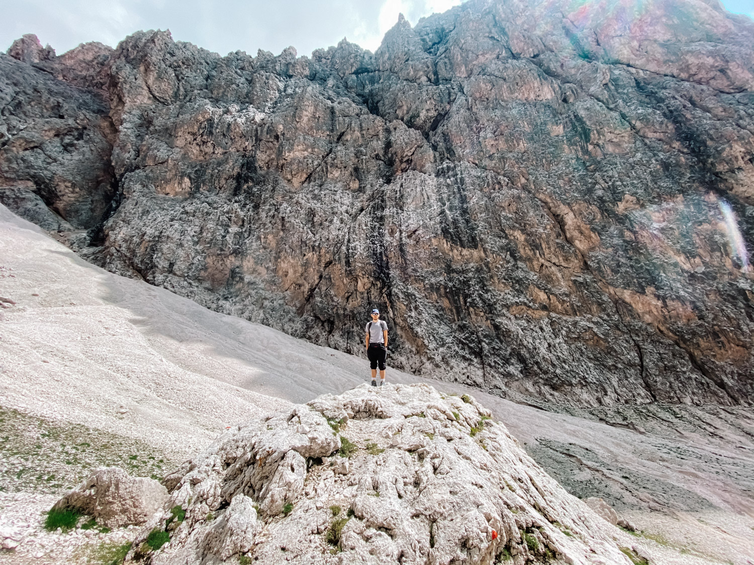
We started our two week Italy tour (you can see here The Ultimate Italy Travel Guide) by visiting Dolomiti and we choose one of the must do hikes, on mount Seceda. Seceda mountain peak is at 2.519m (8.264 feet), well above Ortisei, St. Christina and Selva in Val Gardena.
Seceda hike details
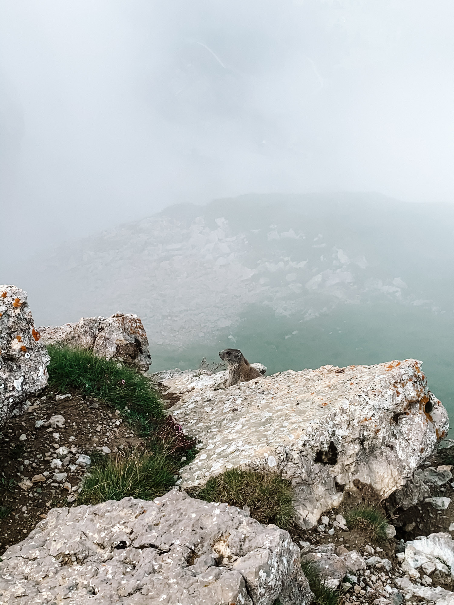
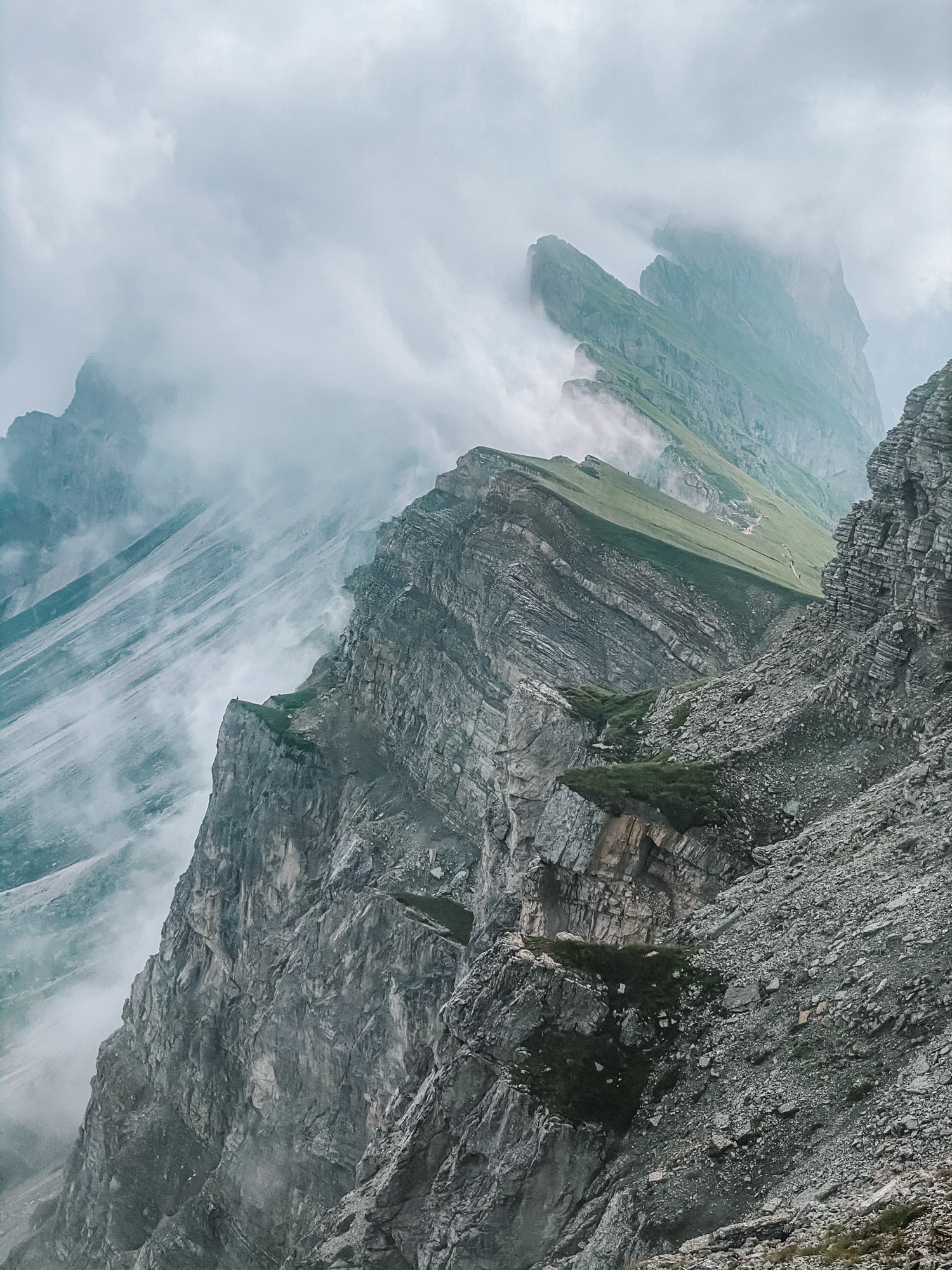
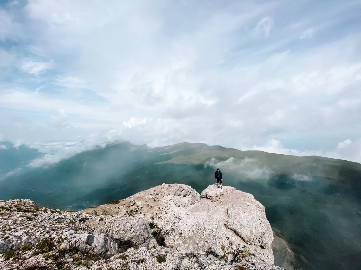
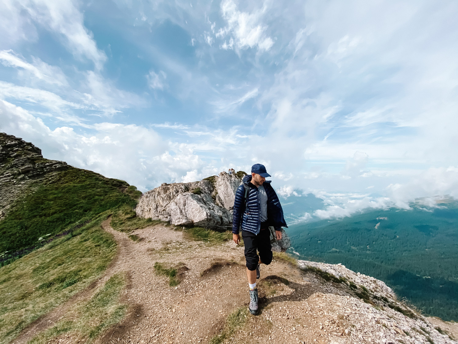
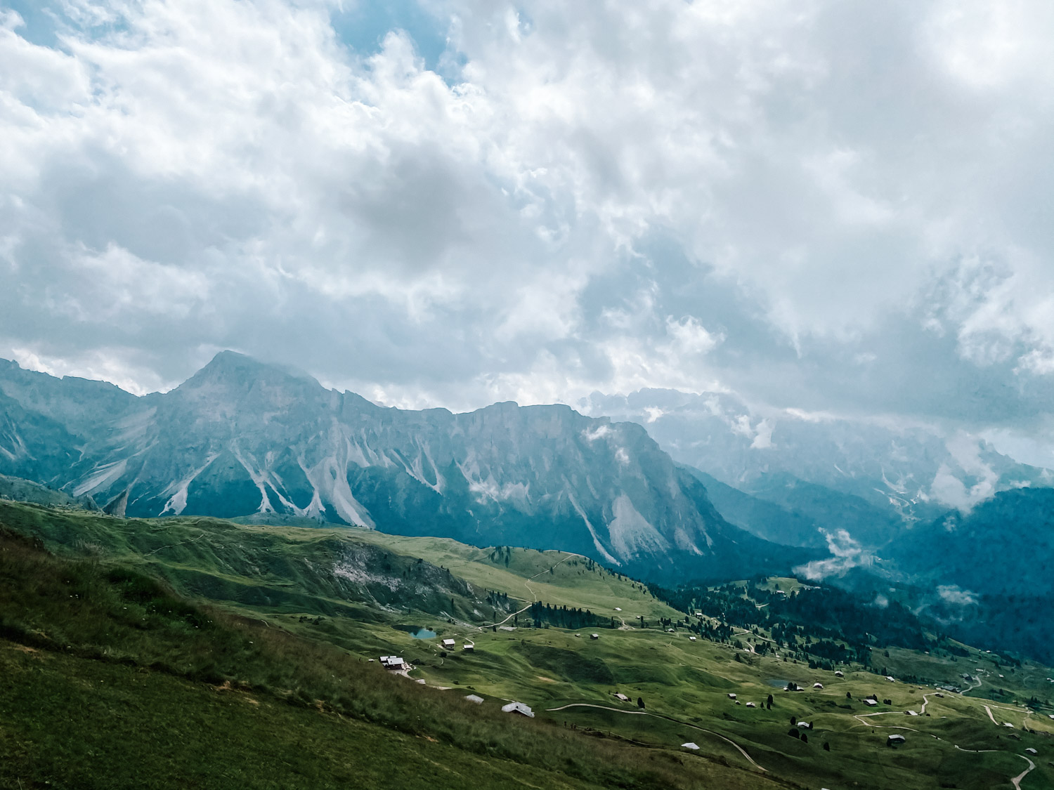
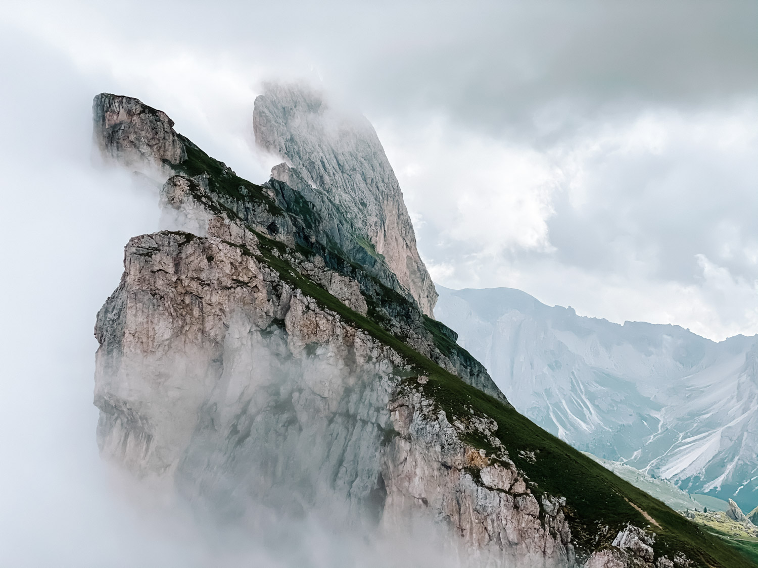
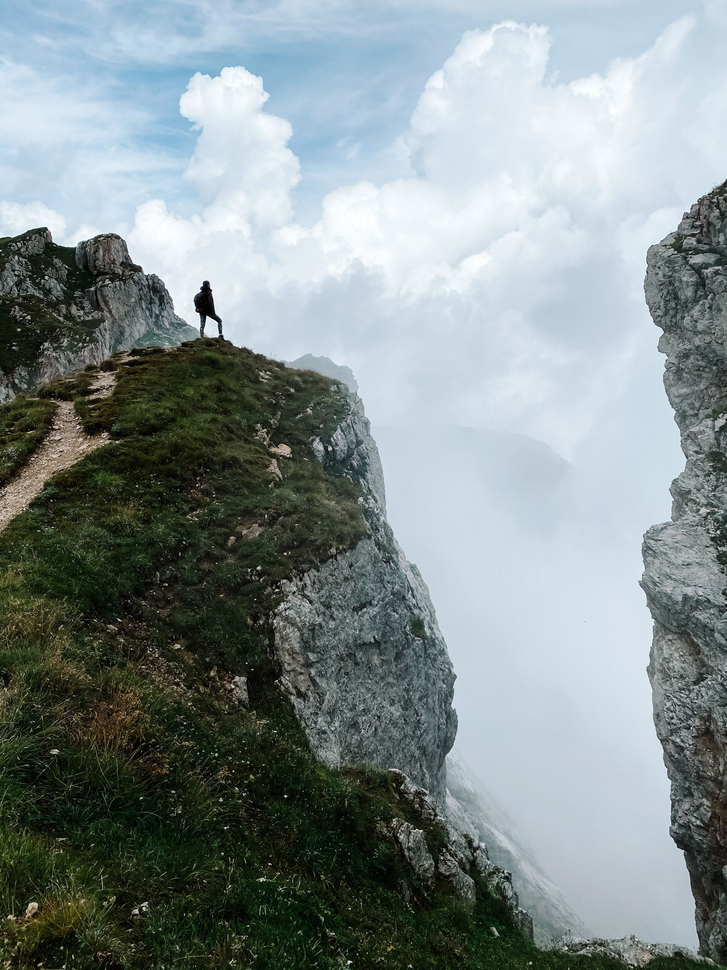
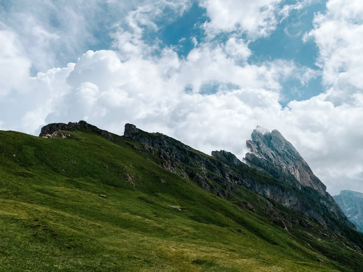
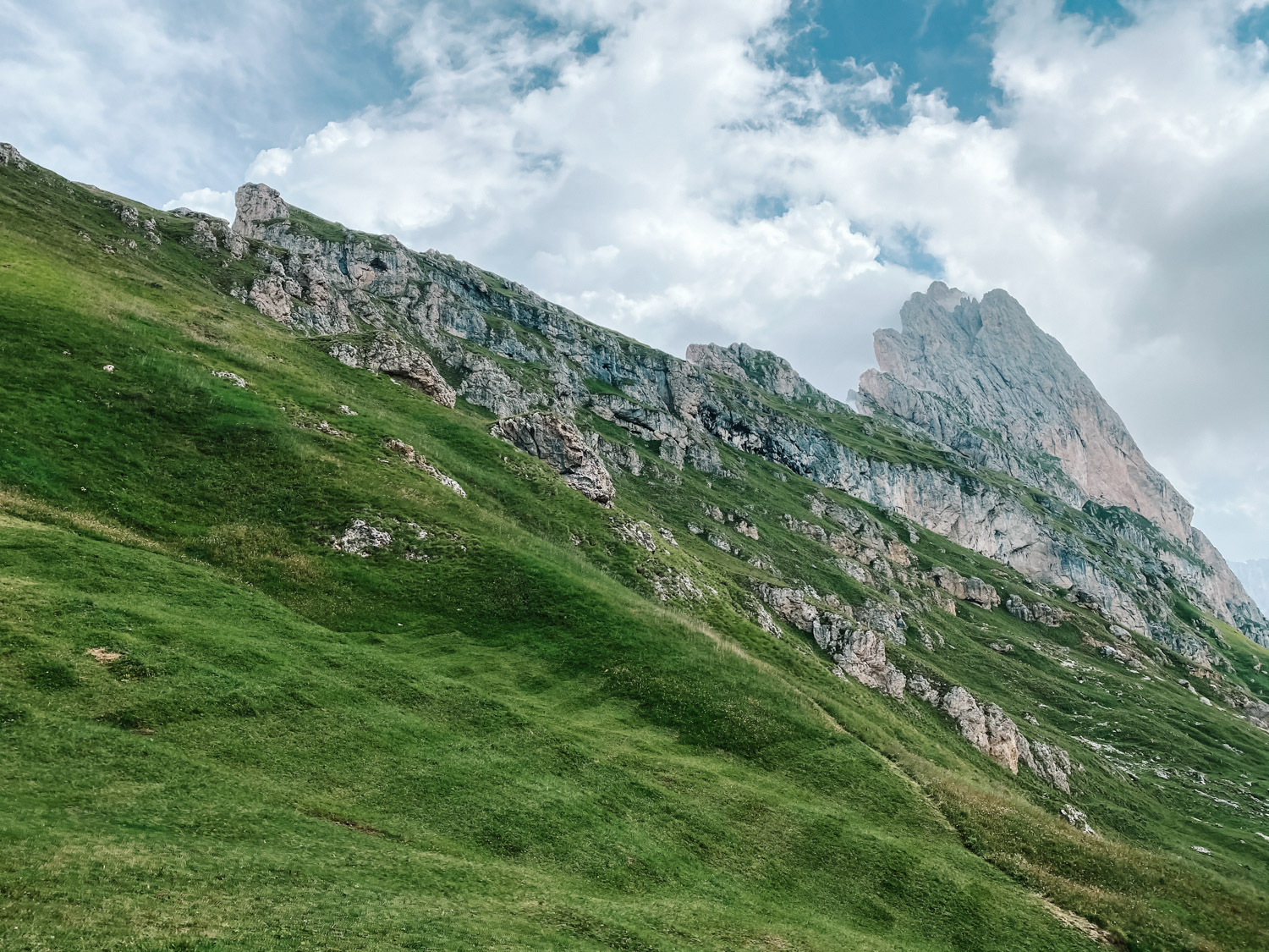
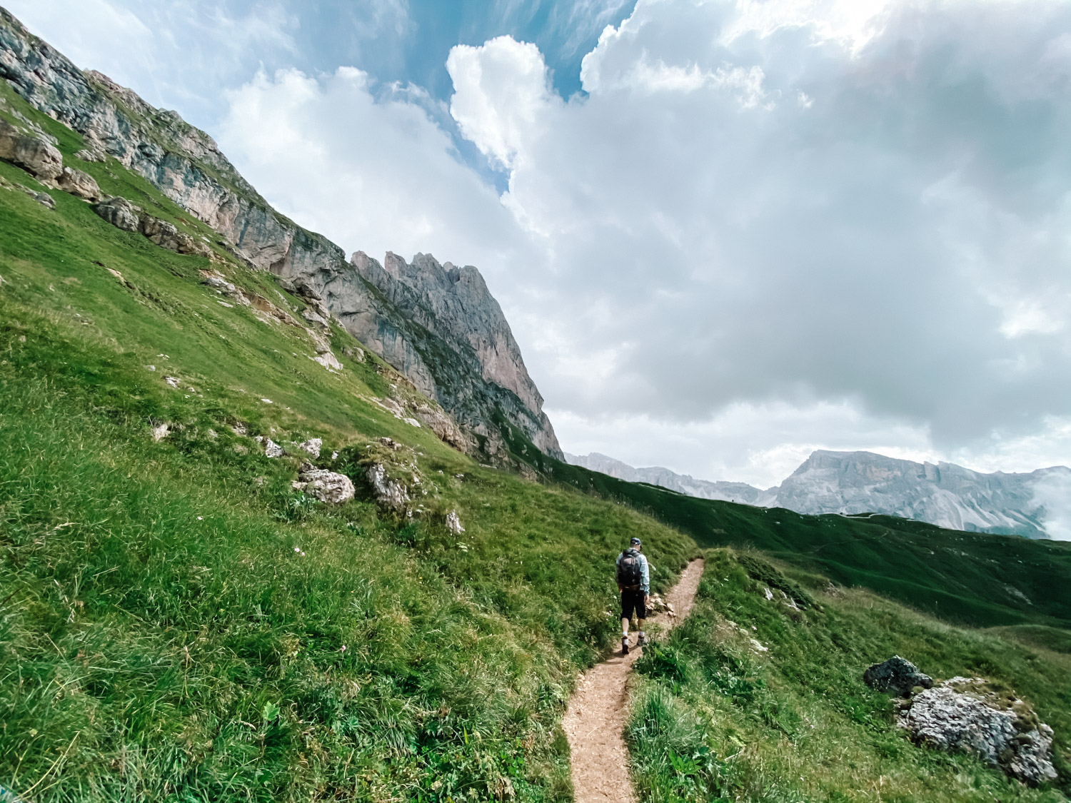
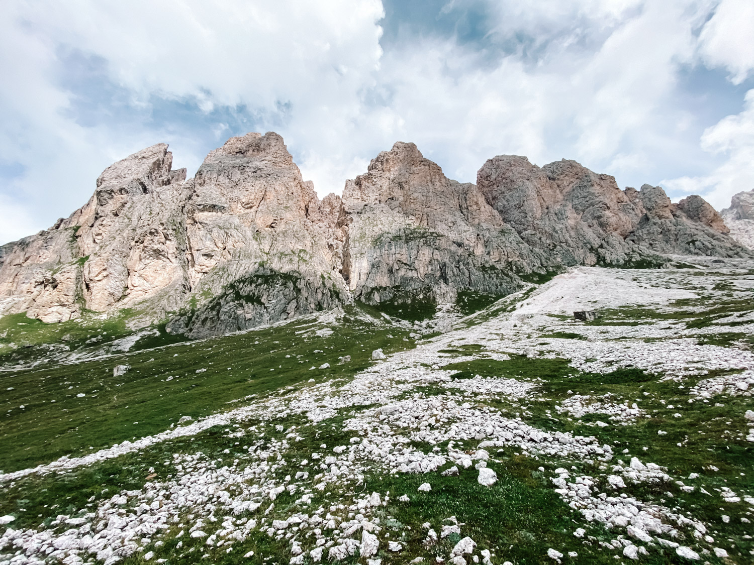
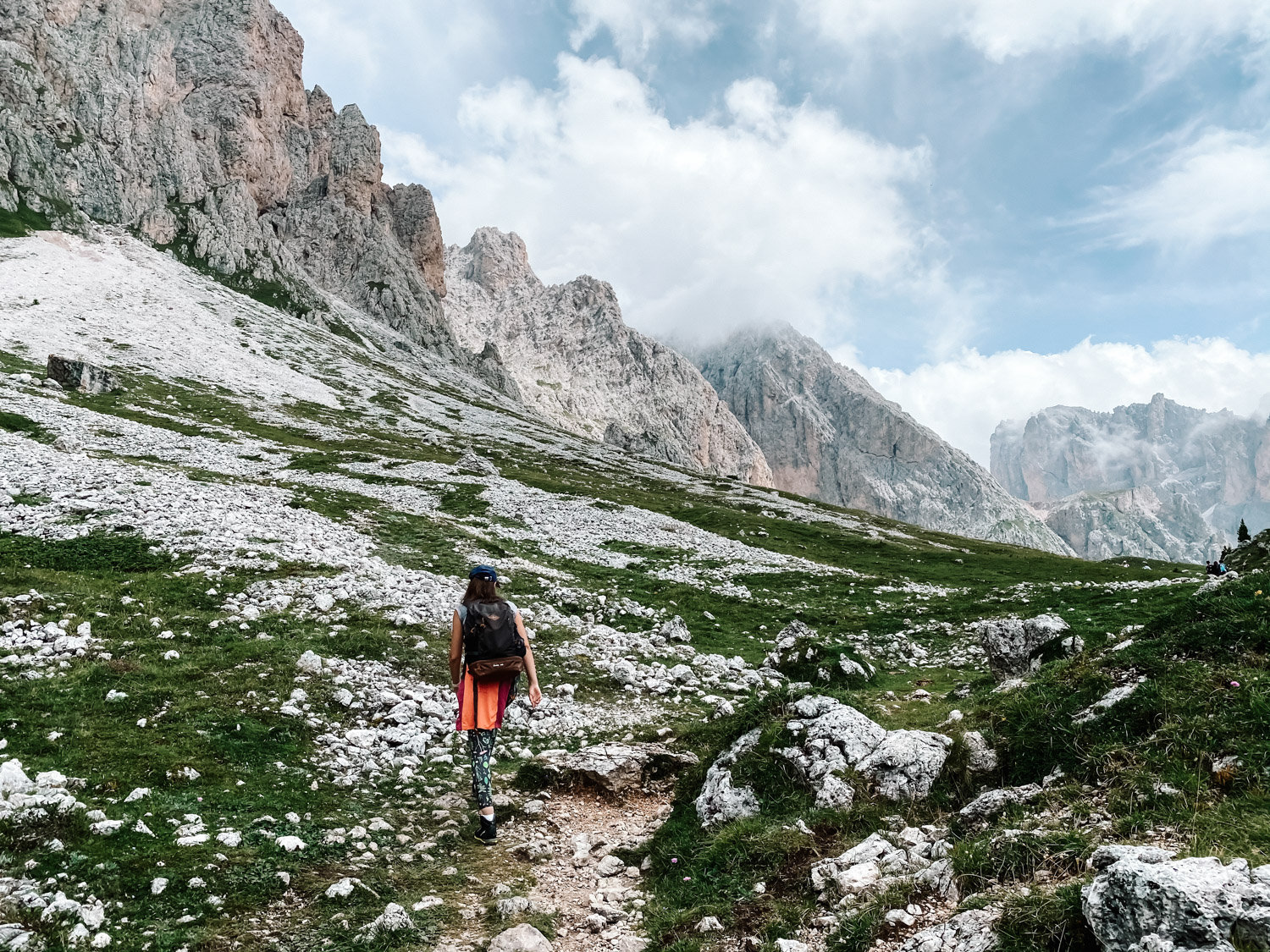
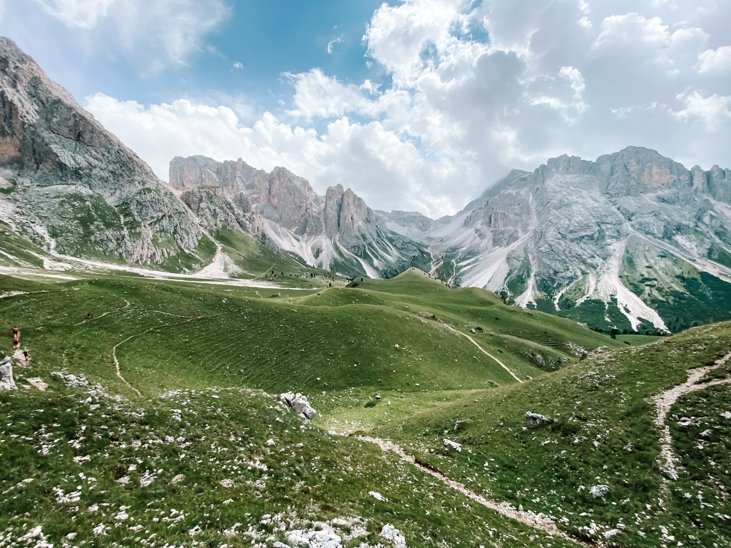
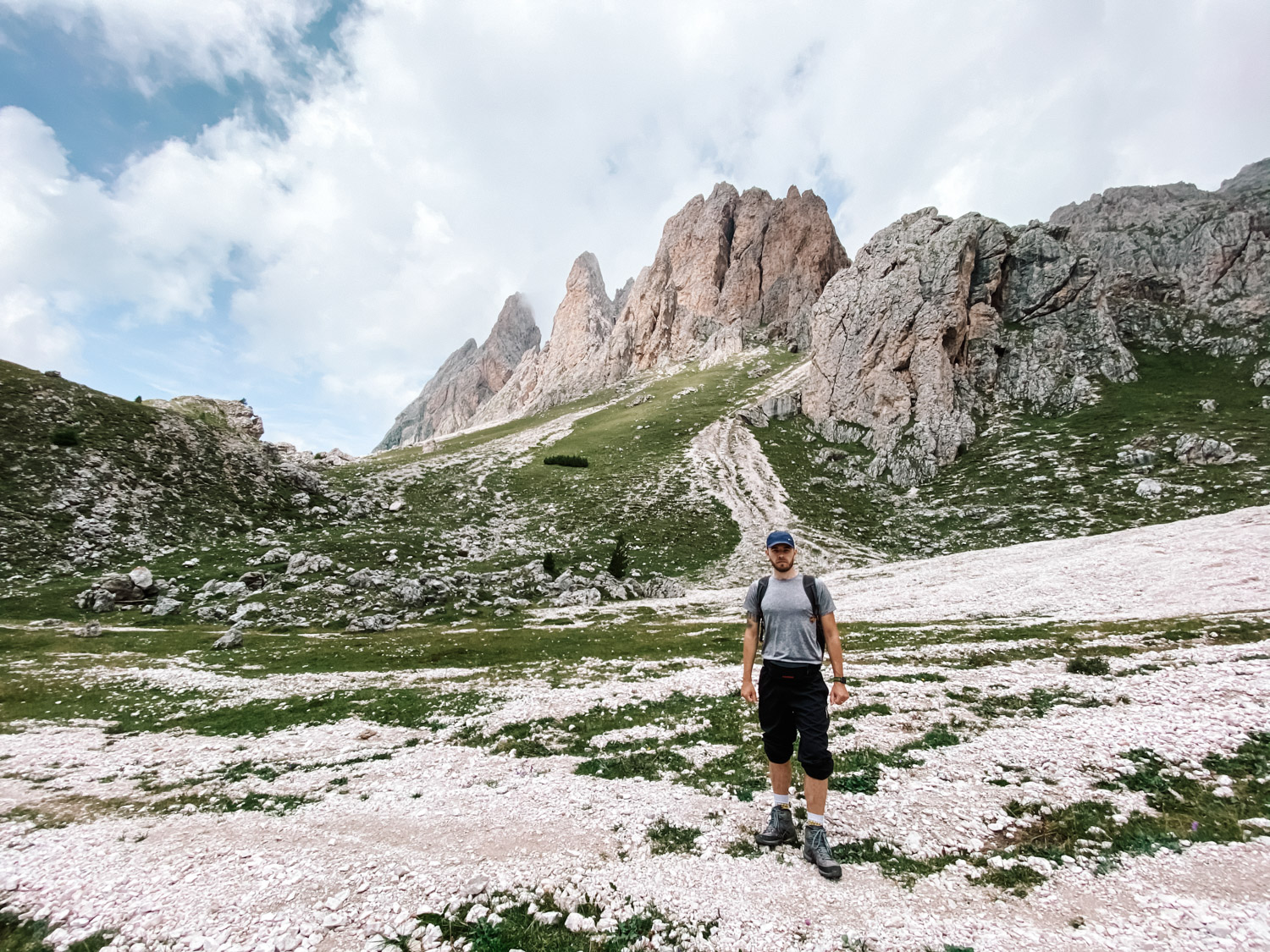
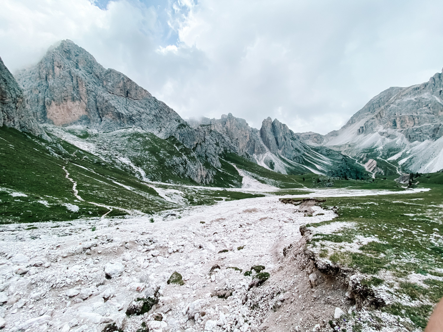
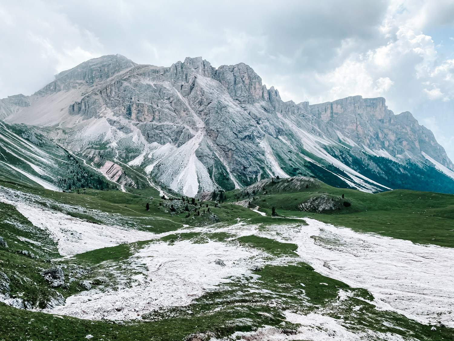
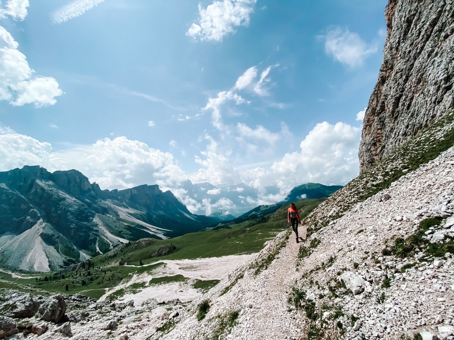
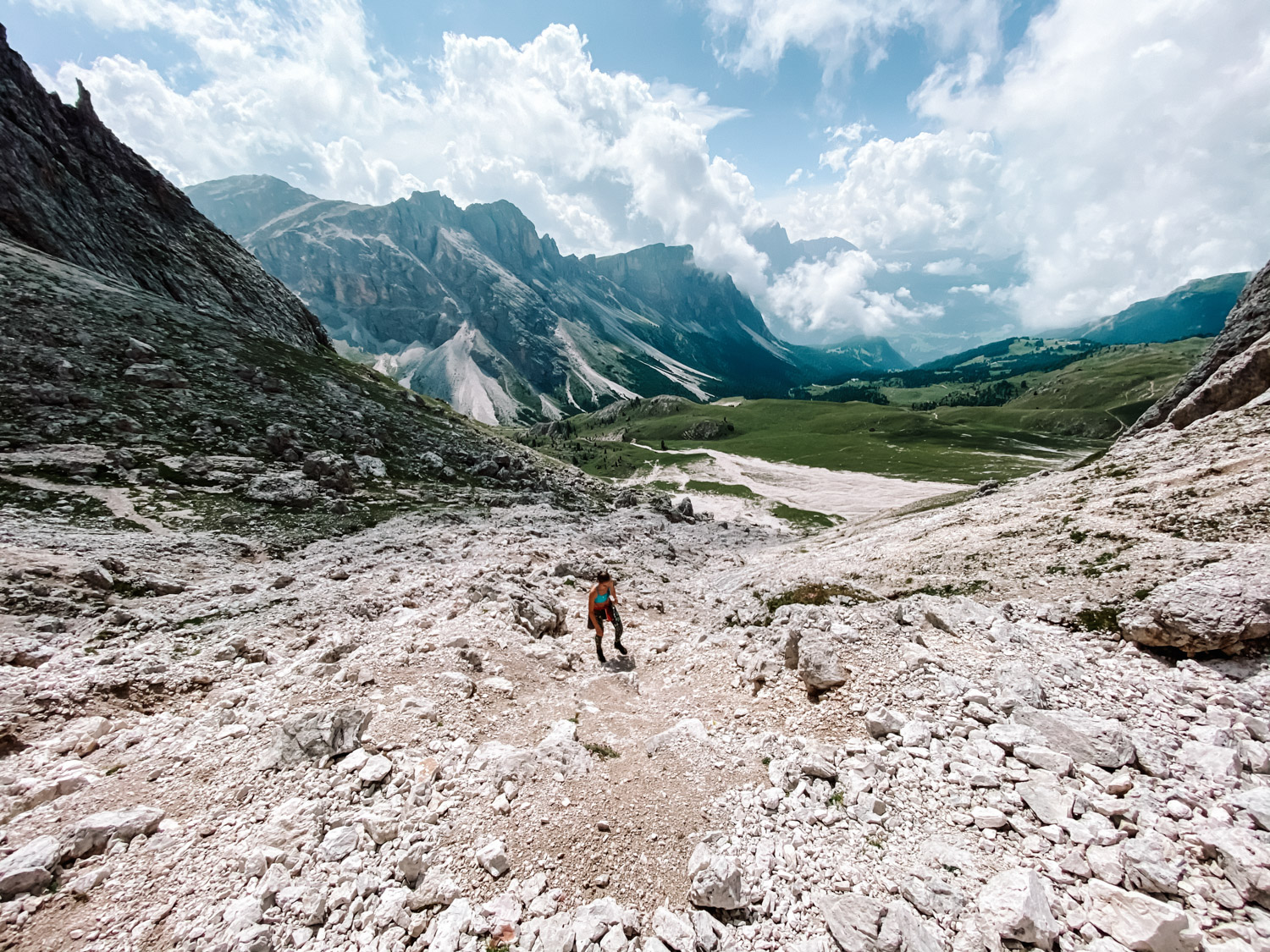
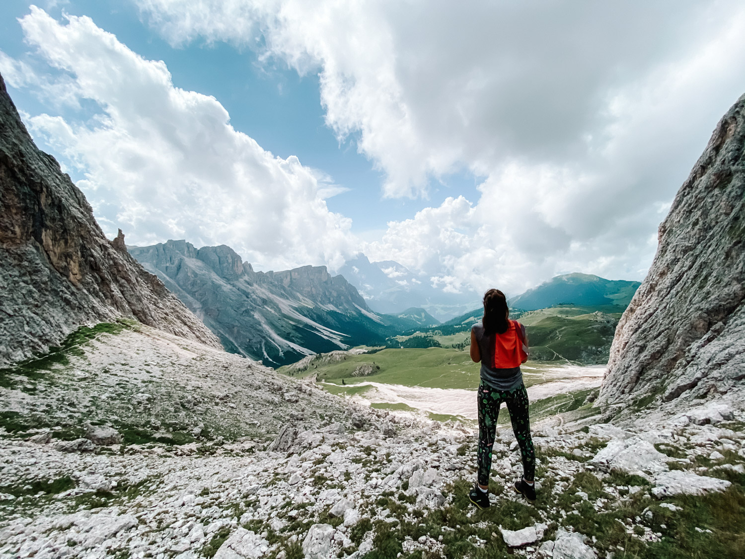
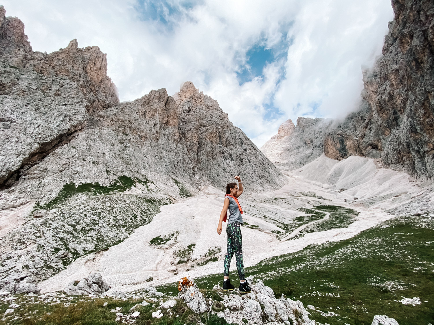
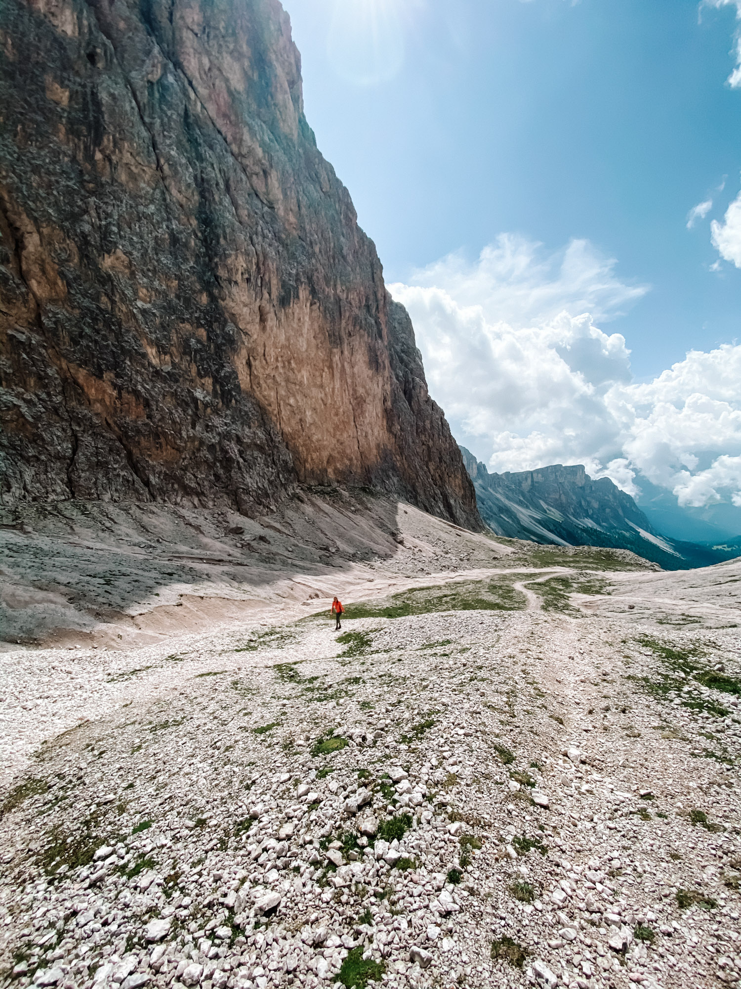
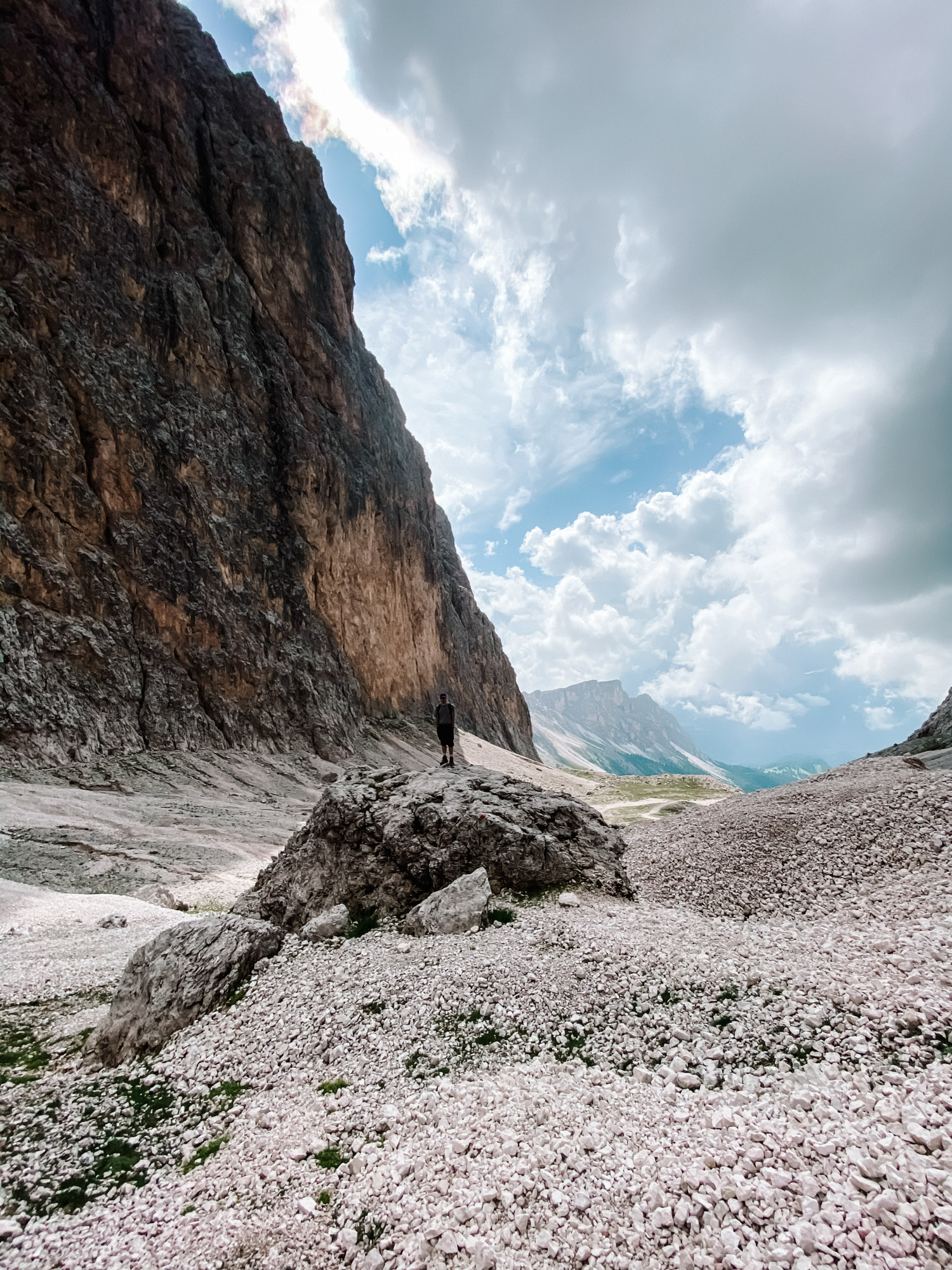
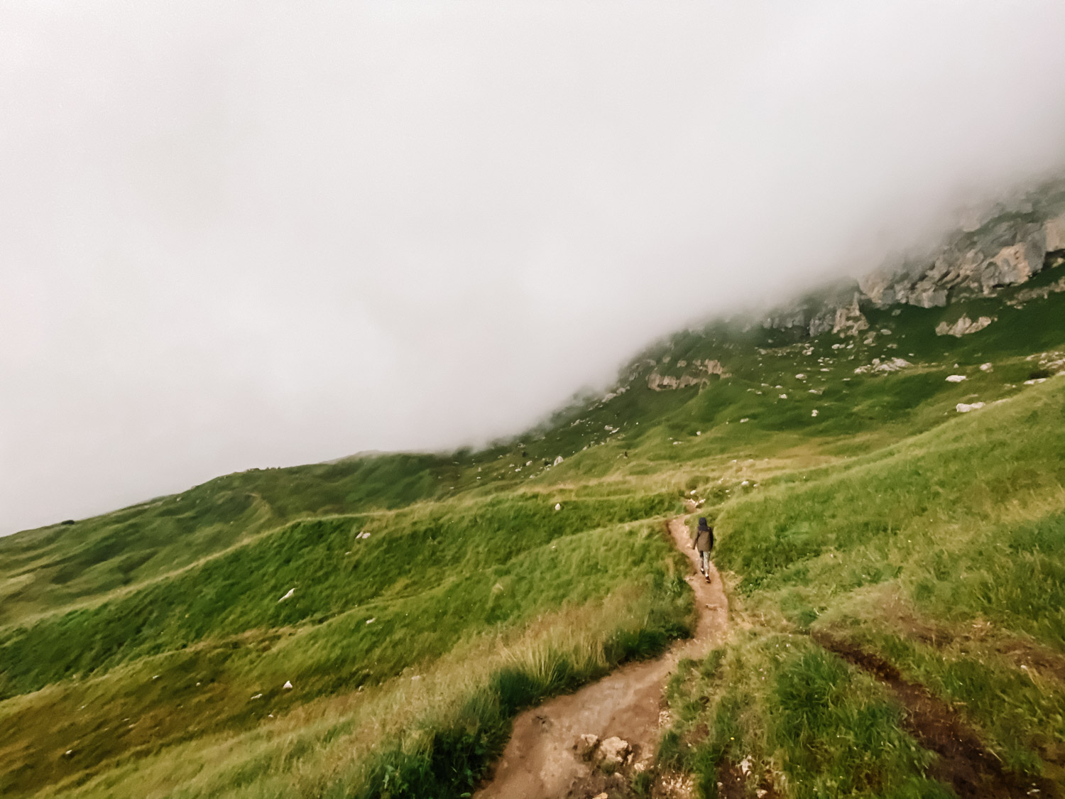
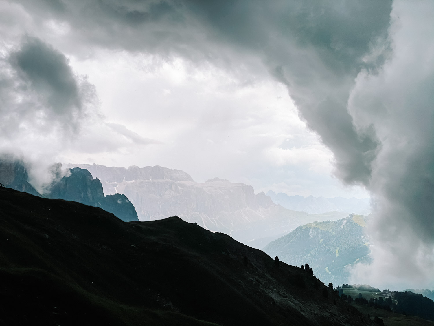
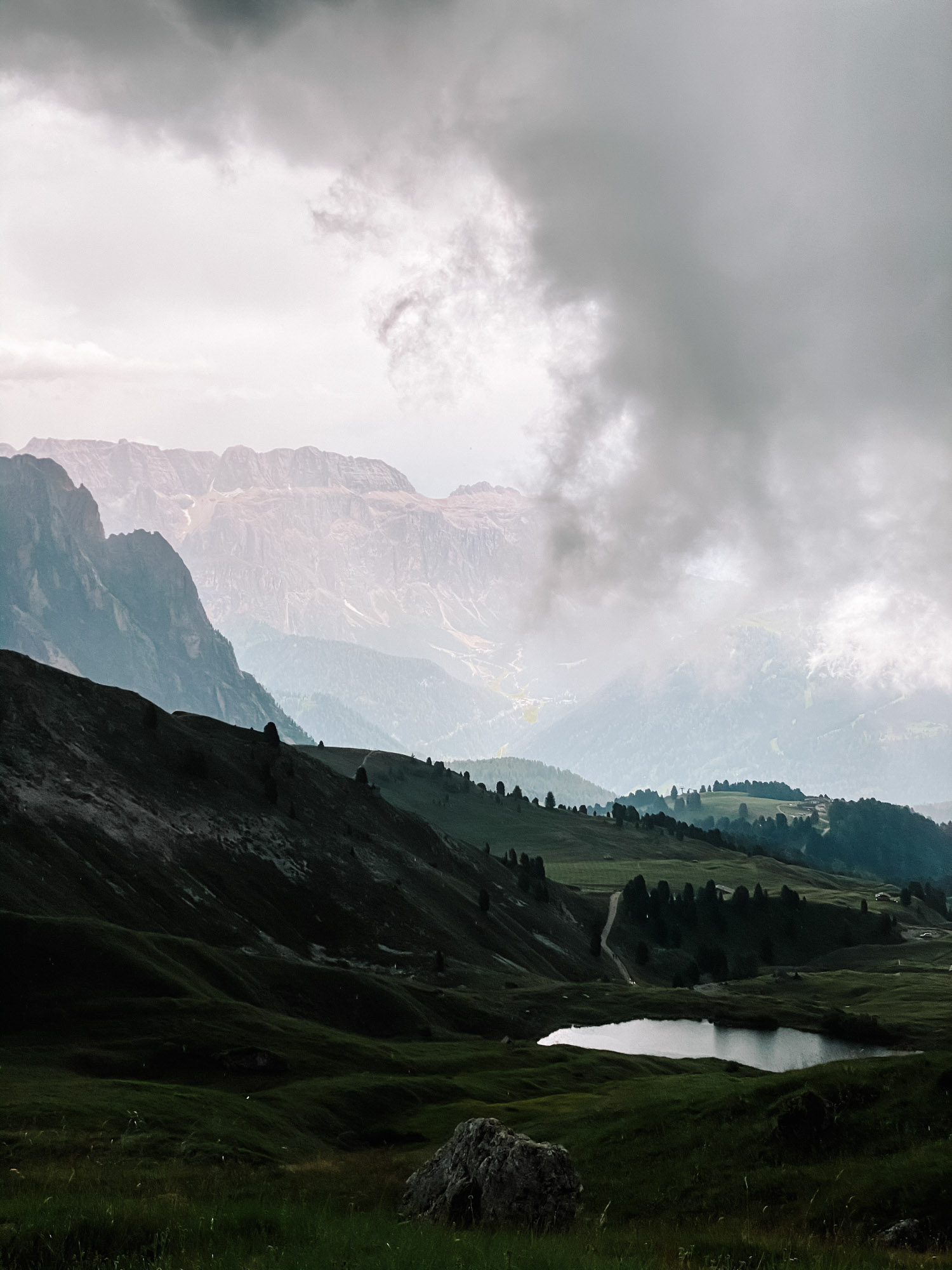
You can start the hike from different places, we went on the most familiar one, taking the cable gondola from Ortisei – Furnes – Seceda. Here is a car parking place you need to get to if you plan to do the same route. We knew rain was going to come, so we went fast and covered the route close to Saas Rigais. Soon we were leaving behind beaten tracks and most of the people and got surrounded by surreal rock mountains on two sides. Pictures are not showing at all the majesty of this place, it’s really epic. When we felt rain is next behind us, we turned back to Seceda following the same route. We have a Strava map at the end of the post with more hike details, ascent and length about our route.
Conclusion
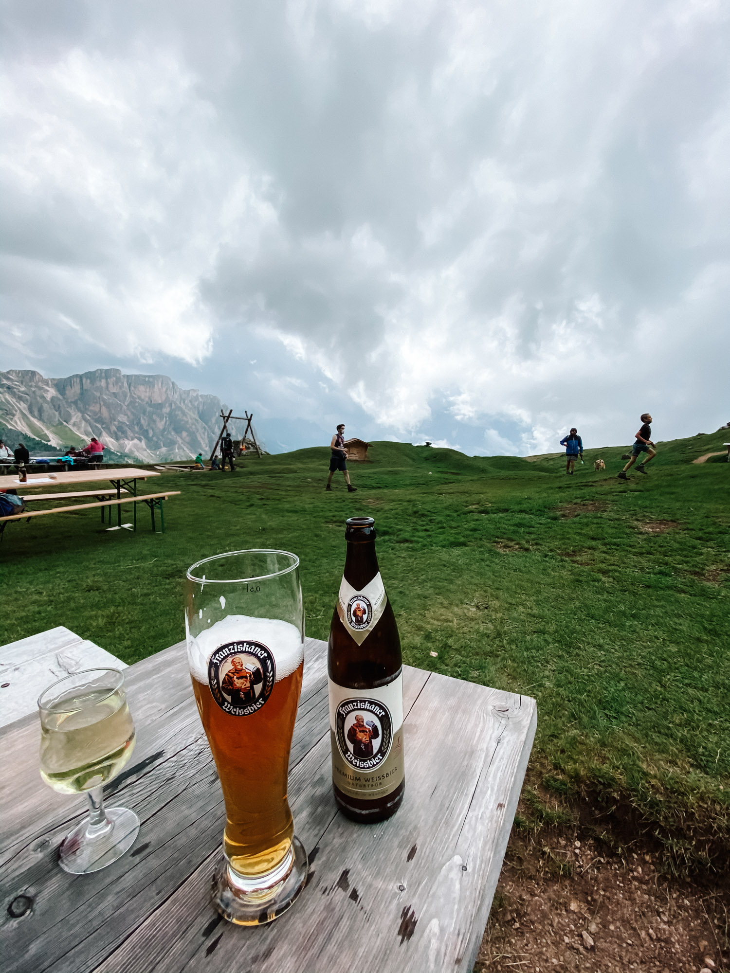
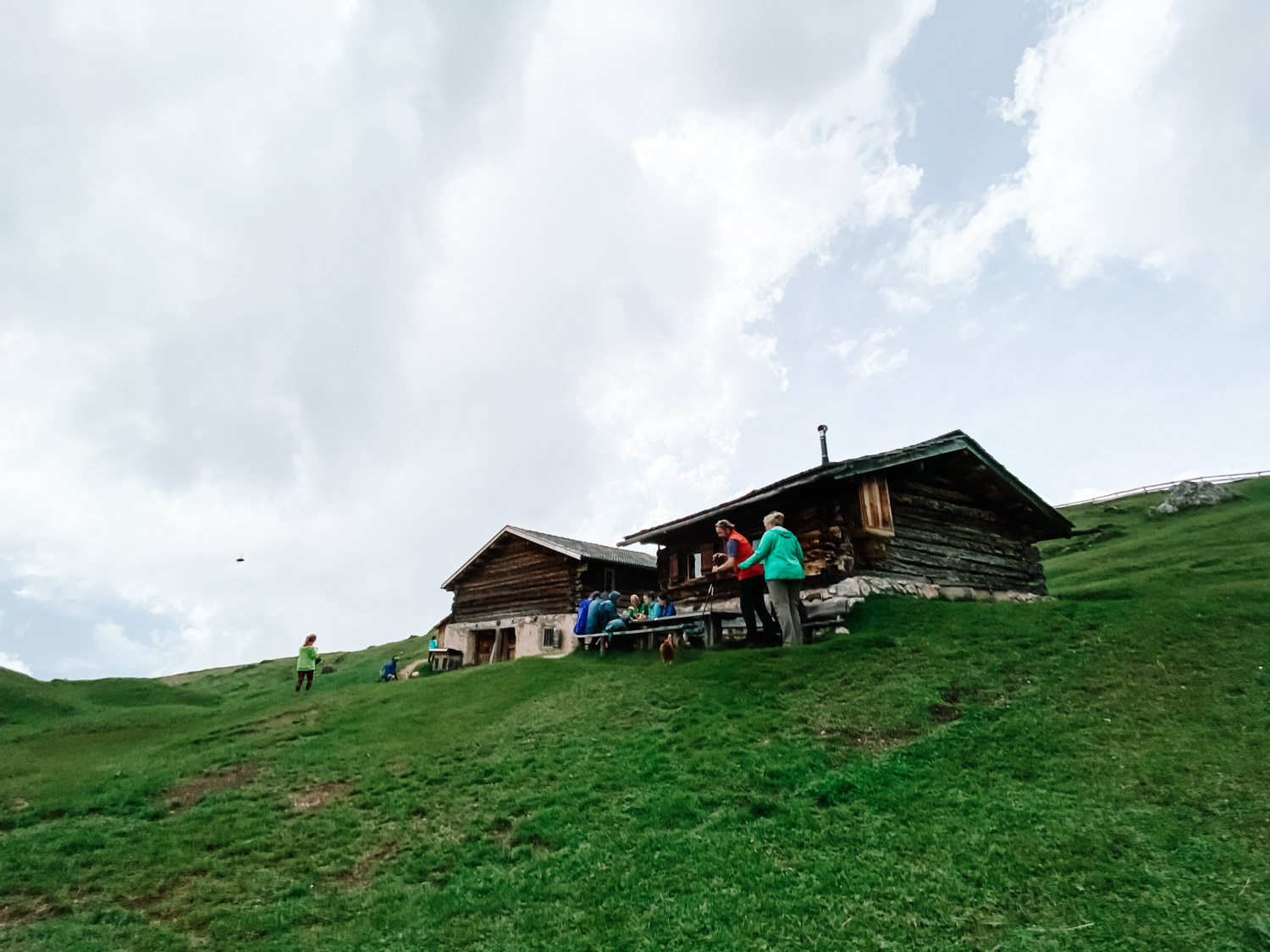
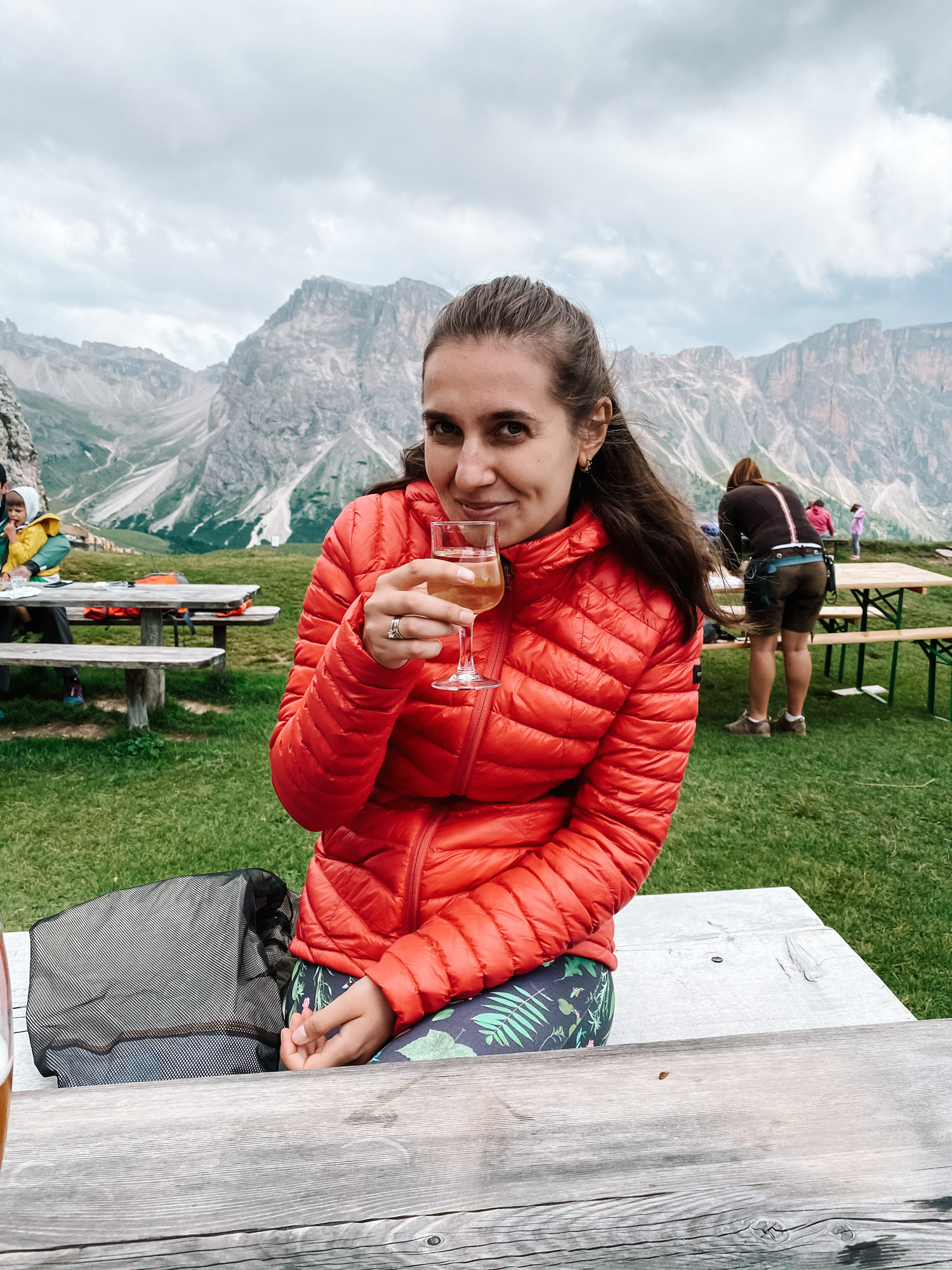
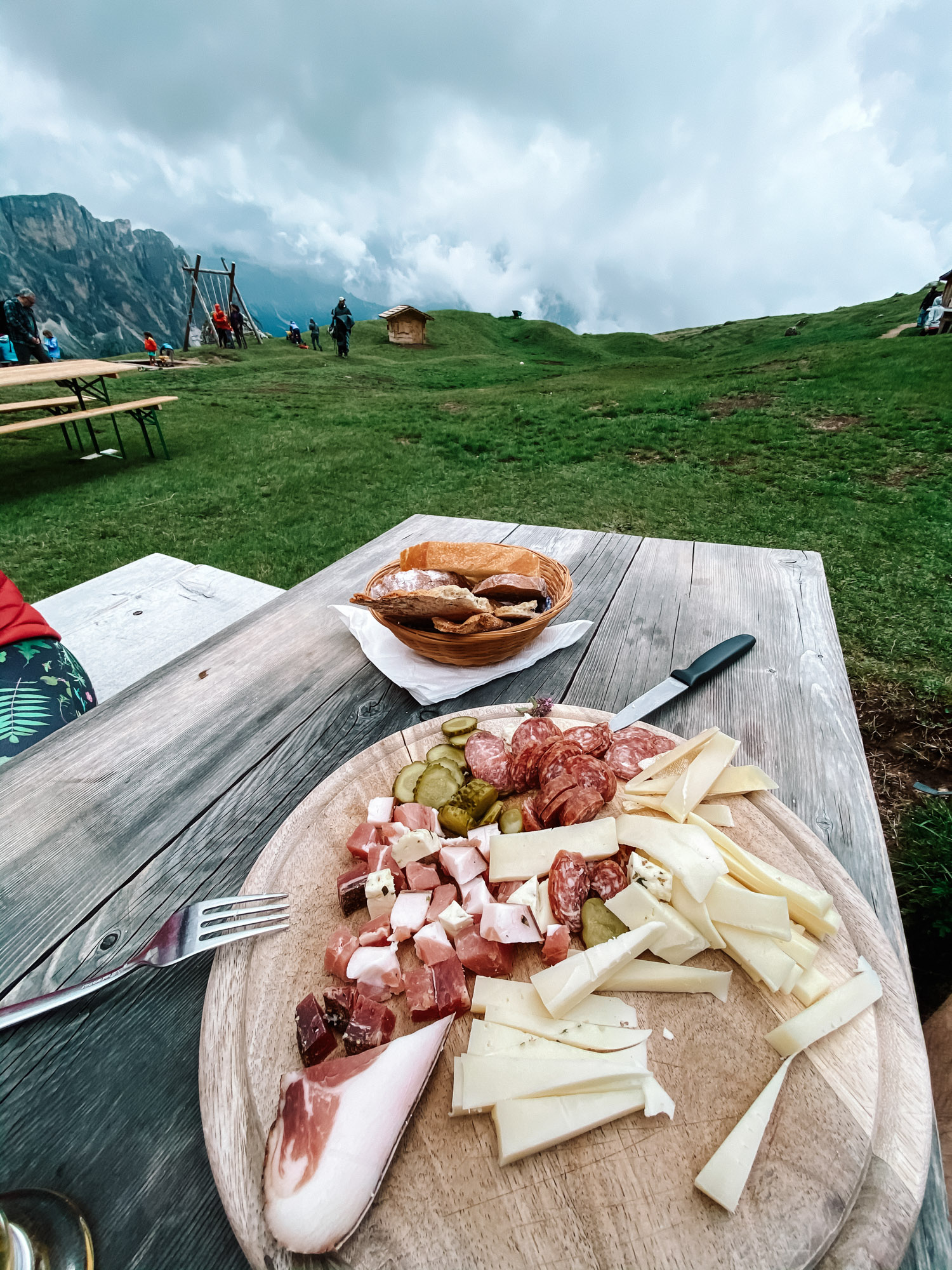
Even if it took us 4 hours including breaks, you could spend much more time on the multiple routes that start from here. The rain got us on our half way back, while finishing a quick lunch in one of the rustic huts placed close to a cliff, so we were lucky to enjoy half of the hike surrounded by clouds only. If you are interested to know more details about Seceda, please let us know, happy to talk more.


After Dolomiti, we went to Venice, if interested, you can see our next Italy adventure by clicking here.