
Here are the summary hike details:
- Start location: Harder Kulm
- Destination: Augstmatthorn
- Ascent: 940 m (3.083 feet), Descent: 1.350 m (4.430 feet)
- Distance: 17 km (10.5 miles)
- Duration: 5-6 hours (snack and photo breaks included)
- Technical and physical requirements: Medium
- Season: June – October
Introduction
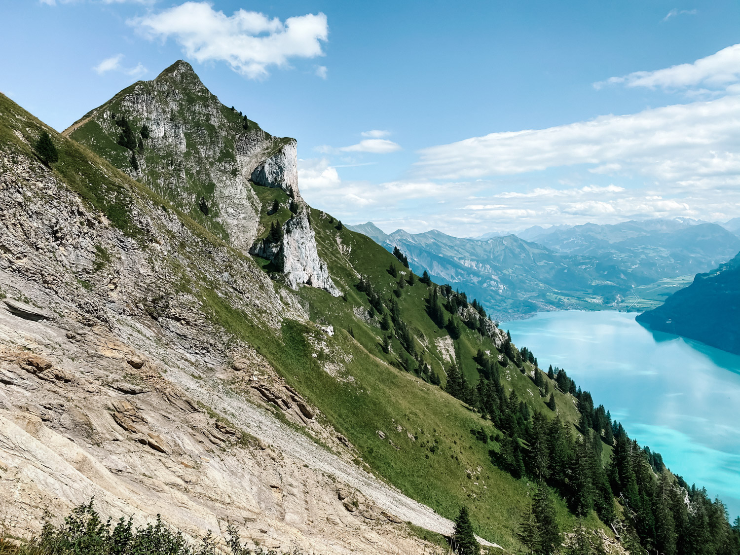
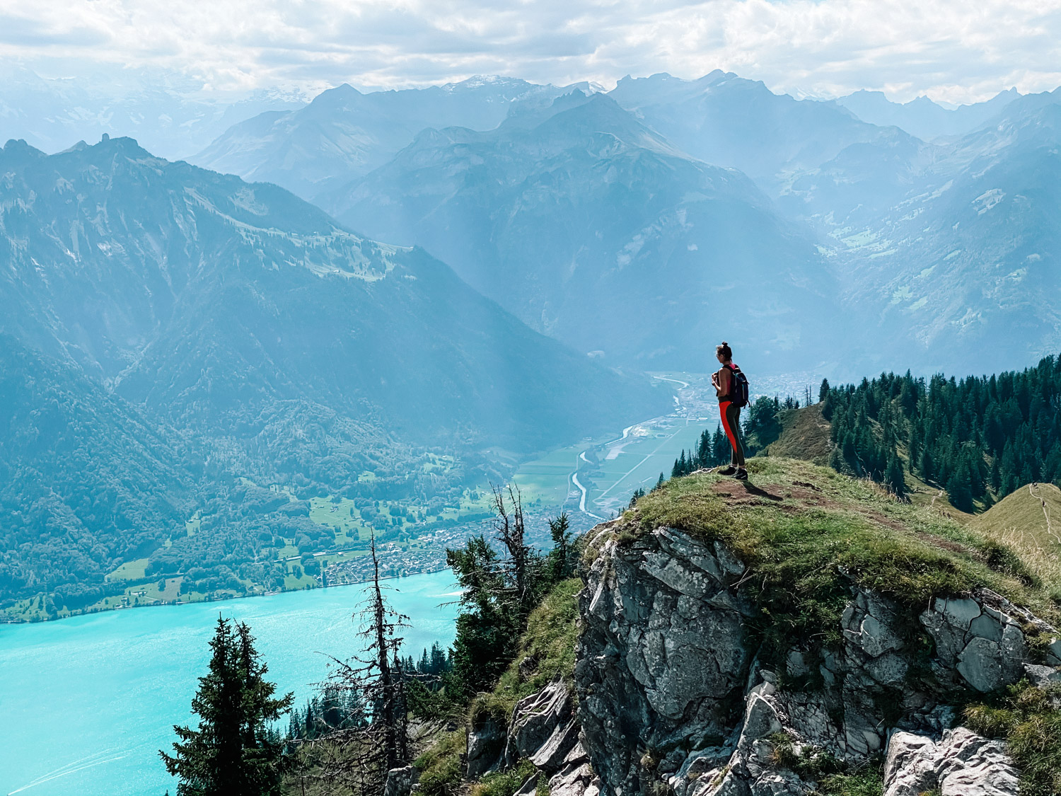
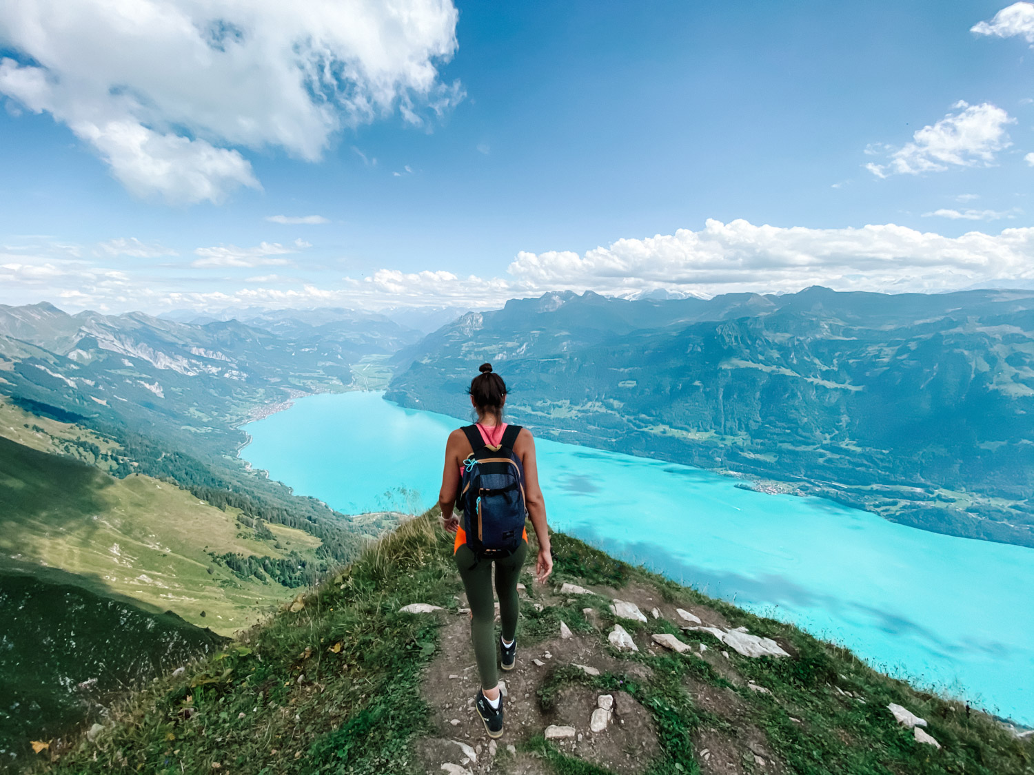
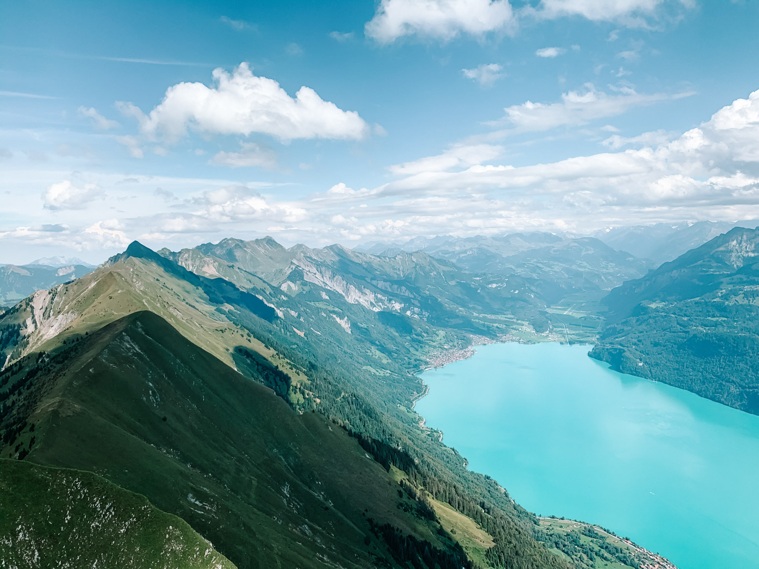
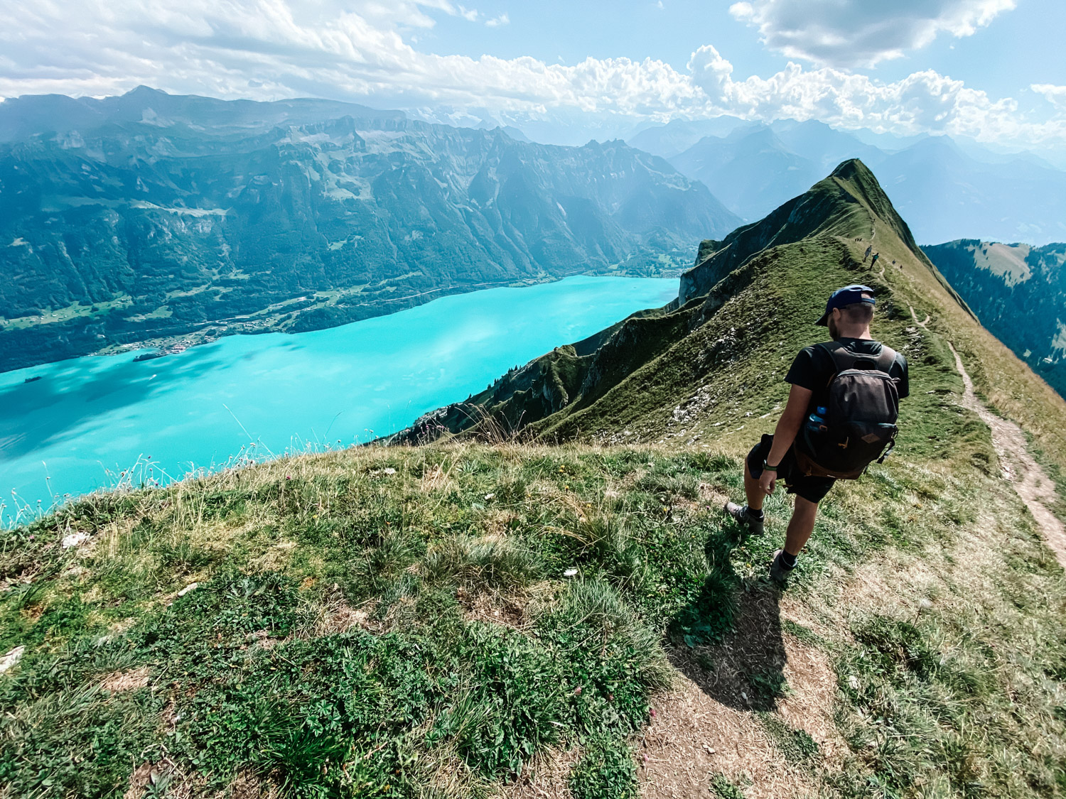
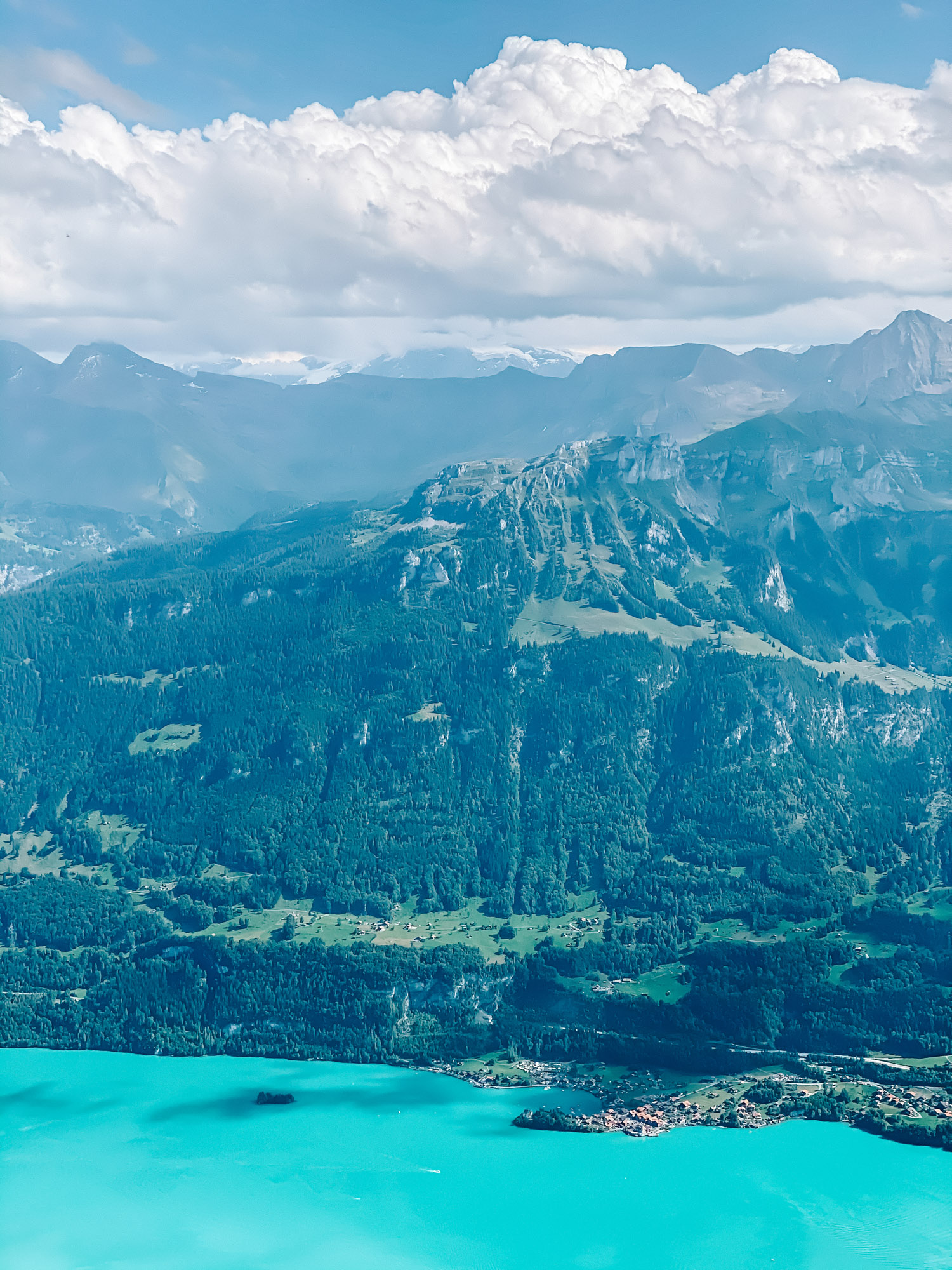
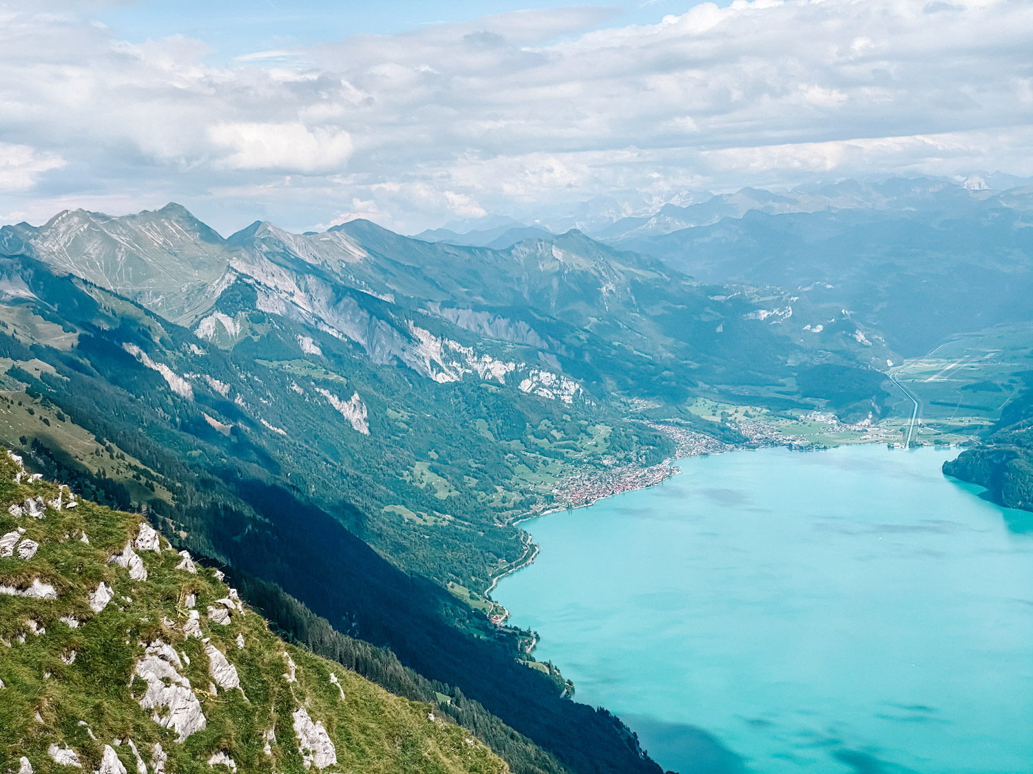
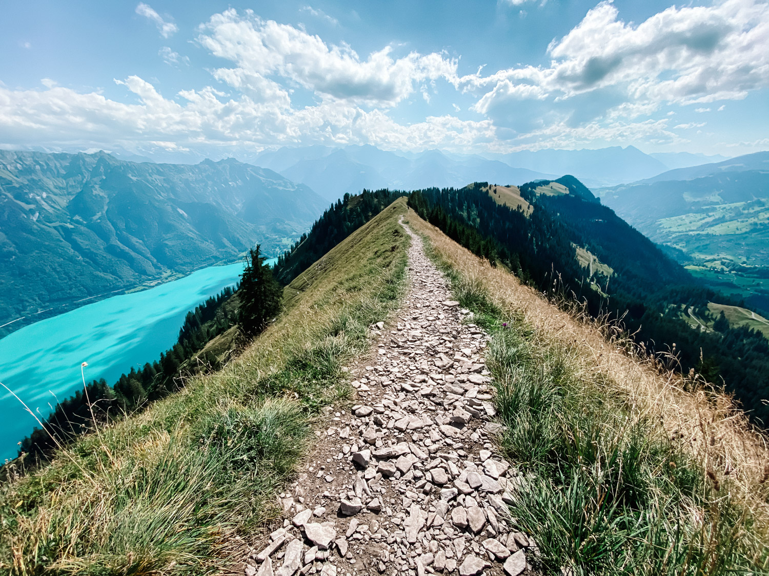
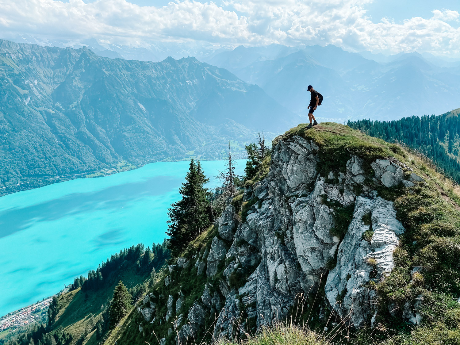
Augstmatthorn summit is spectacular, offering great Ridgeline views and also views towards Lake Brienz (Brienzersee). You can reach Augstmatthorn in various ways but we choose the popular route, beginning at Harder Kulm. You can see the hike tour on Strava, below at the end of the post. The route is not dangerous and not very steep, except a few parts. as you will see in the photos below.
How to get there
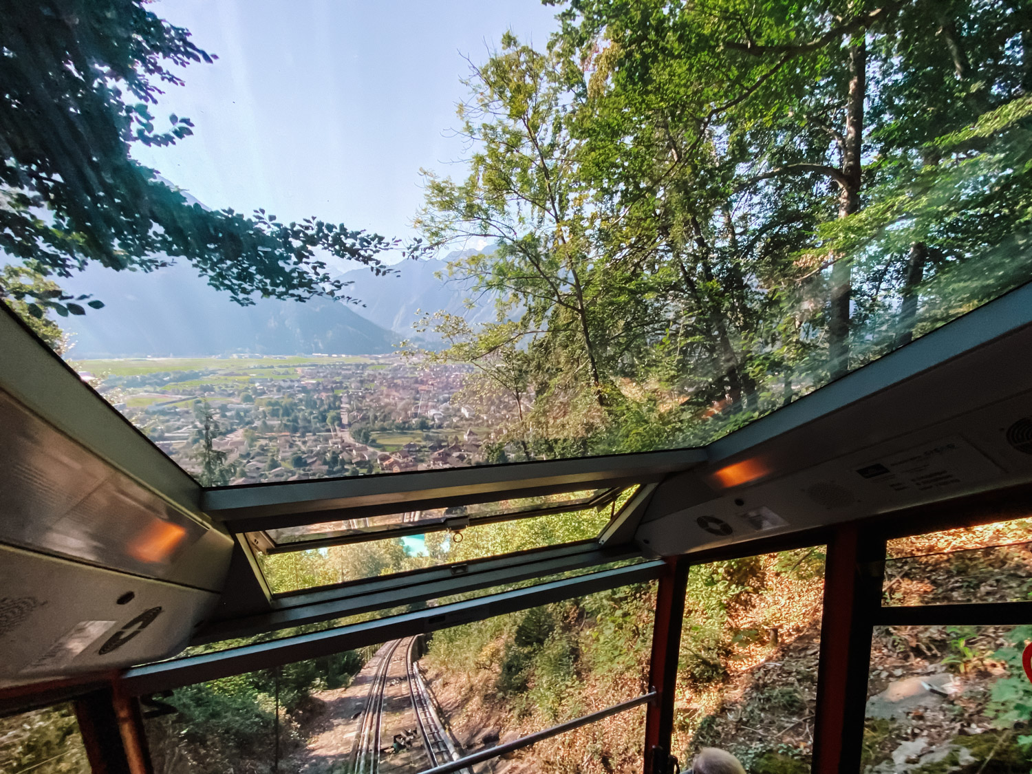
In order to start the hike from Harder Kulm, you need to get to Interlaken Ost, by train or by car. From Interlaken Ost, you take the funicular up to Harder Kulm. You can click here to see the schedule and prices of the funicular. It usually goes up every 30 minutes. Tickets are cheaper if you have the Swiss GA or Half Fare travel cards.
Hike details
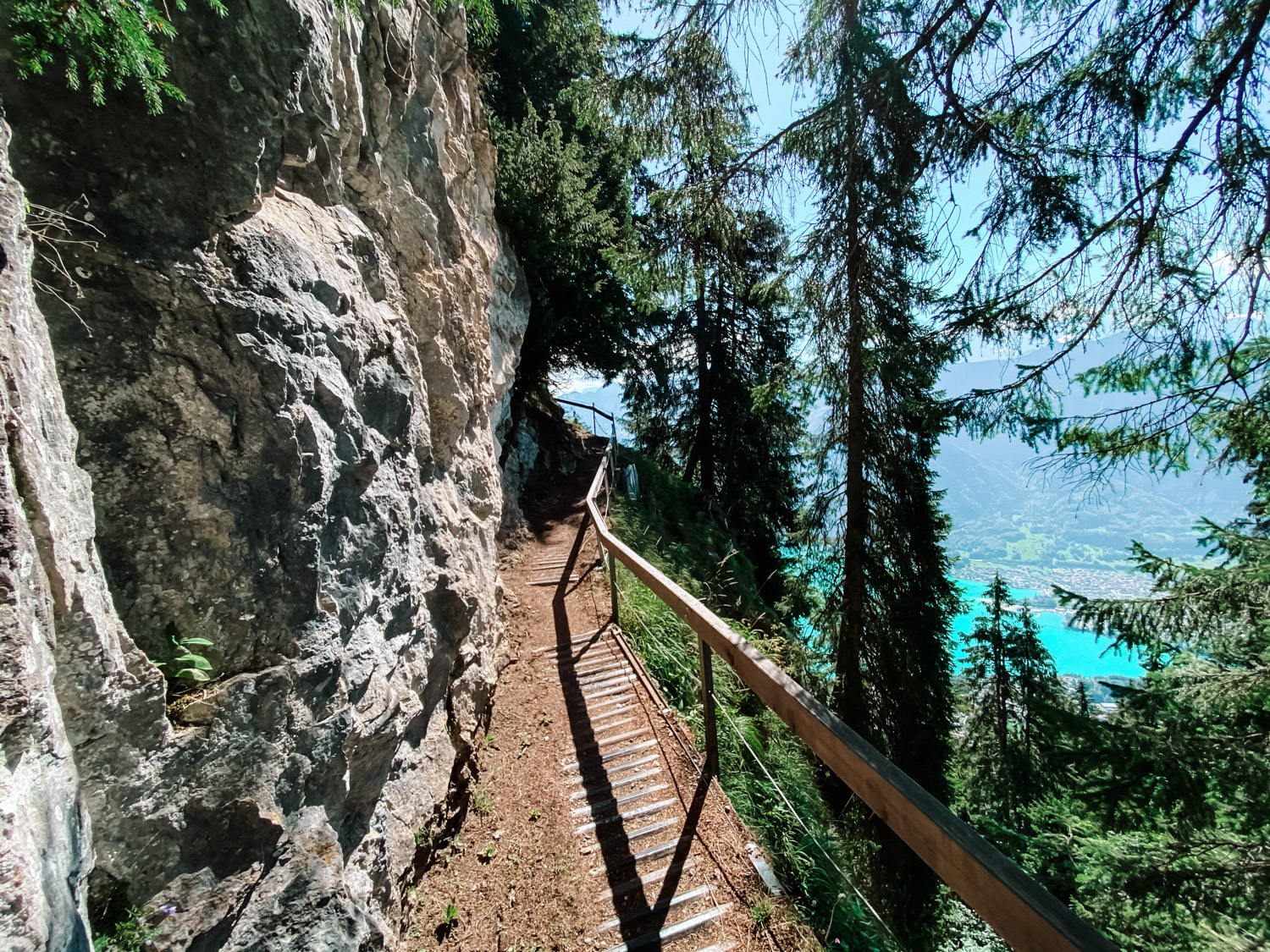
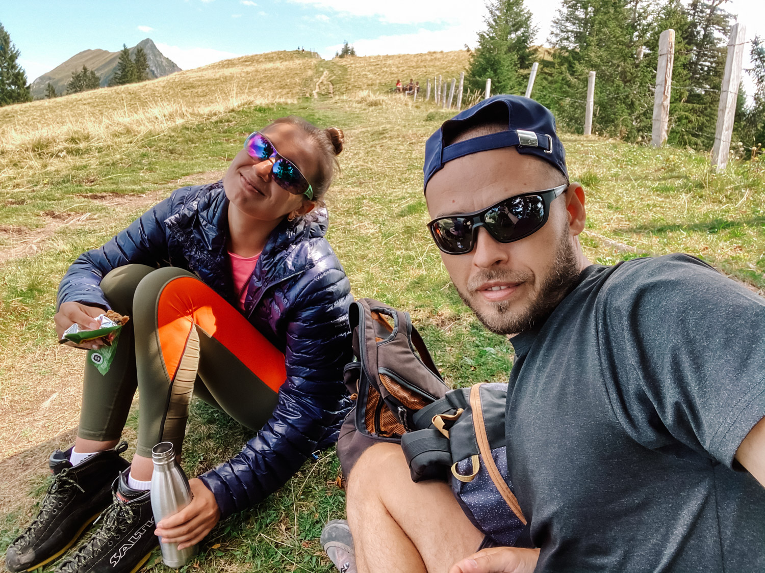
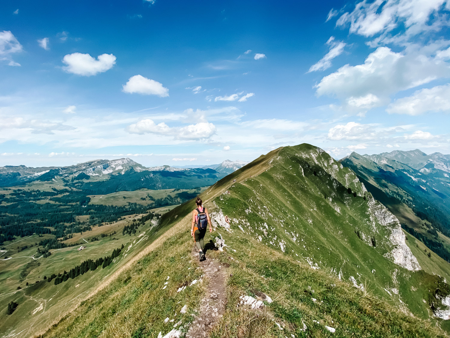
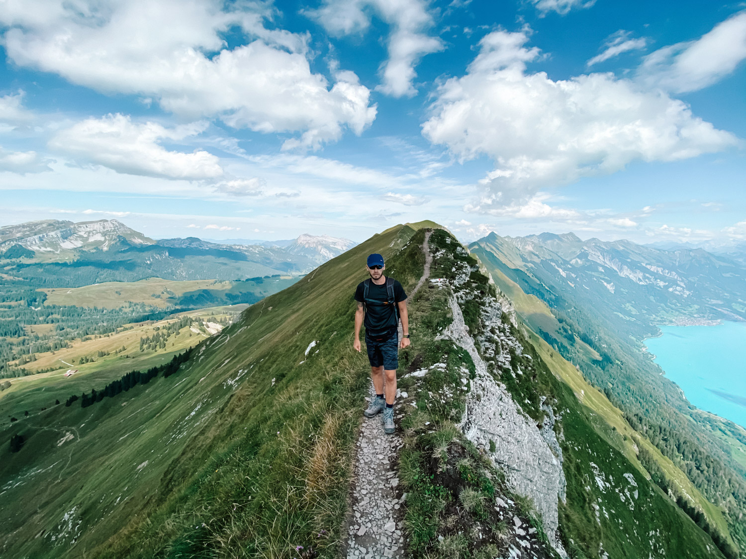
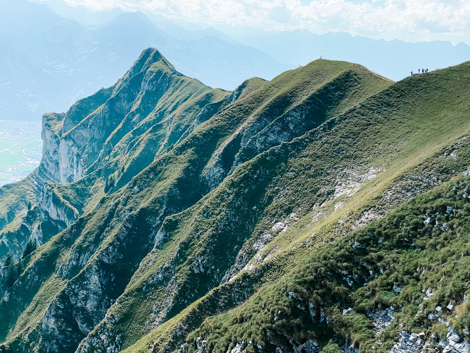
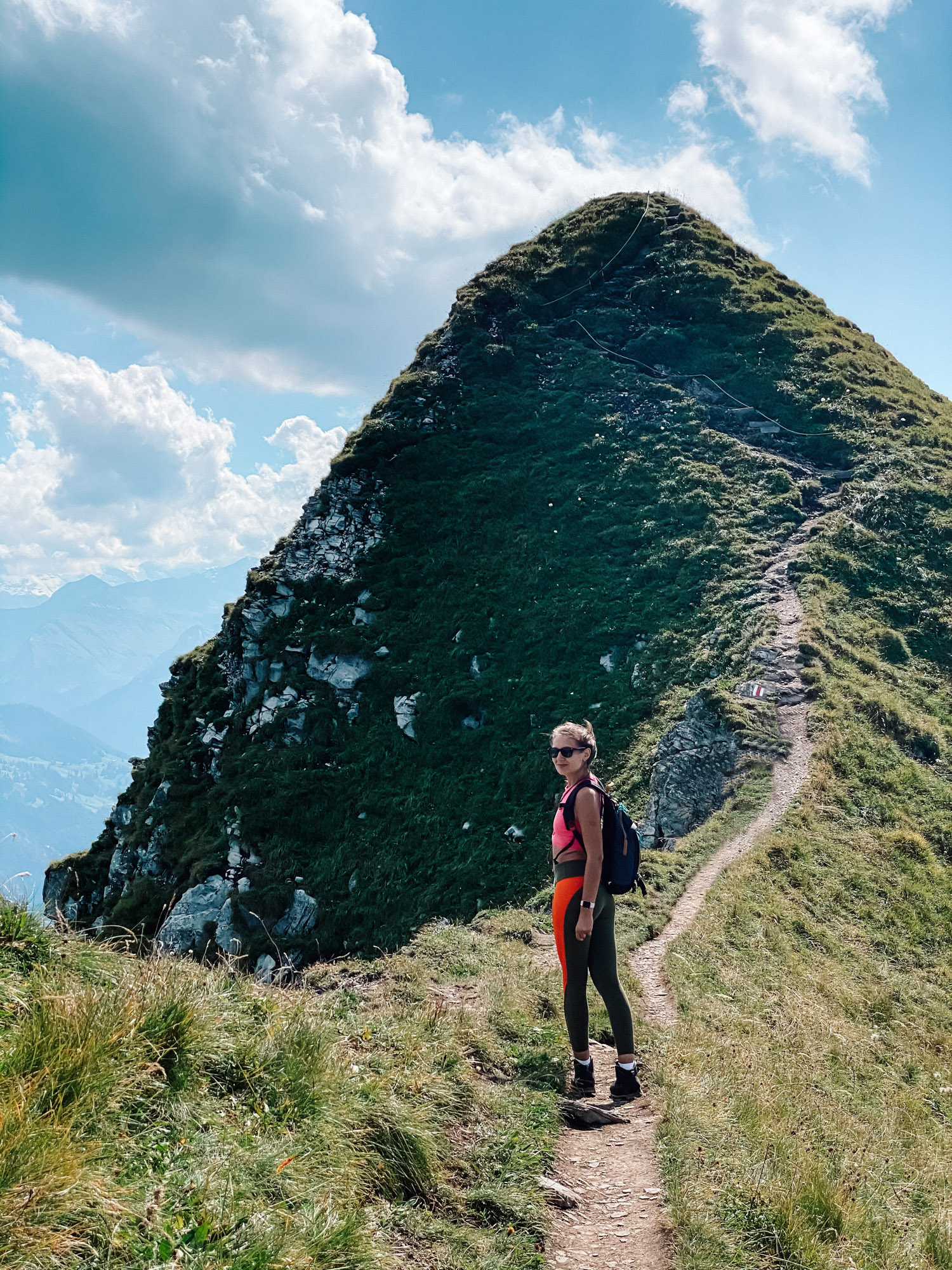
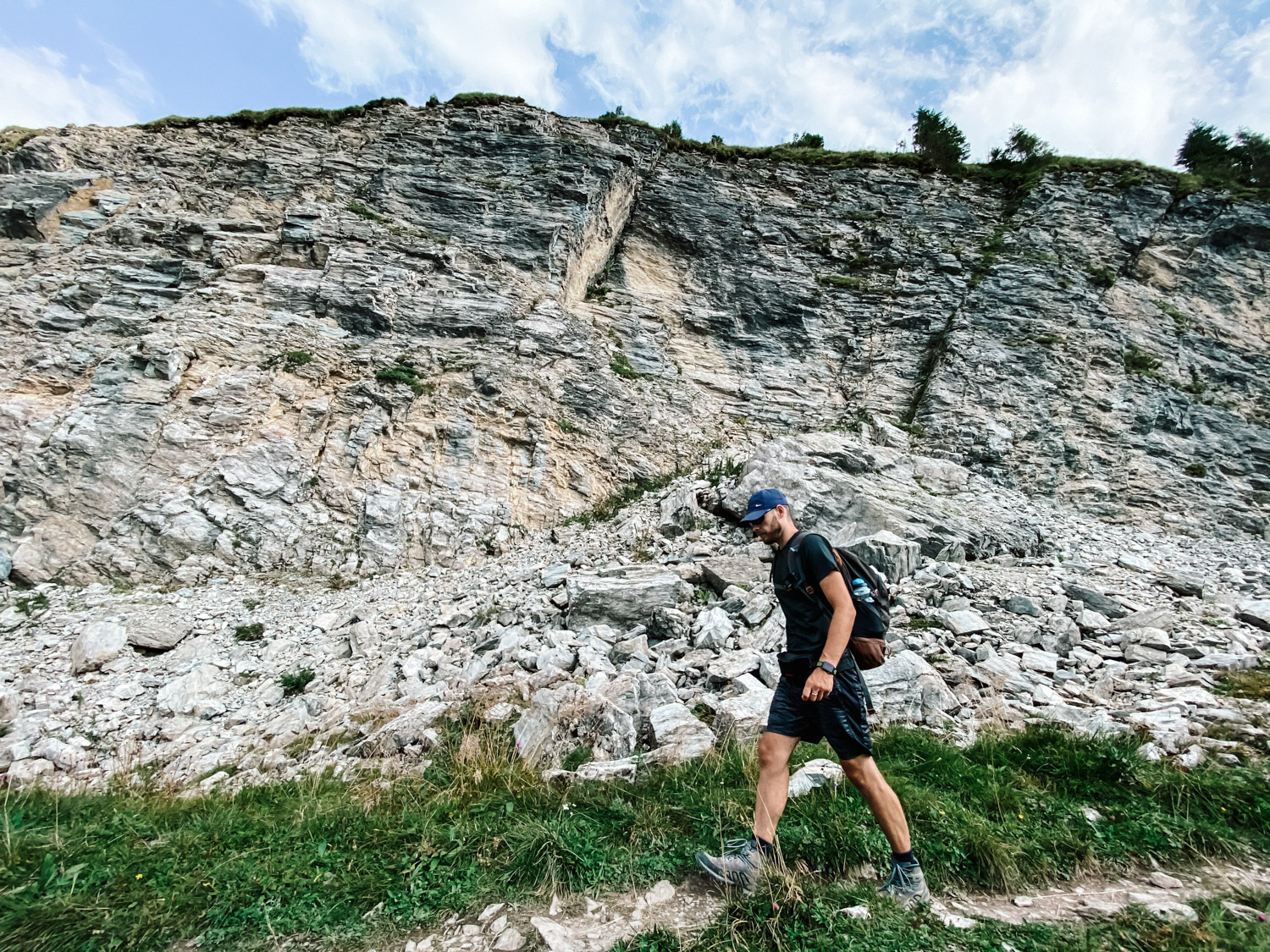
Once you get to the popular restaurant at Harder Kulm, there are signs pointing to Augstmatthorn, and you just follow the signs. The first 5 km (3 miles) of the hike are through the woods, in a slight ascent, in the shadow most of the time. So pretty easy and not much sights. After that, you are pretty much in the sun all the time, so make sure you have suncream and plenty of water (there are no water points along the whole route). Then you reach to Suggiture, the first point where you get to see amazing 360 views towards the villages and cities nested well under the nearby glaciers. The final part before getting to Suggiture is a bit steep, but very short and there are also ropes to hang on to, in case you need it, so no real danger. From here you have another 20-30 minutes to Augstmatthorn, on an almost plain spectacular walk along the ridge. Here the ridge is a little exposed, but again, no real danger, the path is extremely safe. Not sure if you have fear of heights, then probably you might not be 100% comfortable.
From Augstmatthorn, we went towards Habkern village, which is on the other side of the mountain, with a short stop at the restaurant in Lombochalp. Total distance from Augstmatthorn to Lombochalp is 3 km (1,9 miles) and from Lombochalp to Habkern another 5 km (3 miles). You need 2+ hours if you also make a short stop to the restaurant. From Habkern you need to get back to Interlaken (Ost or West), depending on where you are going. There is an hourly bus for that, but make sure you check the connections and timelines, on the SBB app.
There is also an option to get to Augstmatthorn starting the hike from Lombochalp/Habkern, where you can go by car, and that way the hike is much easier and shorter, but if you love hikes, it’s worth to have the full experience and start from the popular point, at Harder Kulm, finishing on the other side in Habkern.
We hope you enjoy the hike and please let us know if you have more questions.


My Strava map upload: Augstmatthorn Hike